
Azure National Landing
3130 S Potomac Ave,
Arlington, VA 22202
$2,204 - $8,699
Studio - 3 Beds

Bedrooms
Studio - 2 bd
Bathrooms
1 ba
Square Feet
550 - 1,150 sq ft
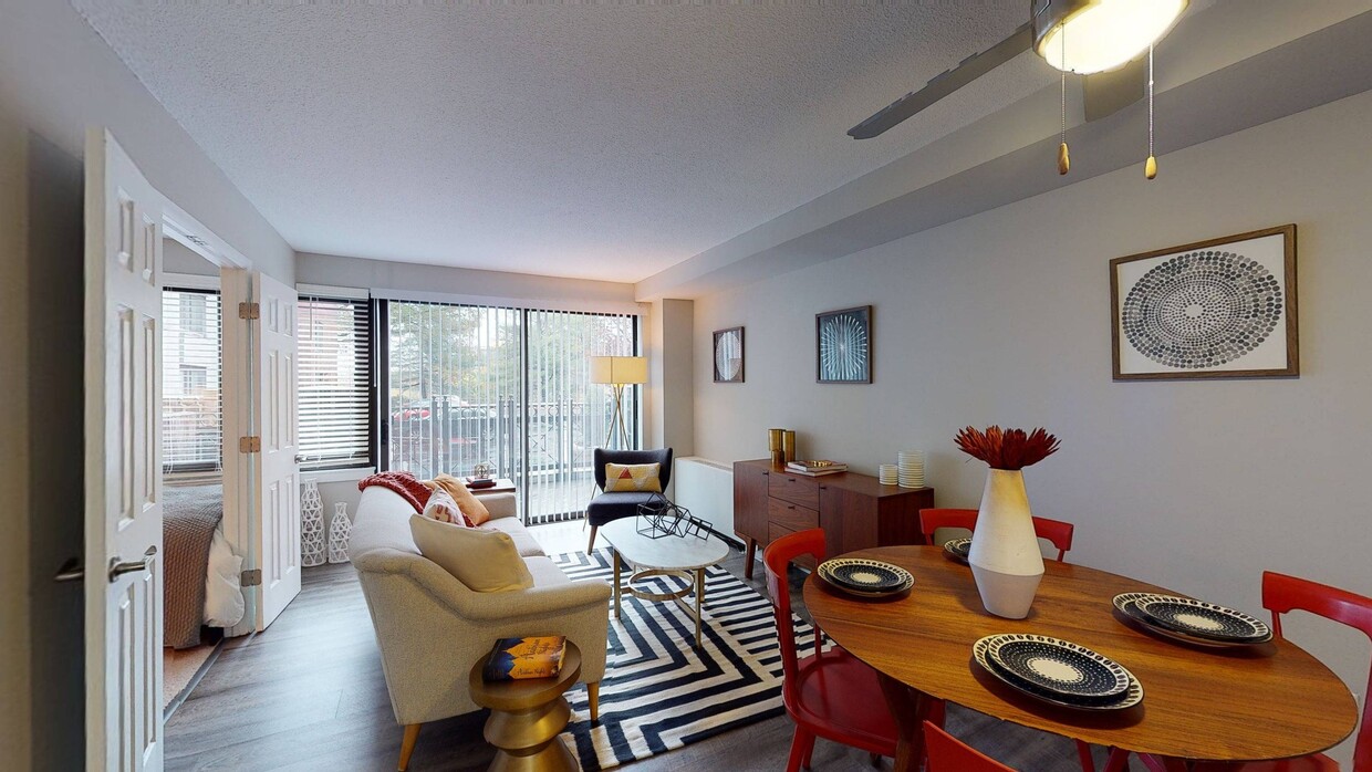
Located along I-395, less than 10-minutes from DC and less than 5-minutes from the Pentagon, Alister Arlington Ridge's spacious studio, one- and two- bedroom apartment homes are primed and ready to make one of the region's most central hotspots, Shirlington, your playground. Walk and grab a coffee at Busboys and Poets. Catch a flick at the AMC. Hit up happy hour at Copperwood Tavern. Then stroll back to swim by your sparking pool or host friends under the stars. Once inside, you'll enjoy some of the most spacious apartment spaces Arlington has to offer- complete with serene views of the famed Army-Navy Country Club golf course, a perfect counterpoint to the bustling city outside.
Located along I-395, less than 10-minutes from DC and less than 5-minutes from the Pentagon, Alister Arlington Ridge's spacious studio, one- and two- bedroom apartment homes are primed and ready to make one of the region's most central hotspots, Shirlington, your playground. Walk and grab a coffee at Busboys and Poets. Catch a flick at the AMC. Hit up happy hour at Copperwood Tavern. Then stroll back to swim by your sparking pool or host friends under the stars. Once inside, you'll enjoy some of the most spacious apartment spaces Arlington has to offer- complete with serene views of the famed Army-Navy Country Club golf course, a perfect counterpoint to the bustling city outside.
Alister Arlington Ridge is an apartment community located in Arlington County and the 22206 ZIP Code. This area is served by the Arlington County Public Schools attendance zone.
Pool
Fitness Center
Laundry Facilities
Elevator
Playground
Controlled Access
Recycling
Business Center
Washer/Dryer
Air Conditioning
Dishwasher
Hardwood Floors
Walk-In Closets
Microwave
Refrigerator
Disposal
Across the Potomac River from Washington, DC, rests the Nauck neighborhood. The blue and yellow metro lines run along the river and wrap around the south end of the cemetery, while the orange and silver lines enter Arlington from DC just to the north of the cemetery. Commercial communities are built up around these metro stops to the north and south, while the area in between is largely residential.
From Interstate 395 up north to Wilson Boulevard the residential communities of Penrose and Lyon Park provide nice suburbs for those looking to be a bit removed from the hustle and bustle while maintaining access to amenities, albeit by car. Nauck also encompasses the Pentagon and houses many of its employees.
Learn more about living in Nauck| Colleges & Universities | Distance | ||
|---|---|---|---|
| Colleges & Universities | Distance | ||
| Drive: | 6 min | 2.8 mi | |
| Drive: | 9 min | 4.6 mi | |
| Drive: | 10 min | 5.2 mi | |
| Drive: | 12 min | 6.2 mi |


Transportation options available in Arlington include Pentagon City, located 2.6 miles from Alister Arlington Ridge. Alister Arlington Ridge is near Ronald Reagan Washington Ntl, located 3.3 miles or 7 minutes away, and Washington Dulles International, located 24.9 miles or 43 minutes away.
| Transit / Subway | Distance | ||
|---|---|---|---|
| Transit / Subway | Distance | ||
|
|
Drive: | 4 min | 2.6 mi |
|
|
Drive: | 6 min | 2.9 mi |
|
|
Drive: | 6 min | 3.1 mi |
|
|
Drive: | 6 min | 3.2 mi |
| Drive: | 7 min | 3.2 mi |
| Commuter Rail | Distance | ||
|---|---|---|---|
| Commuter Rail | Distance | ||
|
|
Drive: | 6 min | 3.1 mi |
|
|
Drive: | 9 min | 4.0 mi |
|
|
Drive: | 10 min | 4.0 mi |
|
|
Drive: | 9 min | 5.3 mi |
|
|
Drive: | 9 min | 5.3 mi |
| Airports | Distance | ||
|---|---|---|---|
| Airports | Distance | ||
|
Ronald Reagan Washington Ntl
|
Drive: | 7 min | 3.3 mi |
|
Washington Dulles International
|
Drive: | 43 min | 24.9 mi |
Time and distance from Alister Arlington Ridge.
| Shopping Centers | Distance | ||
|---|---|---|---|
| Shopping Centers | Distance | ||
| Walk: | 11 min | 0.6 mi | |
| Walk: | 17 min | 0.9 mi | |
| Walk: | 19 min | 1.0 mi |
| Parks and Recreation | Distance | ||
|---|---|---|---|
| Parks and Recreation | Distance | ||
|
Douglas Park
|
Drive: | 4 min | 1.2 mi |
|
Shirlington Park
|
Drive: | 3 min | 1.2 mi |
|
Four Mile Run Park
|
Drive: | 2 min | 1.3 mi |
|
Lucky Run Park
|
Drive: | 4 min | 1.7 mi |
|
Allie S. Freed Park
|
Drive: | 5 min | 2.1 mi |
| Hospitals | Distance | ||
|---|---|---|---|
| Hospitals | Distance | ||
| Drive: | 6 min | 3.1 mi | |
| Drive: | 10 min | 3.9 mi | |
| Drive: | 11 min | 4.3 mi |
What Are Walk Score®, Transit Score®, and Bike Score® Ratings?
Walk Score® measures the walkability of any address. Transit Score® measures access to public transit. Bike Score® measures the bikeability of any address.
What is a Sound Score Rating?
A Sound Score Rating aggregates noise caused by vehicle traffic, airplane traffic and local sources
2400 S Glebe Rd
Arlington, VA 22206


