
Vanguard
1001 Marshall Ave,
Cincinnati, OH 45219
$683 - $1,419
Studio - 5 Beds
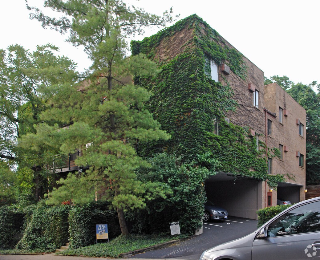
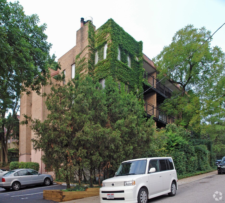
965 Paradrome St in Cincinnati is ready to be your home. In a convenient location on Paradrome St. in Cincinnati's 45202 Zip code, you can easily connect with a number of points of interest. Be sure to view the available floorplans. From location to floorplan options, the professional leasing team is ready to help you find the perfect new home. Drop by 965 Paradrome St today.
965 Paradrome St is an apartment community located in Hamilton County and the 45202 ZIP Code. This area is served by the Cincinnati Public Schools attendance zone.
Hugging the Ohio River just east of the Central Business District, Mount Adams is one of Cincinnati’s hippest and most historic neighborhoods. Vintage architecture is one of the area’s hallmarks, with the abundant brick buildings and townhomes lending a timeless atmosphere to the community. The variety of restaurants and bars is exceptional, with most residents living no more than a few blocks from the finest food and drink in town: from the upscale Celestial Steakhouse and Quincy’s Bar and Lounge to the more relaxed Calle Cantina and Tavern on the Hill, Mount Adams has the perfect spot for any occasion.
The sprawling Eden Park sits on the north end of the neighborhood, home of the popular Krohn Conservatory, Cincinnati Playhouse in the Park, and Cincinnati Art Museum.
Learn more about living in Mount Adams| Colleges & Universities | Distance | ||
|---|---|---|---|
| Colleges & Universities | Distance | ||
| Drive: | 8 min | 3.1 mi | |
| Drive: | 8 min | 3.2 mi | |
| Drive: | 10 min | 3.7 mi | |
| Drive: | 14 min | 6.7 mi |

Transportation options available in Cincinnati include Richter & Phillips Station, 6Th & Main, located 1.4 miles from 965 Paradrome St. 965 Paradrome St is near Cincinnati/Northern Kentucky International, located 15.4 miles or 28 minutes away.
| Transit / Subway | Distance | ||
|---|---|---|---|
| Transit / Subway | Distance | ||
| Drive: | 3 min | 1.4 mi | |
| Drive: | 4 min | 1.5 mi | |
| Drive: | 4 min | 1.6 mi | |
| Drive: | 4 min | 1.6 mi | |
| Drive: | 4 min | 1.6 mi |
| Commuter Rail | Distance | ||
|---|---|---|---|
| Commuter Rail | Distance | ||
|
|
Drive: | 7 min | 3.4 mi |
| Airports | Distance | ||
|---|---|---|---|
| Airports | Distance | ||
|
Cincinnati/Northern Kentucky International
|
Drive: | 28 min | 15.4 mi |
Time and distance from 965 Paradrome St.
| Shopping Centers | Distance | ||
|---|---|---|---|
| Shopping Centers | Distance | ||
| Drive: | 4 min | 1.8 mi | |
| Drive: | 5 min | 2.0 mi | |
| Drive: | 7 min | 3.3 mi |
| Parks and Recreation | Distance | ||
|---|---|---|---|
| Parks and Recreation | Distance | ||
|
Krohn Conservatory
|
Walk: | 12 min | 0.7 mi |
|
Eden Park
|
Walk: | 16 min | 0.8 mi |
|
Theodore M. Berry Friendship Park
|
Drive: | 3 min | 1.4 mi |
|
William H. Taft National Historic Site
|
Drive: | 6 min | 2.0 mi |
|
Newport Aquarium
|
Drive: | 5 min | 2.2 mi |
| Hospitals | Distance | ||
|---|---|---|---|
| Hospitals | Distance | ||
| Drive: | 6 min | 2.1 mi | |
| Drive: | 7 min | 2.8 mi | |
| Drive: | 7 min | 2.8 mi |
| Military Bases | Distance | ||
|---|---|---|---|
| Military Bases | Distance | ||
| Drive: | 74 min | 53.4 mi | |
| Drive: | 80 min | 58.4 mi | |
| Drive: | 82 min | 61.7 mi |
What Are Walk Score®, Transit Score®, and Bike Score® Ratings?
Walk Score® measures the walkability of any address. Transit Score® measures access to public transit. Bike Score® measures the bikeability of any address.
What is a Sound Score Rating?
A Sound Score Rating aggregates noise caused by vehicle traffic, airplane traffic and local sources


