
Nine88 Apartments
988 El Camino Real,
South San Francisco, CA 94080
1-2 Beds $3,243 - $5,874
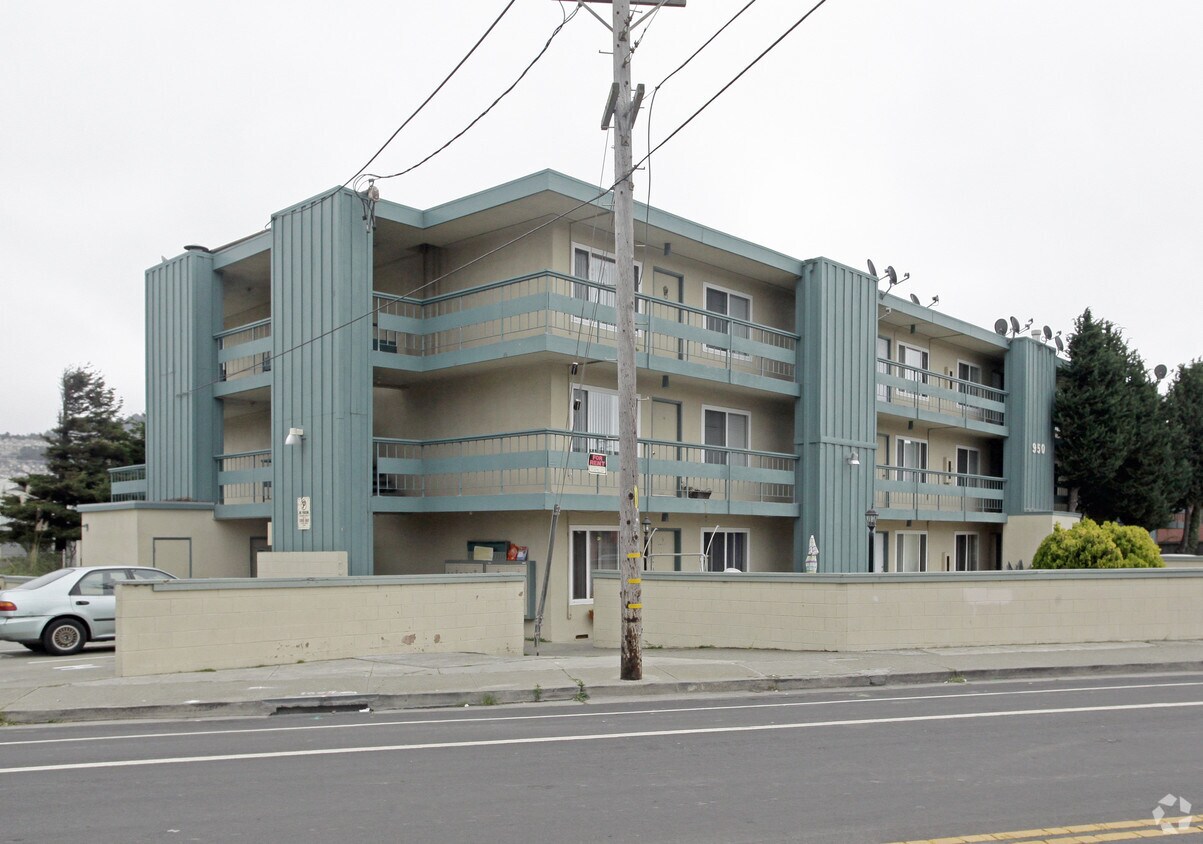

Meet your new home at 950 Antoinette Ln. Located in the 94080 area of South San Francisco on Antoinette Ln., renters have convenient access to a variety of attractions within a few miles. Come for a visit to view the available floorplans. The leasing staff is ready for you to come by for a tour. It's all waiting for you at 950 Antoinette Ln. Contact or drop by to talk about leasing your next apartment.
950 Antoinette Ln is an apartment community located in San Mateo County and the 94080 ZIP Code. This area is served by the South San Francisco Unified attendance zone.
Package Service
Picnic Area
Property Manager on Site
Maintenance on site
Refrigerator
Heating
Oven
Range
Folks in South San Francisco have easy access to The City via I-280, the 101, or BART rail service. This fact, coupled with the much lower crime rate and the area’s many excellent schools, makes South San Francisco apartments an appealing option for commuters, particularly those raising families.
Although primarily a residential community, South San Francisco does have a fairly active downtown scene, with much of the dining and entertainment centered around the intersection of Grande Avenue and Linden Avenue and shopping centers on the south side of town.
Many parks and nature preserves are scattered around the area, including the huge Sweeney Ridge and Fairway Park just to the west of the city limits. San Francisco International Airport sits directly south of town, making it highly convenient to travel anywhere.
Learn more about living in South San Francisco| Colleges & Universities | Distance | ||
|---|---|---|---|
| Colleges & Universities | Distance | ||
| Drive: | 9 min | 3.9 mi | |
| Drive: | 12 min | 6.8 mi | |
| Drive: | 12 min | 7.2 mi | |
| Drive: | 18 min | 9.4 mi |


Transportation options available in South San Francisco include South San Francisco Station, located 0.8 mile from 950 Antoinette Ln. 950 Antoinette Ln is near San Francisco International, located 5.0 miles or 11 minutes away, and Metro Oakland International, located 30.0 miles or 44 minutes away.
| Transit / Subway | Distance | ||
|---|---|---|---|
| Transit / Subway | Distance | ||
|
|
Walk: | 15 min | 0.8 mi |
|
|
Walk: | 15 min | 0.8 mi |
|
|
Drive: | 4 min | 2.1 mi |
|
|
Drive: | 5 min | 3.0 mi |
| Drive: | 7 min | 3.6 mi |
| Commuter Rail | Distance | ||
|---|---|---|---|
| Commuter Rail | Distance | ||
| Drive: | 5 min | 2.3 mi | |
| Drive: | 5 min | 2.5 mi | |
| Drive: | 10 min | 5.4 mi | |
| Drive: | 12 min | 6.7 mi | |
| Drive: | 12 min | 7.5 mi |
| Airports | Distance | ||
|---|---|---|---|
| Airports | Distance | ||
|
San Francisco International
|
Drive: | 11 min | 5.0 mi |
|
Metro Oakland International
|
Drive: | 44 min | 30.0 mi |
Time and distance from 950 Antoinette Ln.
| Shopping Centers | Distance | ||
|---|---|---|---|
| Shopping Centers | Distance | ||
| Walk: | 5 min | 0.3 mi | |
| Walk: | 6 min | 0.3 mi | |
| Walk: | 12 min | 0.6 mi |
| Parks and Recreation | Distance | ||
|---|---|---|---|
| Parks and Recreation | Distance | ||
|
Pacifica State Beach
|
Drive: | 12 min | 6.8 mi |
|
San Bruno Mountain State Park
|
Drive: | 16 min | 7.2 mi |
|
San Francisco State Univ. Observatory
|
Drive: | 14 min | 7.5 mi |
|
Charles F. Hagar Planetarium
|
Drive: | 14 min | 7.5 mi |
|
Candlestick Point State Recreation Area
|
Drive: | 15 min | 7.6 mi |
| Hospitals | Distance | ||
|---|---|---|---|
| Hospitals | Distance | ||
| Walk: | 9 min | 0.5 mi | |
| Drive: | 6 min | 3.3 mi | |
| Drive: | 9 min | 5.3 mi |
| Military Bases | Distance | ||
|---|---|---|---|
| Military Bases | Distance | ||
| Drive: | 25 min | 11.4 mi | |
| Drive: | 26 min | 12.0 mi |
What Are Walk Score®, Transit Score®, and Bike Score® Ratings?
Walk Score® measures the walkability of any address. Transit Score® measures access to public transit. Bike Score® measures the bikeability of any address.
What is a Sound Score Rating?
A Sound Score Rating aggregates noise caused by vehicle traffic, airplane traffic and local sources

950 Antoinette Ln
South San Francisco, CA 94080


