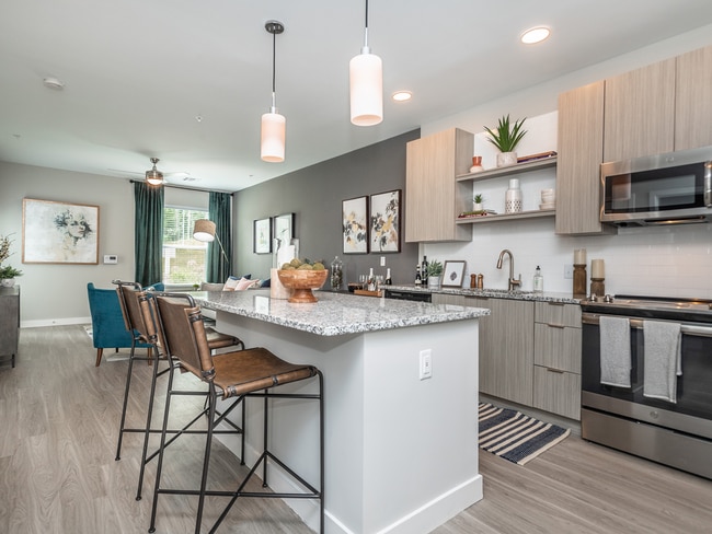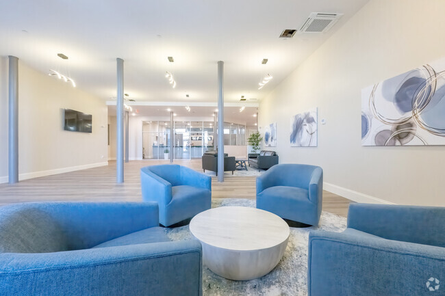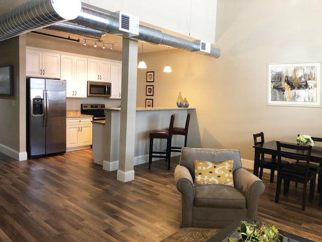
US Rubber Lofts
12 Eagle St,
Providence, RI 02908
$1,735 - $2,865
1-2 Beds
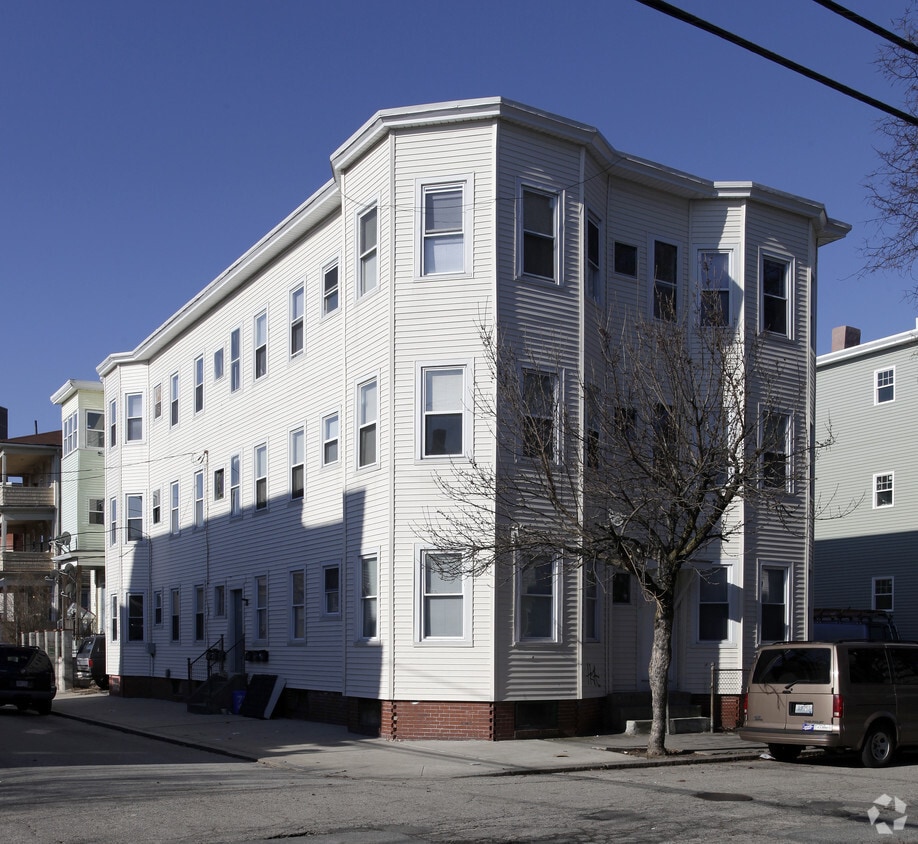
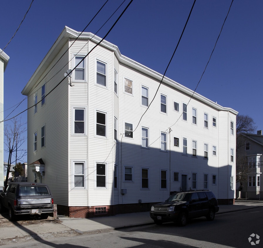

At 79 Ring St, you've discovered your new place. The 79 Ring St. location in Providence's 02909 Zip code is an ideal place for residents. The leasing staff is waiting to show you all that this community has in store. Come by to check out the current floorplan options. It's time to get moving on finding your next place. Contact or stop by 79 Ring St to check the current floorplan availability today!
79 Ring St is an apartment community located in Providence County and the 02909 ZIP Code. This area is served by the Providence School District attendance zone.
Also referred to as the Armory District or simply the West End, West End Providence is the largest neighborhood in the city. This diverse, historic neighborhood is home to the Cranston Street Armory, a landmark listed as its own National Historic District. The armory was built in 1907 and is often used as a filming location by movie studios. The West End underwent revitalization during recent years and continues to offer amazing amenities. The West End is known for its authentic eateries, quirky shops, a vibrant youth arts scene, and strong sense of community. Despite being the largest neighborhood in the city, the West End feels close-knit with community organizations like the West Broadway Neighborhood Association bringing together family and friends to preserve the cultural richness of the area. Fittingly, the West End has a wide range of rentals available ranging from highly affordable to upscale.
Learn more about living in West End ProvidenceCompare neighborhood and city base rent averages by bedroom.
| West End Providence | Providence, RI | |
|---|---|---|
| Studio | $1,236 | $1,826 |
| 1 Bedroom | $1,761 | $2,116 |
| 2 Bedrooms | $1,954 | $2,618 |
| 3 Bedrooms | $1,193 | $2,932 |
| Colleges & Universities | Distance | ||
|---|---|---|---|
| Colleges & Universities | Distance | ||
| Drive: | 4 min | 1.4 mi | |
| Drive: | 4 min | 1.5 mi | |
| Drive: | 5 min | 1.8 mi | |
| Drive: | 5 min | 2.0 mi |


 The GreatSchools Rating helps parents compare schools within a state based on a variety of school quality indicators and provides a helpful picture of how effectively each school serves all of its students. Ratings are on a scale of 1 (below average) to 10 (above average) and can include test scores, college readiness, academic progress, advanced courses, equity, discipline and attendance data. We also advise parents to visit schools, consider other information on school performance and programs, and consider family needs as part of the school selection process.
Scores provided by
 What do Walkability, Transit, Drivability, and Bikeability mean?
Walkability measures the walking distance to day-to-day needs.
Transit measures access to public transportation.
Drivability measures congestion, parking availability, and access to major roads.
Bikeability measures the suitability for cycling.
How It Works
What do Walkability, Transit, Drivability, and Bikeability mean?
Walkability measures the walking distance to day-to-day needs.
Transit measures access to public transportation.
Drivability measures congestion, parking availability, and access to major roads.
Bikeability measures the suitability for cycling.
How It Works
Traffic
-Airport
-Businesses
-Scores provided by
HowLoud What is a Sound Score Rating? A Sound Score Rating aggregates noise caused by vehicle traffic, airplane traffic and local sources. How It WorksPets Allowed Fitness Center Pool Dishwasher Kitchen In Unit Washer & Dryer Walk-In Closets
What Are Walk Score®, Transit Score®, and Bike Score® Ratings?
Walk Score® measures the walkability of any address. Transit Score® measures access to public transit. Bike Score® measures the bikeability of any address.
What is a Sound Score Rating?
A Sound Score Rating aggregates noise caused by vehicle traffic, airplane traffic and local sources.