
Venue Residences
3688 Overland Ave,
Los Angeles, CA 90034
$2,645 - $6,750
Studio - 2 Beds
Bedrooms
Studio - 2 bd
Bathrooms
1 - 2 ba
Square Feet
600 - 1,195 sq ft
HUGE MOVE IN SPECIALS - PLEASE NOTE THE ADVERTISED RENT IS A DISCOUNT/CONCESSION FOR PART OF THE LEASE TERM. SEE THE INDIVIDUAL UNIT LEVEL BELOW FOR FURTHER INFORMATION ABOUT THE CONCESSION OR CONTACT THE AGENT. Down the street from UCLA. Gorgeous renovated units with quartz counter tops, central air and private balconies. Laminate wood flooring in common areas, carpeted bedrooms. Elevator, roof deck, gated garage parking available. Bike rack for tenants. Laundry onsite. On-site management. 0.4 miles to UCLA.
HUGE MOVE IN SPECIALS - PLEASE NOTE THE ADVERTISED RENT IS A DISCOUNT/CONCESSION FOR PART OF THE LEASE TERM. SEE THE INDIVIDUAL UNIT LEVEL BELOW FOR FURTHER INFORMATION ABOUT THE CONCESSION OR CONTACT THE AGENT. Down the street from UCLA. Gorgeous renovated units with quartz counter tops, central air and private balconies. Laminate wood flooring in common areas, carpeted bedrooms. Elevator, roof deck, gated garage parking available. Bike rack for tenants. Laundry onsite. On-site management. 0.4 miles to UCLA.
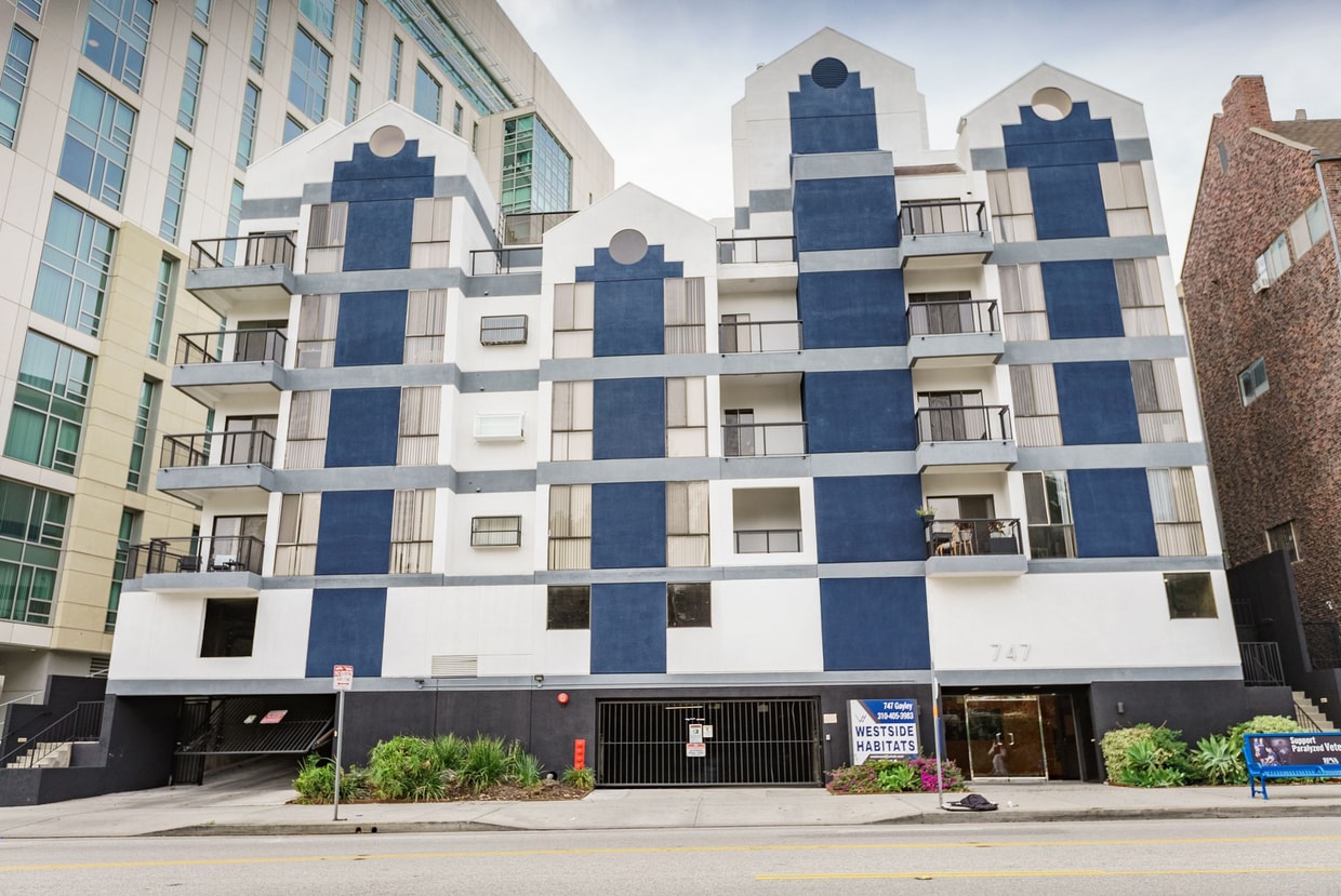
747 Gayley Ave is an apartment community located in Los Angeles County and the 90024 ZIP Code. This area is served by the Los Angeles Unified Rocp School District attendance zone.
Unique Features
Air Conditioning
Dishwasher
Microwave
Refrigerator
Home to UCLA, Westwood lies on the west side of the city and is considered to be one of Los Angeles’ premier neighborhoods. Bordered by Beverly Hills, Bel Air, Brentwood, and Century City, multimillion dollar homes populate the landscape and students pay a premium to rent near campus.
The university itself serves as a major cultural center for the community, including on-campus attractions (such as the Fowler Museum and the Franklin D. Murphy Sculpture Garden) and university-affiliated venues off-campus (The Hammer Museum, the Geffen Playhouse), as well as the presence of thousands of students and faculty members throughout the neighborhood.
Directly south of campus, Westwood Village is a historic shopping district that features blocks of restaurants and businesses catering to both students and the neighborhood’s larger workforce. Many prominent corporations and law offices are found along Wilshire Boulevard, one of the busiest east-west transit corridors across the city.
Learn more about living in WestwoodCompare neighborhood and city base rent averages by bedroom.
| Westwood | Los Angeles, CA | |
|---|---|---|
| Studio | $2,067 | $1,709 |
| 1 Bedroom | $2,815 | $2,174 |
| 2 Bedrooms | $3,988 | $3,004 |
| 3 Bedrooms | $6,054 | $4,257 |
| Colleges & Universities | Distance | ||
|---|---|---|---|
| Colleges & Universities | Distance | ||
| Walk: | 7 min | 0.4 mi | |
| Drive: | 8 min | 3.4 mi | |
| Drive: | 10 min | 4.5 mi | |
| Drive: | 15 min | 4.6 mi |


Transportation options available in Los Angeles include Westwood/Rancho Park, located 2.5 miles from 747 Gayley Ave. 747 Gayley Ave is near Los Angeles International, located 10.9 miles or 18 minutes away, and Bob Hope, located 17.7 miles or 26 minutes away.
| Transit / Subway | Distance | ||
|---|---|---|---|
| Transit / Subway | Distance | ||
|
|
Drive: | 6 min | 2.5 mi |
| Drive: | 6 min | 2.6 mi | |
|
|
Drive: | 7 min | 4.2 mi |
|
|
Drive: | 10 min | 4.2 mi |
|
|
Drive: | 9 min | 5.4 mi |
| Commuter Rail | Distance | ||
|---|---|---|---|
| Commuter Rail | Distance | ||
|
|
Drive: | 20 min | 14.1 mi |
|
|
Drive: | 27 min | 14.1 mi |
|
|
Drive: | 27 min | 17.7 mi |
|
|
Drive: | 26 min | 18.5 mi |
| Drive: | 28 min | 18.6 mi |
| Airports | Distance | ||
|---|---|---|---|
| Airports | Distance | ||
|
Los Angeles International
|
Drive: | 18 min | 10.9 mi |
|
Bob Hope
|
Drive: | 26 min | 17.7 mi |
Time and distance from 747 Gayley Ave.
| Shopping Centers | Distance | ||
|---|---|---|---|
| Shopping Centers | Distance | ||
| Walk: | 4 min | 0.2 mi | |
| Walk: | 5 min | 0.3 mi | |
| Walk: | 6 min | 0.4 mi |
| Parks and Recreation | Distance | ||
|---|---|---|---|
| Parks and Recreation | Distance | ||
|
Mathias Botanical Garden
|
Walk: | 7 min | 0.4 mi |
|
Hannah Carter Japanese Garden
|
Drive: | 6 min | 1.8 mi |
|
Virginia Robinson Gardens
|
Drive: | 10 min | 3.6 mi |
|
Franklin Canyon Park
|
Drive: | 19 min | 6.4 mi |
|
Will Rogers State Historic Park
|
Drive: | 18 min | 6.8 mi |
| Hospitals | Distance | ||
|---|---|---|---|
| Hospitals | Distance | ||
| Walk: | 4 min | 0.2 mi | |
| Walk: | 4 min | 0.2 mi | |
| Drive: | 8 min | 3.5 mi |
| Military Bases | Distance | ||
|---|---|---|---|
| Military Bases | Distance | ||
| Drive: | 18 min | 13.5 mi |
Pets Allowed In Unit Washer & Dryer Maintenance on site Heat Controlled Access Elevator
What Are Walk Score®, Transit Score®, and Bike Score® Ratings?
Walk Score® measures the walkability of any address. Transit Score® measures access to public transit. Bike Score® measures the bikeability of any address.
What is a Sound Score Rating?
A Sound Score Rating aggregates noise caused by vehicle traffic, airplane traffic and local sources.

747 Gayley Ave
Los Angeles, CA 90024


