

$2,600 / Month
719 Flushing Ave
Brooklyn, NY 11206
2 Weeks Ago
Favorites
719 Flushing Ave

Favorites
Check Back Soon for Upcoming Availability
| Beds | Baths | Average SF |
|---|---|---|
| 2 Bedrooms 2 Bedrooms 2 Br | 1 Bath 1 Bath 1 Ba | — |
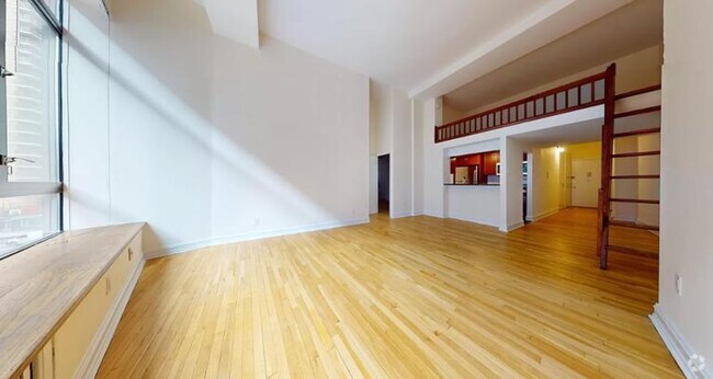
About This Property
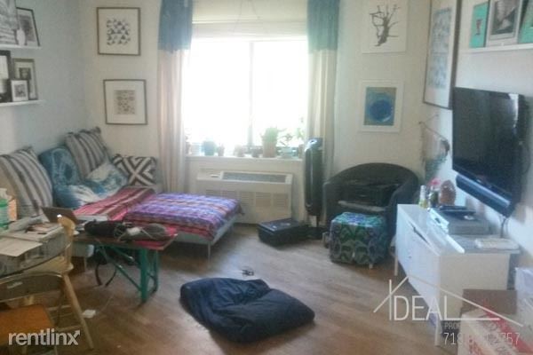
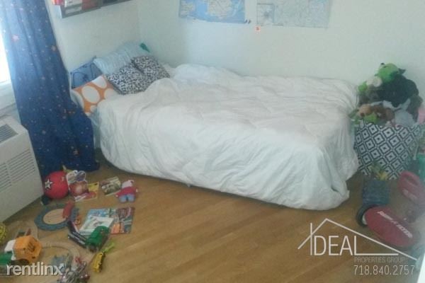
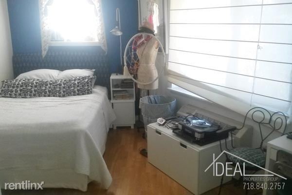
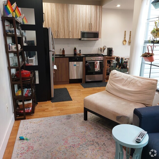
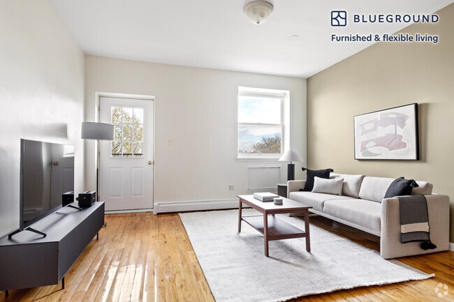
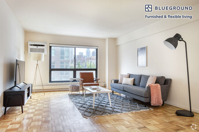
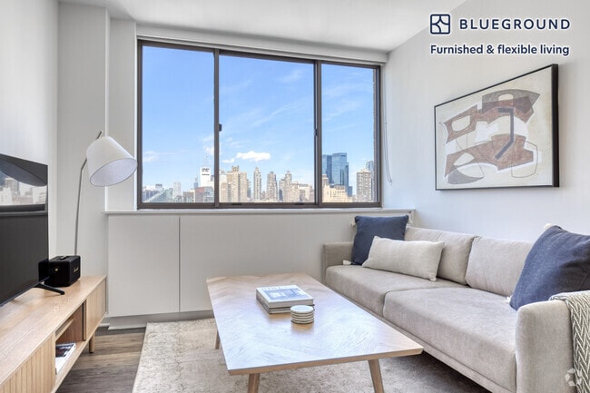
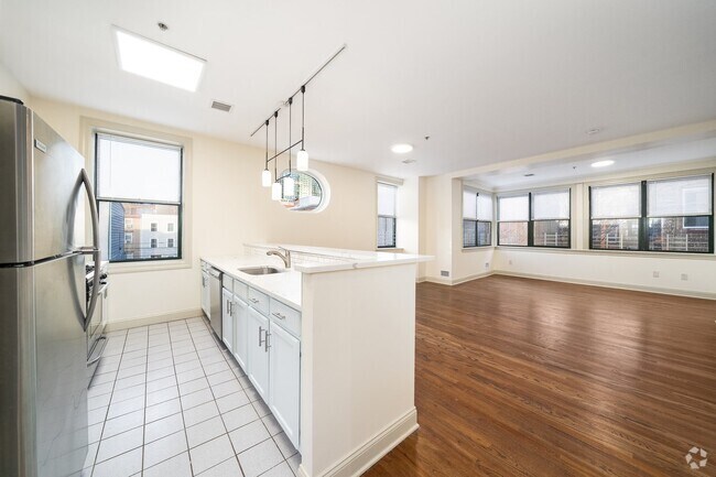
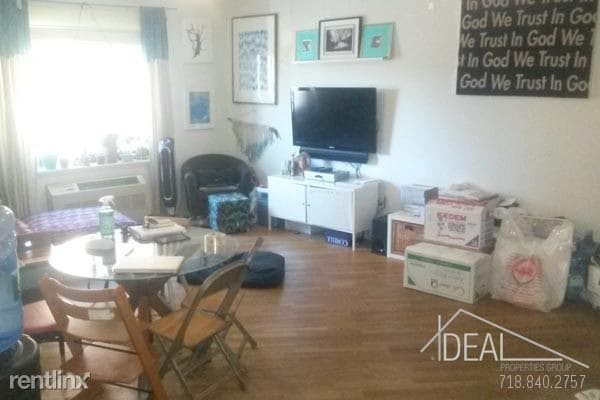
(212) 470-0242 - Awesome 2BR in East Williamsburg! - Call your Ideal Properties Group rental specialist today to view this great rental home! The apartment has great natural light and plenty of room. Convenient to Broadway, and the G train is also close by. Both bedrooms can fit a queen sized bed with room to spare. Open living room can accommodate a dining table and the kitchen is spacious, and has a dishwasher, built-in microwave, and granite counters.<br> <br> Tenant pays utilities. Washer-dryer hookup adds additional value! Call now. No Pets Allowed (RLNE3917920) Other Amenities - Unfurnished, Parking, Other- Architecture Style:. Appliances - Dishwasher, Washer & Dryer. Pet policies - No Dogs Allowed, No Pets Allowed.
719 Flushing Ave is a condo located in Kings County and the 11206 ZIP Code. This area is served by the New York City Geographic District #14 attendance zone.
Location
Get Directions
The Broadway Triangle is located between Broadway, Union Avenue, and Flushing Avenue in Brooklyn. The small neighborhood contains four subway stations: two on either end of Flushing Avenue within the neighborhood and two on Broadway. It is the location of the former Pfizer Company building, which is being redeveloped into apartments.
The Triangle is typical of Brooklyn: brick apartment buildings, corner bakeries, and delis crowd the busy streets. It is a very walkable, bicycle-friendly neighborhood with bike-sharing stations located on Throop Avenue. The Broadway Triangle features two playgrounds, the De Hostos Playground and the Bartlett Playground.
Learn more about living in Broadway TriangleBelow are rent ranges for similar nearby apartments
Education
| Colleges & Universities | Distance | ||
|---|---|---|---|
| Colleges & Universities | Distance | ||
| Drive: | 5 min | 1.6 mi | |
| Drive: | 5 min | 1.8 mi | |
| Drive: | 6 min | 2.5 mi | |
| Drive: | 7 min | 2.5 mi |
719 Flushing Ave is within 5 minutes or 1.6 miles from Pratt Institute. It is also near Saint Joseph's Coll, Brooklyn and City Tech - CUNY.
Schools

Public Elementary, Middle & High School
Grades PK-12
220 Students
Nearby
Charter Elementary & Middle School
Grades K-8
369 Students
Nearby
Public Elementary School
Grades PK-5
390 Students
Attendance Zone
Public High School
Grades 9-12
74 Students
Nearby
Private Elementary, Middle & High School
Grades PK-12
848 Students
Nearby
Private Elementary & Middle School
Grades PK-9
Nearby
Private Elementary & Middle School
Grades PK-8
224 Students
Nearby
Private Elementary & Middle School
Grades K-8
Nearby
School data provided by
 The GreatSchools Rating helps parents compare schools within a state based on a variety of school quality indicators and provides a helpful picture of how effectively each school serves all of its students. Ratings are on a scale of 1 (below average) to 10 (above average) and can include test scores, college readiness, academic progress, advanced courses, equity, discipline and attendance data. We also advise parents to visit schools, consider other information on school performance and programs, and consider family needs as part of the school selection process.
View GreatSchools Rating Methodology
View GreatSchools Rating Methodology
Transportation options available in Brooklyn include Flushing Avenue (J,M Line), located 0.2 mile from 719 Flushing Ave. 719 Flushing Ave is near LaGuardia, located 8.2 miles or 17 minutes away, and John F Kennedy International, located 12.5 miles or 22 minutes away.
| Transit / Subway | Distance | ||
|---|---|---|---|
| Transit / Subway | Distance | ||
|
|
Walk: | 3 min | 0.2 mi |
|
|
Walk: | 6 min | 0.3 mi |
| Walk: | 7 min | 0.4 mi | |
| Walk: | 9 min | 0.5 mi | |
|
|
Walk: | 10 min | 0.5 mi |
| Commuter Rail | Distance | ||
|---|---|---|---|
| Commuter Rail | Distance | ||
|
|
Drive: | 6 min | 2.1 mi |
|
|
Drive: | 8 min | 3.0 mi |
|
|
Drive: | 7 min | 3.1 mi |
|
|
Drive: | 12 min | 3.5 mi |
|
|
Drive: | 12 min | 3.8 mi |
| Airports | Distance | ||
|---|---|---|---|
| Airports | Distance | ||
|
LaGuardia
|
Drive: | 17 min | 8.2 mi |
|
John F Kennedy International
|
Drive: | 22 min | 12.5 mi |
Time and distance from 719 Flushing Ave.
| Shopping Centers | Distance | ||
|---|---|---|---|
| Shopping Centers | Distance | ||
| Drive: | 5 min | 1.6 mi | |
| Drive: | 6 min | 2.1 mi | |
| Drive: | 5 min | 2.2 mi |
719 Flushing Ave has 3 shopping centers within 2.2 miles, which is about a 5-minute drive. The miles and minutes will be for the farthest away property.
| Parks and Recreation | Distance | ||
|---|---|---|---|
| Parks and Recreation | Distance | ||
|
Sternberg Park
|
Walk: | 9 min | 0.5 mi |
|
Martinez Playground
|
Walk: | 13 min | 0.7 mi |
|
Maria Hernandez Park
|
Drive: | 4 min | 1.3 mi |
|
Hattie Carthan Garden
|
Drive: | 4 min | 1.3 mi |
|
McCarren Park
|
Drive: | 6 min | 1.7 mi |
719 Flushing Ave has 5 parks within 1.7 miles, including Sternberg Park, Martinez Playground, and Hattie Carthan Garden.
| Hospitals | Distance | ||
|---|---|---|---|
| Hospitals | Distance | ||
| Walk: | 2 min | 0.1 mi | |
| Drive: | 5 min | 1.8 mi | |
| Drive: | 7 min | 2.1 mi |
719 Flushing Ave has 3 hospitals within 2.1 miles, the nearest is Woodhull Medical & Mental Health Center which is 0.1 mile away and a 2 minute walk.
| Military Bases | Distance | ||
|---|---|---|---|
| Military Bases | Distance | ||
| Drive: | 16 min | 6.1 mi | |
| Drive: | 20 min | 10.5 mi |
719 Flushing Ave is 6.1 miles from Governors Island Support Center, and is convenient to other military bases, including Fort Hamilton.
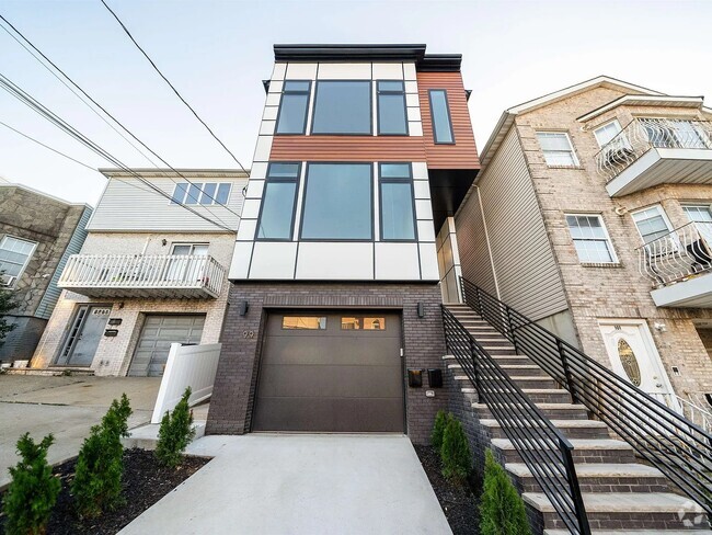
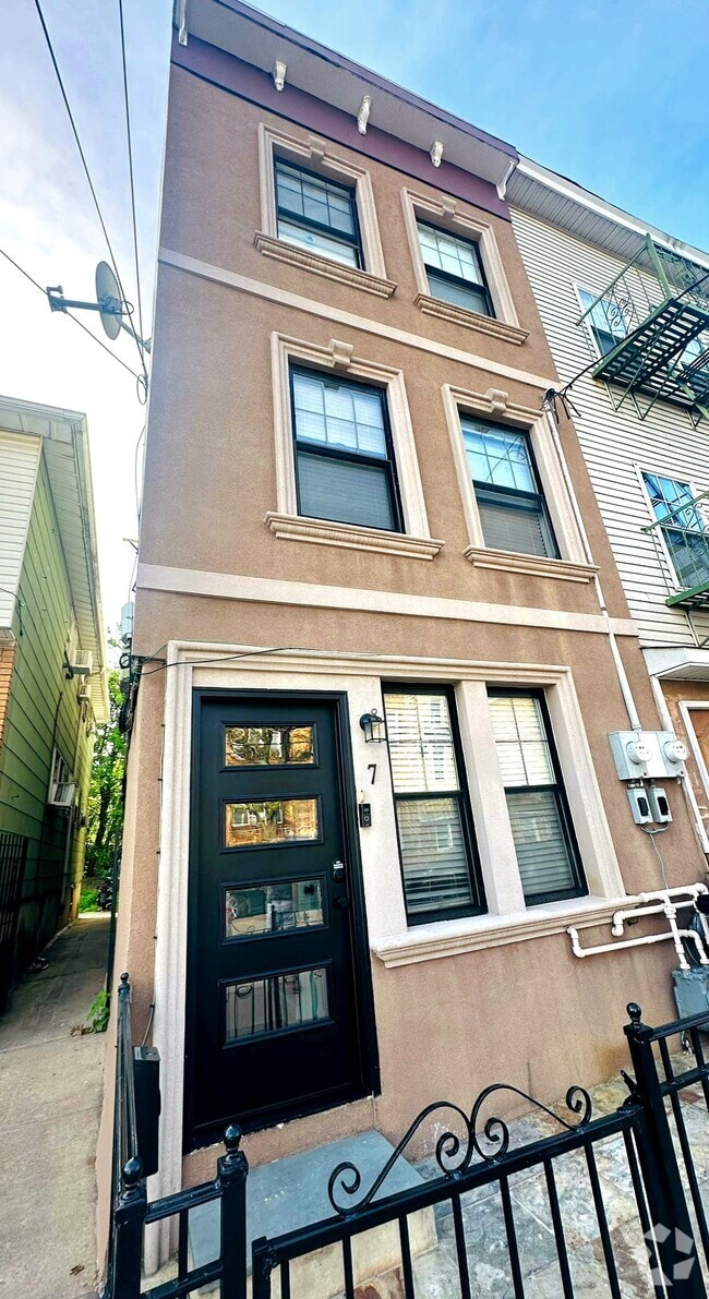
You May Also Like
Similar Rentals Nearby

What Are Walk Score®, Transit Score®, and Bike Score® Ratings?
Walk Score® measures the walkability of any address. Transit Score® measures access to public transit. Bike Score® measures the bikeability of any address.
What is a Sound Score Rating?
A Sound Score Rating aggregates noise caused by vehicle traffic, airplane traffic and local sources
719 Flushing Ave
Brooklyn, NY 11206