
Imprint
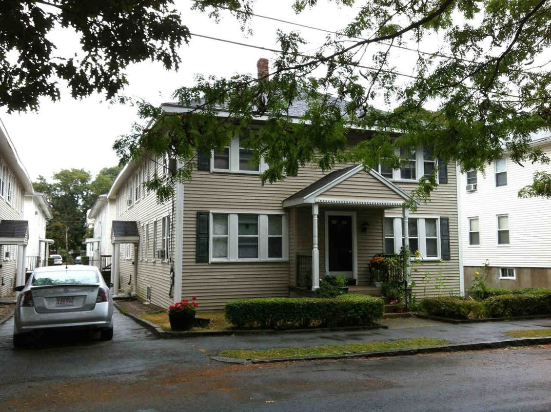
780 William T Morrissey Blvd,
Boston, MA 02122
$2,225 - $3,252 Plus Fees
Studio - 2 Beds
Find your new home at 70 Safford St in Quincy, MA. This community is located in the Quincy Point area of Quincy. Select from 1 to 2 bedroom floor plans and then schedule a visit to see them in person. Let the professional leasing staff show you everything this community has in store. Experience a new standard at 70 Safford St.
70 Safford St is an apartment community located in Norfolk County and the 02170 ZIP Code. This area is served by the Quincy School District attendance zone.
Rich history and urban convenience meld together to form the coastal community of Quincy Point. Located about eleven miles outside of Boston, Quincy Point sits just east of Quincy Center (which is the “Point”) between Town River Bay and Weymouth Fore. Originally the site of a naval shipyard, the area attracted shipbuilders, fisherman, and even aviation pilots, forming a truly military-oriented community.
Though residents have a solid connection to Boston, they still very much display a strong and independent sense of identity. In addition to their Quincy Point apartments, locals share the love of the community beaches like Avalon. The popular Wollaston Beach, just two miles away, provides more than two miles of shoreline, a jogging and biking trail, and the Moswetuset Hummock National Historic Site. The United States Naval Shipbuilding Museum is housed at the shipyard, a cool and fun-filled family outing. Another great destination, Faxon Park, is about a mile from Quincy Point.
Learn more about living in Quincy PointCompare neighborhood and city base rent averages by bedroom.
| Quincy Point | Quincy, MA | |
|---|---|---|
| Studio | $1,875 | $2,192 |
| 1 Bedroom | $2,267 | $2,495 |
| 2 Bedrooms | $2,535 | $3,004 |
| 3 Bedrooms | $3,385 | $4,089 |
| Colleges & Universities | Distance | ||
|---|---|---|---|
| Colleges & Universities | Distance | ||
| Drive: | 14 min | 7.8 mi | |
| Drive: | 18 min | 7.8 mi | |
| Drive: | 18 min | 8.8 mi | |
| Drive: | 17 min | 10.2 mi |

Transportation options available in Quincy include Quincy Adams Station, located 1.6 miles from 70 Safford St. 70 Safford St is near General Edward Lawrence Logan International, located 13.1 miles or 22 minutes away.
| Transit / Subway | Distance | ||
|---|---|---|---|
| Transit / Subway | Distance | ||
|
|
Drive: | 4 min | 1.6 mi |
|
|
Drive: | 5 min | 2.3 mi |
|
|
Drive: | 7 min | 3.4 mi |
|
|
Drive: | 8 min | 3.6 mi |
|
|
Drive: | 10 min | 5.2 mi |
| Commuter Rail | Distance | ||
|---|---|---|---|
| Commuter Rail | Distance | ||
|
|
Walk: | 17 min | 0.9 mi |
| Drive: | 5 min | 2.3 mi | |
|
|
Drive: | 7 min | 3.3 mi |
|
|
Drive: | 11 min | 5.1 mi |
|
|
Drive: | 12 min | 5.6 mi |
| Airports | Distance | ||
|---|---|---|---|
| Airports | Distance | ||
|
General Edward Lawrence Logan International
|
Drive: | 22 min | 13.1 mi |
Scores provided by
Traffic
BusyAirport
CalmBusinesses
ActiveScores provided by
HowLoud What is a Sound Score Rating? A Sound Score Rating aggregates noise caused by vehicle traffic, airplane traffic and local sources. How It WorksTime and distance from 70 Safford St.
| Shopping Centers | Distance | ||
|---|---|---|---|
| Shopping Centers | Distance | ||
| Walk: | 1 min | 0.1 mi | |
| Walk: | 7 min | 0.4 mi | |
| Walk: | 11 min | 0.6 mi |
| Parks and Recreation | Distance | ||
|---|---|---|---|
| Parks and Recreation | Distance | ||
|
Adams National Historical Park
|
Drive: | 3 min | 1.5 mi |
|
Webb Memorial State Park
|
Drive: | 11 min | 4.7 mi |
|
Squantum Point Park
|
Drive: | 13 min | 4.9 mi |
|
Houghton's Pond Recreation Area
|
Drive: | 13 min | 7.6 mi |
|
Dorchester Shores Reservation
|
Drive: | 13 min | 7.7 mi |
| Hospitals | Distance | ||
|---|---|---|---|
| Hospitals | Distance | ||
| Drive: | 10 min | 5.2 mi | |
| Drive: | 10 min | 5.4 mi | |
| Drive: | 10 min | 5.7 mi |
Fitness Center Pool Dishwasher Kitchen In Unit Washer & Dryer Walk-In Closets
Pets Allowed Fitness Center Dishwasher Refrigerator Kitchen In Unit Washer & Dryer
Fitness Center Clubhouse Balcony Granite Countertops Smoke Free Basketball Court
Pets Allowed Fitness Center Pool Walk-In Closets Business Center Package Service Elevator
What Are Walk Score®, Transit Score®, and Bike Score® Ratings?
Walk Score® measures the walkability of any address. Transit Score® measures access to public transit. Bike Score® measures the bikeability of any address.
What is a Sound Score Rating?
A Sound Score Rating aggregates noise caused by vehicle traffic, airplane traffic and local sources.

70 Safford St
Quincy, MA 02170


