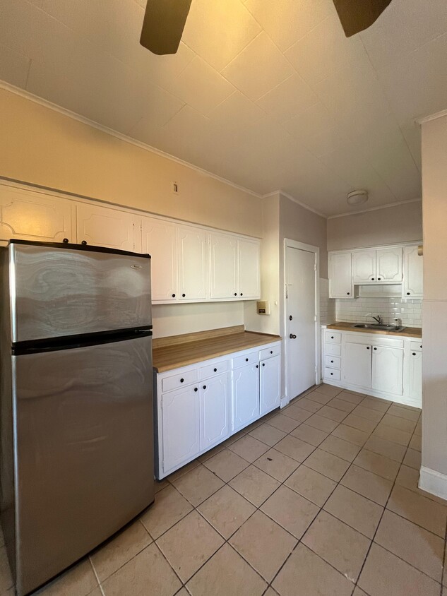

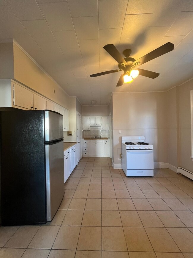
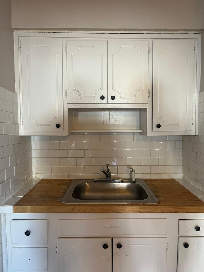

67 W 53rd St
Bayonne, NJ 07002
-
Bedrooms
3
-
Bathrooms
1
-
Square Feet
1,000 sq ft
-
Available
Available Now
Highlight
- Pets Allowed

2 Available Units
67 W 53Rd St is an apartment community located in Hudson County and the 07002 ZIP Code.
Apartment Features
- Instalaciones de lavandería
Fees and Policies
The fees listed below are community-provided and may exclude utilities or add-ons. All payments are made directly to the property and are non-refundable unless otherwise specified.
- Dogs Allowed
-
Fees not specified
- Cats Allowed
-
Fees not specified
Details
Property Information
-
2 units
Contact
- Listed by Benjamin Roth
- Contact
Located on New Jersey's Bergen Neck peninsula, Bayonne combines waterfront living with easy city access. This historic city, situated between Newark Bay and Upper New York Bay, offers views of the Manhattan skyline and the Bayonne Bridge. Housing options include single-family homes, apartments, and renovated brownstones, with current average rents ranging from $2,054 for studios to $3,938 for three-bedroom units. The Peninsula at Bayonne Harbor area continues to grow with new residential developments near the Cape Liberty Cruise Port.
Broadway serves as Bayonne's main commercial corridor, where the Bayonne Town Center features local shops and restaurants. The city's green spaces include Stephen R. Gregg Hudson County Park and the Hackensack RiverWalk, offering waterfront paths and recreation areas. Residents can access neighboring communities via the Hudson-Bergen Light Rail.
Learn more about living in Bayonne| Colleges & Universities | Distance | ||
|---|---|---|---|
| Colleges & Universities | Distance | ||
| Drive: | 5 min | 2.3 mi | |
| Drive: | 8 min | 3.6 mi | |
| Drive: | 9 min | 4.3 mi | |
| Drive: | 17 min | 9.0 mi |
Transportation options available in Bayonne include Danforth Avenue, located 1.2 miles from 67 W 53rd St. 67 W 53rd St is near Newark Liberty International, located 5.5 miles or 8 minutes away, and LaGuardia, located 17.9 miles or 34 minutes away.
| Transit / Subway | Distance | ||
|---|---|---|---|
| Transit / Subway | Distance | ||
|
|
Drive: | 2 min | 1.2 mi |
|
|
Drive: | 3 min | 1.3 mi |
|
|
Drive: | 2 min | 1.4 mi |
|
|
Drive: | 4 min | 1.8 mi |
|
|
Drive: | 5 min | 3.1 mi |
| Commuter Rail | Distance | ||
|---|---|---|---|
| Commuter Rail | Distance | ||
|
|
Drive: | 9 min | 4.3 mi |
|
|
Drive: | 7 min | 5.0 mi |
|
|
Drive: | 13 min | 7.3 mi |
|
|
Drive: | 22 min | 9.6 mi |
|
|
Drive: | 22 min | 9.9 mi |
| Airports | Distance | ||
|---|---|---|---|
| Airports | Distance | ||
|
Newark Liberty International
|
Drive: | 8 min | 5.5 mi |
|
LaGuardia
|
Drive: | 34 min | 17.9 mi |
Time and distance from 67 W 53rd St.
| Shopping Centers | Distance | ||
|---|---|---|---|
| Shopping Centers | Distance | ||
| Walk: | 7 min | 0.4 mi | |
| Walk: | 13 min | 0.7 mi | |
| Drive: | 3 min | 1.2 mi |
| Parks and Recreation | Distance | ||
|---|---|---|---|
| Parks and Recreation | Distance | ||
|
Stephen Gregg Park
|
Walk: | 16 min | 0.8 mi |
|
G. Thomas DiDomenico Park
|
Drive: | 6 min | 2.4 mi |
|
Liberty Science Center
|
Drive: | 6 min | 3.4 mi |
|
Snug Harbor Cultural Center & Botanical Garden
|
Drive: | 17 min | 7.7 mi |
|
Staten Island Children's Museum
|
Drive: | 17 min | 7.7 mi |
| Hospitals | Distance | ||
|---|---|---|---|
| Hospitals | Distance | ||
| Drive: | 4 min | 1.7 mi | |
| Drive: | 8 min | 4.3 mi | |
| Drive: | 8 min | 6.1 mi |
| Military Bases | Distance | ||
|---|---|---|---|
| Military Bases | Distance | ||
| Drive: | 6 min | 2.3 mi | |
| Drive: | 24 min | 9.5 mi | |
| Drive: | 18 min | 10.0 mi |
- Instalaciones de lavandería
67 W 53rd St Photos
Statewide service is free, confidential, multilingual and always open. Three easy ways to reach Social Services in NJ: Dial 2-1-1; text your zip code to 898-211; or chat at https://www.nj211.org
What Are Walk Score®, Transit Score®, and Bike Score® Ratings?
Walk Score® measures the walkability of any address. Transit Score® measures access to public transit. Bike Score® measures the bikeability of any address.
What is a Sound Score Rating?
A Sound Score Rating aggregates noise caused by vehicle traffic, airplane traffic and local sources

67 W 53rd St
Bayonne, NJ 07002