
Eighty Nine Dekalb
89 Dekalb Ave,
Brooklyn, NY 11201
$3,720 - $7,845
Studio - 2 Beds
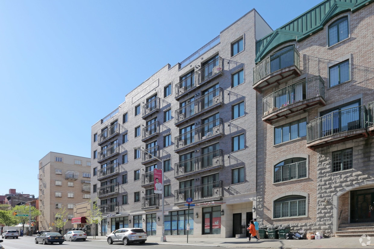
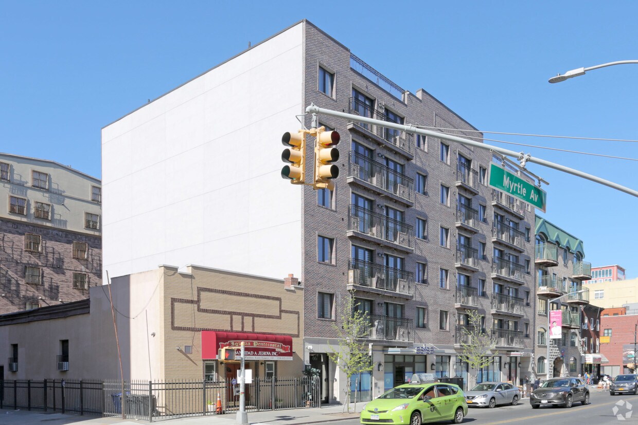

Discover your new home at 667 Myrtle Ave. This community is located in the Bedford Stuyvesant area of Brooklyn. The leasing staff is eager to show you our community. Your new home awaits you at 667 Myrtle Ave. Contact us or stop by the leasing office to learn more about our community.
667 Myrtle Ave is an apartment community located in Kings County and the 11205 ZIP Code. This area is served by the New York City Geographic District #14 attendance zone.
Laundry Facilities
24 Hour Access
Storage Space
Individual Locking Bedrooms
Bedford-Stuyvesant, often shortened to Bed-Stuy, sits in north central Brooklyn, touting plenty of classic brownstones along tree-lined streets. Bed-Stuy is revered for its historic architecture, containing one of the highest concentrations of Victorian properties in all of New York City.
Residents enjoy a strong sense of community in Bed-Stuy along with an array of diverse eateries, cafes, and bodegas. Herbert Von King Park lies at the center of the neighborhood, exuding a lively town-square atmosphere with an outdoor amphitheater, Cultural Arts Center, and athletic facilities. Convenience to public transportation and I-278 makes commuting and traveling from Bed-Stuy a breeze.
Learn more about living in Bedford-Stuyvesant| Colleges & Universities | Distance | ||
|---|---|---|---|
| Colleges & Universities | Distance | ||
| Walk: | 12 min | 0.6 mi | |
| Walk: | 15 min | 0.8 mi | |
| Drive: | 4 min | 1.5 mi | |
| Drive: | 6 min | 2.3 mi |


Transportation options available in Brooklyn include Myrtle-Willoughby Avenues, located 0.5 mile from 667 Myrtle Ave. 667 Myrtle Ave is near LaGuardia, located 8.5 miles or 16 minutes away, and John F Kennedy International, located 13.1 miles or 24 minutes away.
| Transit / Subway | Distance | ||
|---|---|---|---|
| Transit / Subway | Distance | ||
|
|
Walk: | 8 min | 0.5 mi |
|
|
Walk: | 9 min | 0.5 mi |
|
|
Walk: | 10 min | 0.6 mi |
|
|
Walk: | 14 min | 0.8 mi |
|
|
Walk: | 17 min | 0.9 mi |
| Commuter Rail | Distance | ||
|---|---|---|---|
| Commuter Rail | Distance | ||
|
|
Drive: | 4 min | 1.5 mi |
|
|
Drive: | 5 min | 2.0 mi |
|
|
Drive: | 9 min | 3.6 mi |
|
|
Drive: | 11 min | 4.2 mi |
|
|
Drive: | 11 min | 4.5 mi |
| Airports | Distance | ||
|---|---|---|---|
| Airports | Distance | ||
|
LaGuardia
|
Drive: | 16 min | 8.5 mi |
|
John F Kennedy International
|
Drive: | 24 min | 13.1 mi |
Time and distance from 667 Myrtle Ave.
| Shopping Centers | Distance | ||
|---|---|---|---|
| Shopping Centers | Distance | ||
| Drive: | 4 min | 1.6 mi | |
| Drive: | 5 min | 1.7 mi | |
| Drive: | 5 min | 1.9 mi |
| Parks and Recreation | Distance | ||
|---|---|---|---|
| Parks and Recreation | Distance | ||
|
Hattie Carthan Garden
|
Walk: | 14 min | 0.8 mi |
|
Crispus Attucks Playground
|
Drive: | 3 min | 1.2 mi |
|
Commodore Barry Park
|
Drive: | 3 min | 1.3 mi |
|
Sternberg Park
|
Drive: | 4 min | 1.3 mi |
|
Fort Greene Park
|
Drive: | 4 min | 1.4 mi |
| Hospitals | Distance | ||
|---|---|---|---|
| Hospitals | Distance | ||
| Drive: | 3 min | 1.2 mi | |
| Drive: | 4 min | 1.4 mi | |
| Drive: | 7 min | 2.2 mi |
| Military Bases | Distance | ||
|---|---|---|---|
| Military Bases | Distance | ||
| Drive: | 15 min | 5.7 mi | |
| Drive: | 19 min | 10.1 mi |
What Are Walk Score®, Transit Score®, and Bike Score® Ratings?
Walk Score® measures the walkability of any address. Transit Score® measures access to public transit. Bike Score® measures the bikeability of any address.
What is a Sound Score Rating?
A Sound Score Rating aggregates noise caused by vehicle traffic, airplane traffic and local sources


