
$850
/ Month
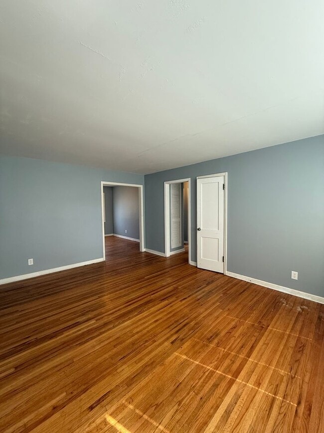
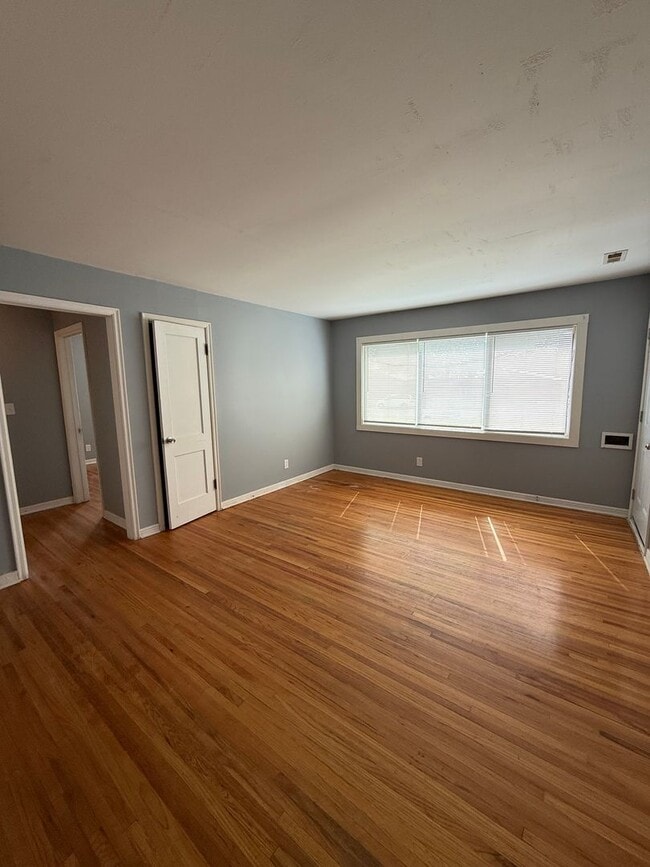
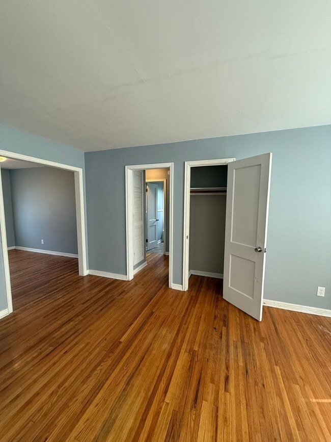
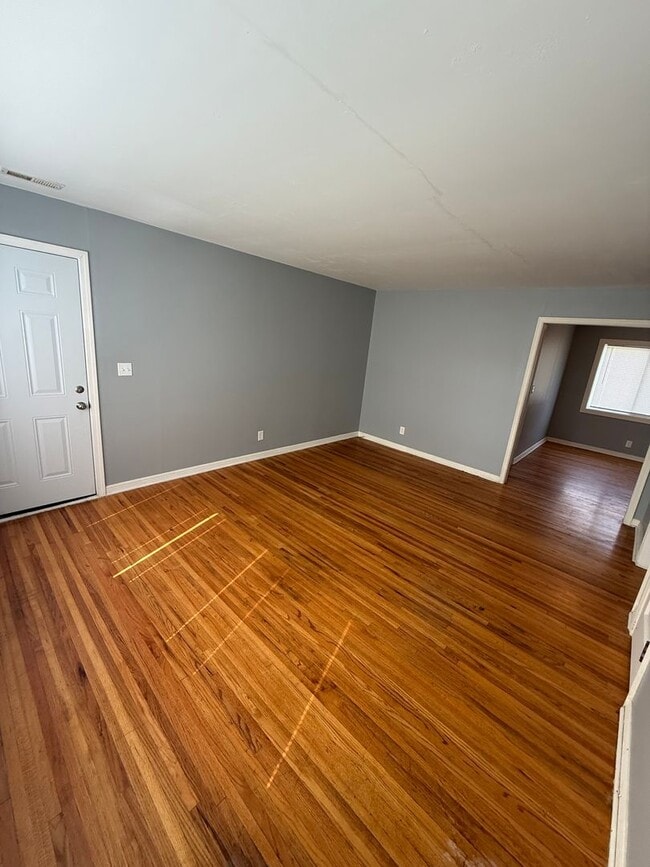
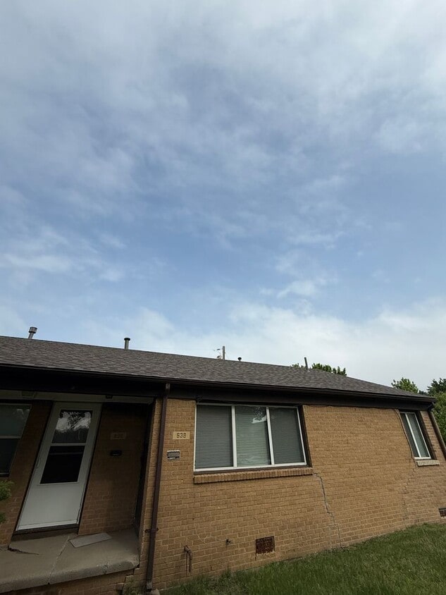
638 S Woodlawn Blvd Unit 638 S Woodlawn Blvd
Wichita, KS 67218
Favorites
316-648-4866
-
Bedrooms
2
-
Bathrooms
1
-
Square Feet
900 sq ft
-
Available
Available Now
638 S Woodlawn Blvd Unit 638 S Woodlawn Blvd

Favorites
Contact
- Listed by Home-N-Harth, Inc. | Home-N-Harth, Inc.
- Phone Number
- Contact
Location
Get Directions
Just south of Eastborough and only five miles east of the city center, Eastridge is a compact neighborhood comprised of quaint homes and charming, tree-lined streets. Families are flocking to this part of Wichita thanks to its abundant space and plentiful schools, and Eastridge provides all that families are looking for.
In the southern part of the neighborhood you’ll find Cottonwood Park and Boston Park, two conveniently-located green spaces that provide well-maintained recreation space for locals and their pets. East Kellogg Ave., the neighborhood’s northern border, holds a number of restaurants and shopping centers, including the upscale Towne East Square, which offers some of the most popular retailers in the country. With a nexus of Interstates so close, all of Wichita and the Kansas are at your disposal.
Learn more about living in Eastridge
Education
| Colleges & Universities | Distance | ||
|---|---|---|---|
| Colleges & Universities | Distance | ||
| Drive: | 10 min | 5.3 mi | |
| Drive: | 11 min | 6.7 mi | |
| Drive: | 11 min | 7.1 mi | |
| Drive: | 30 min | 25.6 mi |
638 S Woodlawn Blvd Unit 638 S Woodlawn Blvd is within 10 minutes or 5.3 miles from Wichita State University. It is also near Friends University and Newman University.
Getting Around
 What do Walkability, Transit, Drivability, and Bikeability mean?
Walkability measures the walking distance to day-to-day needs.
Transit measures access to public transportation.
Drivability measures congestion, parking availability, and access to major roads.
Bikeability measures the suitability for cycling.
How It Works
What do Walkability, Transit, Drivability, and Bikeability mean?
Walkability measures the walking distance to day-to-day needs.
Transit measures access to public transportation.
Drivability measures congestion, parking availability, and access to major roads.
Bikeability measures the suitability for cycling.
How It Works
Fairly Walkable
Walkability
50
/ 100
Limited Public Transit
Transit
20
/ 100
Exceptionally Drivable
Drivability
90
/ 100
Fairly Bikeable
Bikeability
50
/ 100
Scores provided by
Active
Soundscore™
72
/ 100
Traffic
BusyAirport
ActiveBusinesses
CalmScores provided by
HowLoud What is a Sound Score Rating? A Sound Score Rating aggregates noise caused by vehicle traffic, airplane traffic and local sources. How It WorksYou May Also Like
Similar Rentals Nearby


638 S Woodlawn Blvd
Wichita, KS 67218