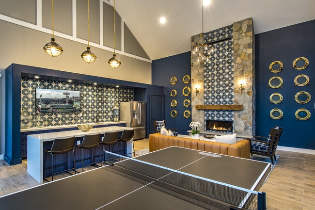
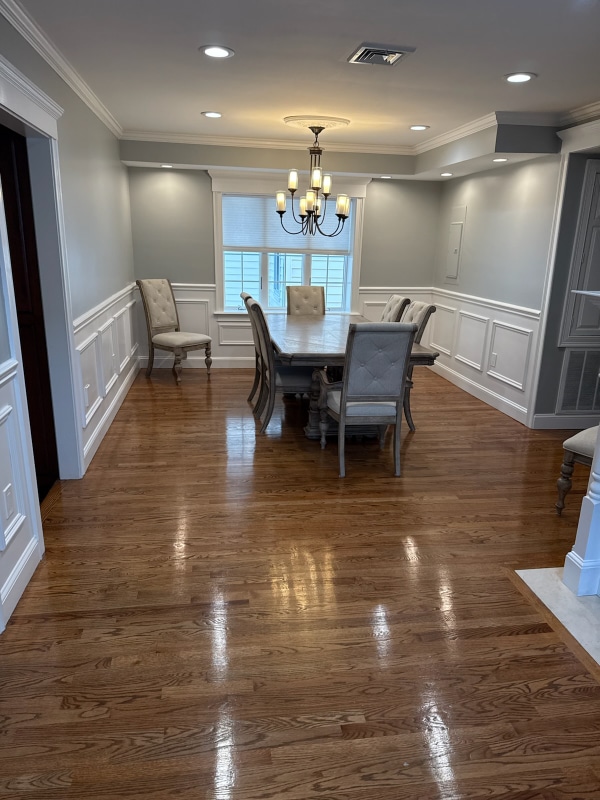
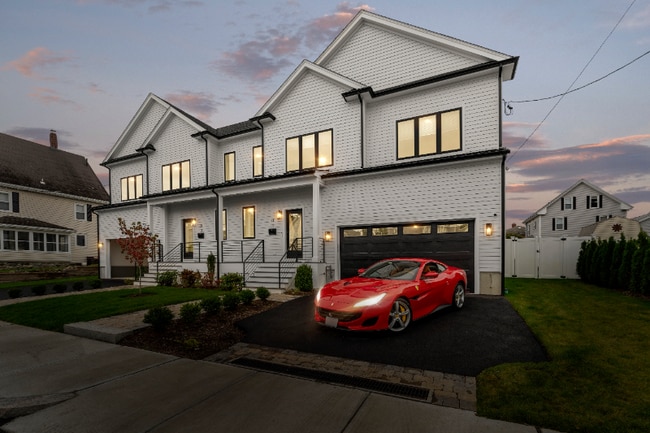
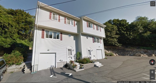
3 Beds, 1 Bath, 1,900 sq ft
6 Litchfield St
Boston, MA 02135
-
Bedrooms
2
-
Bathrooms
1.5
-
Square Feet
1,150 sq ft

About This Home
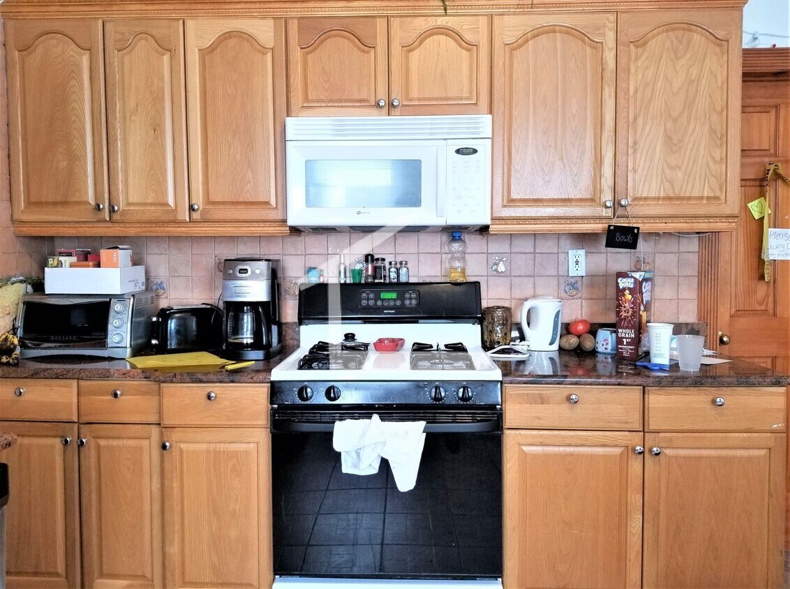
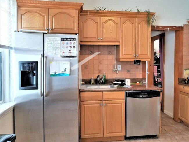
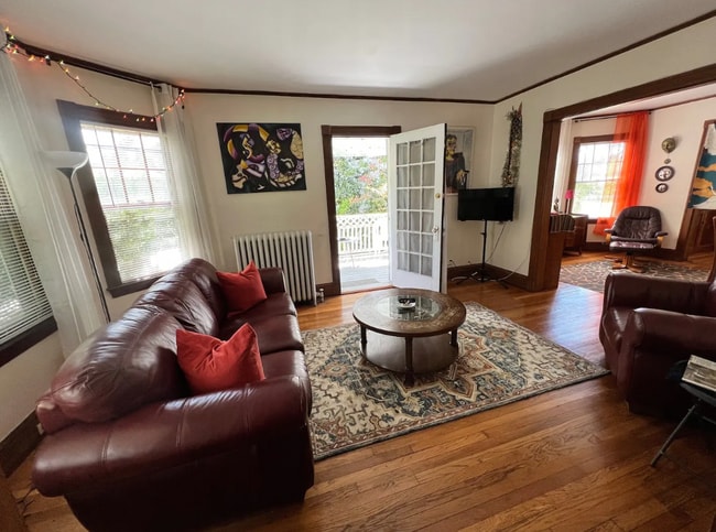
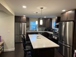
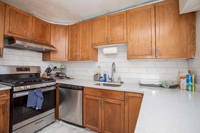
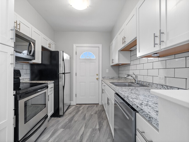
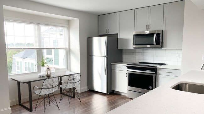
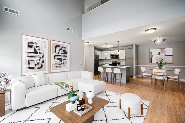
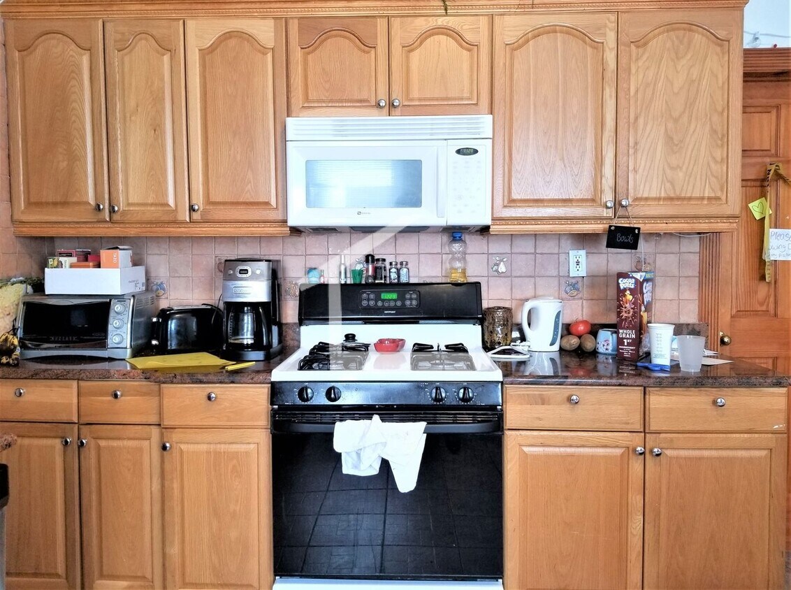
Dishwasher Hardwood Floors Laundry in Building Microwave Modern Bath Modern Kitchen New/Renovated Bath New/Renovated Kitchen Off-street Parking Stainless Steel Appliance(s) Parking For Rent, Outdoor, 2 Spaces Renovated 3 bed, laundry in basement, new floors, new lights, new everything. garage parking and driveway parking available parking available
6 Litchfield St is a townhome located in Suffolk County and the 02135 ZIP Code. This area is served by the Boston Public Schools attendance zone.
Contact
- Listed by Gateway Real Estate (AD) | Gateway Real Estate (AD)
North Allston, also known as Lower Allston, is a peaceful neighborhood just five miles west of downtown Boston. This community is nestled along the Charles River and houses part of Harvard University, particularly Harvard Business School, Harvard Stadium, and the University’s other athletic fields.
In North Allston, you’ll find bike and pedestrian-friendly streets with an abundance of walking, biking, and jogging trails, community parks, and open green space overlooking the river. Enjoy delicious eats and drinks at Article 24, or try an old-school breakfast at a quaint corner diner known as the Breakfast Club. For the freshest baked goods in town, venture over to Swissbäkers on Western Avenue.
North Allston is a wonderful mix of student housing, upscale homes, and amenity-filled apartments and condos available for rent. Explore your options and find your ideal apartment in this quiet, affluent neighborhood near all of Boston’s major attractions.
Learn more about living in North Allston| Colleges & Universities | Distance | ||
|---|---|---|---|
| Colleges & Universities | Distance | ||
| Drive: | 4 min | 1.7 mi | |
| Drive: | 6 min | 1.9 mi | |
| Drive: | 5 min | 2.2 mi | |
| Drive: | 6 min | 2.3 mi |
 The GreatSchools Rating helps parents compare schools within a state based on a variety of school quality indicators and provides a helpful picture of how effectively each school serves all of its students. Ratings are on a scale of 1 (below average) to 10 (above average) and can include test scores, college readiness, academic progress, advanced courses, equity, discipline and attendance data. We also advise parents to visit schools, consider other information on school performance and programs, and consider family needs as part of the school selection process.
View GreatSchools Rating Methodology
Data provided by GreatSchools.org © 2025. All rights reserved.
Transportation options available in Boston include Harvard Avenue Station, located 1.3 miles from 6 Litchfield St. 6 Litchfield St is near General Edward Lawrence Logan International, located 8.4 miles or 15 minutes away.
| Transit / Subway | Distance | ||
|---|---|---|---|
| Transit / Subway | Distance | ||
|
|
Drive: | 3 min | 1.3 mi |
|
|
Drive: | 3 min | 1.3 mi |
|
|
Drive: | 4 min | 1.5 mi |
|
|
Drive: | 4 min | 1.5 mi |
|
|
Drive: | 4 min | 1.5 mi |
| Commuter Rail | Distance | ||
|---|---|---|---|
| Commuter Rail | Distance | ||
|
|
Drive: | 5 min | 2.5 mi |
|
|
Drive: | 6 min | 2.8 mi |
|
|
Drive: | 10 min | 3.9 mi |
|
|
Drive: | 9 min | 4.0 mi |
| Drive: | 9 min | 4.7 mi |
| Airports | Distance | ||
|---|---|---|---|
| Airports | Distance | ||
|
General Edward Lawrence Logan International
|
Drive: | 15 min | 8.4 mi |
Time and distance from 6 Litchfield St.
| Shopping Centers | Distance | ||
|---|---|---|---|
| Shopping Centers | Distance | ||
| Walk: | 8 min | 0.5 mi | |
| Walk: | 10 min | 0.5 mi | |
| Walk: | 15 min | 0.8 mi |
| Parks and Recreation | Distance | ||
|---|---|---|---|
| Parks and Recreation | Distance | ||
|
John Fitzgerald Kennedy National Historic Site
|
Drive: | 4 min | 1.8 mi |
|
Chestnut Hill Reservation
|
Drive: | 6 min | 2.1 mi |
|
Longfellow National Historic Site
|
Drive: | 6 min | 2.5 mi |
|
Coit Observatory
|
Drive: | 7 min | 2.7 mi |
|
Harvard-Smithsonian Center for Astrophysics
|
Drive: | 7 min | 2.8 mi |
| Hospitals | Distance | ||
|---|---|---|---|
| Hospitals | Distance | ||
| Drive: | 3 min | 1.1 mi | |
| Drive: | 4 min | 1.6 mi | |
| Drive: | 4 min | 1.7 mi |
| Military Bases | Distance | ||
|---|---|---|---|
| Military Bases | Distance | ||
| Drive: | 24 min | 12.9 mi | |
| Drive: | 26 min | 14.3 mi |
You May Also Like
Similar Rentals Nearby
-
Total Monthly Price New$3,600Total Monthly PricePrices include all required monthly fees.1 Month LeaseTownhome for Rent
-
Total Monthly Price New$7,500Total Monthly PricePrices include all required monthly fees.12 Month LeaseTownhome for Rent
5 Beds, 5.5 Baths, 2,103 sq ft
-
-
-
Total Monthly Price New2 Beds$2,995+3 Beds$3,000+Total Monthly PricePrices include base rent and required monthly fees. Variable costs based on usage may apply.
-
Total Monthly Price New2 Beds$3,868+Total Monthly PricePrices include base rent and required monthly fees of $15. Variable costs based on usage may apply.
-
Total Monthly Price New2 Beds$2,850+3 Beds$3,875+Total Monthly Price12 Month LeasePrices include all required monthly fees.
-
-
-
What Are Walk Score®, Transit Score®, and Bike Score® Ratings?
Walk Score® measures the walkability of any address. Transit Score® measures access to public transit. Bike Score® measures the bikeability of any address.
What is a Sound Score Rating?
A Sound Score Rating aggregates noise caused by vehicle traffic, airplane traffic and local sources
