
Atlas
385 14th St,
Oakland, CA 94612
Studio - 2 Beds $2,325 - $5,674

Second floor unit is top floor and in the middle of the building so less traffic noise. Fresh paint. Wedgewood stove. PayRange app on washers and dryers. 7 blocks to Rockridge BART. Can see the southern edge of Bushrod Park from the apartment. Bus stop to Cal is across the street. Walk to Casual Carpool, Trader Joes, Berkeley Bowl and Farmers' Market. Walk Score 93.
5939 Telegraph Ave is an apartment community located in Alameda County and the 94609 ZIP Code. This area is served by the Oakland Unified attendance zone.
Laundry Facilities
Controlled Access
Recycling
Gated
High Speed Internet Access
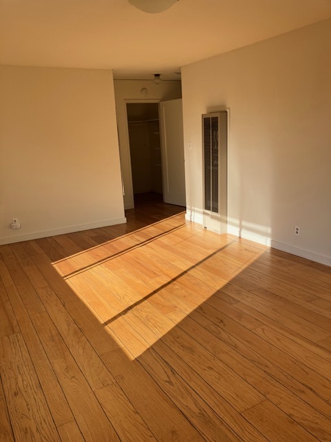
Hardwood Floors
Refrigerator
Tub/Shower
Upper Telegraph is a centrally located neighborhood in the city of Oakland. Upper Telegraph is home to numerous local staples like Bushrod Park and Community Garden, healthcare centers, and a busy commercial strip along Telegraph Avenue. Locals can easily shop in the neighborhood or head less than 10 miles south to Downtown Oakland for places like Jack London Square and the Uptown District. More great features offered by Downtown Oakland include scenic sites like the Bonsai Garden and Lake Merritt. While Downtown Oakland is Upper Telegraph’s southern neighbor, the city of Berkeley is the neighborhood’s northern neighbor. Downtown Berkeley, the University of California-Berkley, and several national and state parks sit just north of Upper Telegraph.
Learn more about living in Upper Telegraph| Colleges & Universities | Distance | ||
|---|---|---|---|
| Colleges & Universities | Distance | ||
| Drive: | 5 min | 1.9 mi | |
| Drive: | 7 min | 2.2 mi | |
| Drive: | 9 min | 2.8 mi | |
| Drive: | 7 min | 3.9 mi |


Transportation options available in Oakland include Ashby Station, located 1.1 miles from 5939 Telegraph Ave. 5939 Telegraph Ave is near Metro Oakland International, located 13.0 miles or 19 minutes away, and San Francisco International, located 23.2 miles or 36 minutes away.
| Transit / Subway | Distance | ||
|---|---|---|---|
| Transit / Subway | Distance | ||
|
|
Drive: | 3 min | 1.1 mi |
|
|
Drive: | 4 min | 1.3 mi |
|
|
Drive: | 3 min | 1.6 mi |
|
|
Drive: | 7 min | 2.2 mi |
|
|
Drive: | 6 min | 3.5 mi |
| Commuter Rail | Distance | ||
|---|---|---|---|
| Commuter Rail | Distance | ||
|
|
Drive: | 6 min | 2.5 mi |
|
|
Drive: | 11 min | 3.7 mi |
|
|
Drive: | 8 min | 4.7 mi |
| Drive: | 17 min | 10.8 mi | |
| Drive: | 18 min | 11.7 mi |
| Airports | Distance | ||
|---|---|---|---|
| Airports | Distance | ||
|
Metro Oakland International
|
Drive: | 19 min | 13.0 mi |
|
San Francisco International
|
Drive: | 36 min | 23.2 mi |
Time and distance from 5939 Telegraph Ave.
| Shopping Centers | Distance | ||
|---|---|---|---|
| Shopping Centers | Distance | ||
| Walk: | 12 min | 0.6 mi | |
| Walk: | 13 min | 0.7 mi | |
| Walk: | 13 min | 0.7 mi |
| Parks and Recreation | Distance | ||
|---|---|---|---|
| Parks and Recreation | Distance | ||
|
Willard Park
|
Drive: | 3 min | 1.2 mi |
|
People's Park
|
Drive: | 5 min | 1.6 mi |
|
Habitot Children's Museum
|
Drive: | 6 min | 2.0 mi |
|
Temescal Regional Park
|
Drive: | 4 min | 2.0 mi |
|
Essig Museum of Entomology
|
Drive: | 8 min | 2.4 mi |
| Hospitals | Distance | ||
|---|---|---|---|
| Hospitals | Distance | ||
| Walk: | 16 min | 0.8 mi | |
| Walk: | 16 min | 0.9 mi | |
| Drive: | 4 min | 1.8 mi |
| Military Bases | Distance | ||
|---|---|---|---|
| Military Bases | Distance | ||
| Drive: | 15 min | 6.4 mi | |
| Drive: | 16 min | 7.4 mi |
What Are Walk Score®, Transit Score®, and Bike Score® Ratings?
Walk Score® measures the walkability of any address. Transit Score® measures access to public transit. Bike Score® measures the bikeability of any address.
What is a Sound Score Rating?
A Sound Score Rating aggregates noise caused by vehicle traffic, airplane traffic and local sources

5939 Telegraph Ave
Oakland, CA 94609


