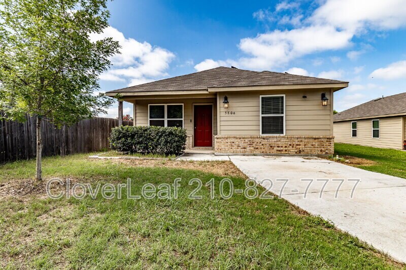
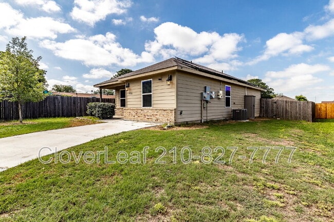
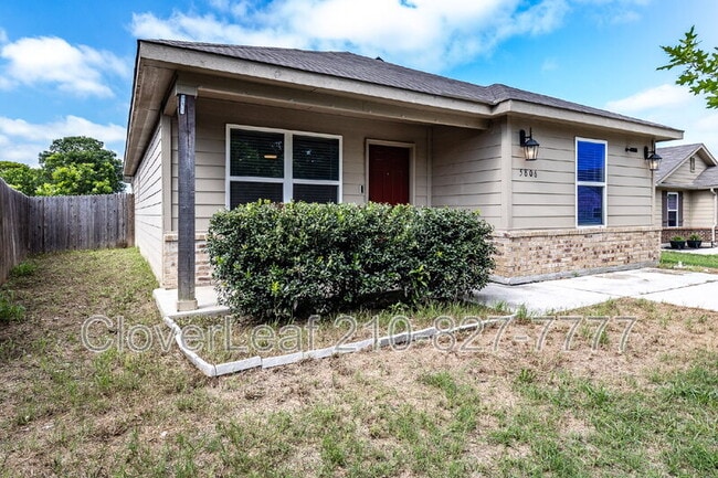
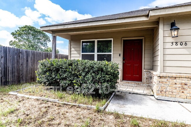
$1,497 / Month

5806 Machaela Trace

,

San Antonio, TX 78242

Share Listing
Favorites
210-940-1275
  • Bedrooms

    3

  • Bathrooms

    2

  • Square Feet

    1,322 sq ft

  • Available

    Available Now

5806 Machaela Trace
Share Listing
Favorites

About This Home

$1,497 deposit, Available Now

This 3-bedroom, 2-bath home offers 1,322 sq ft of well-planned living space with an open-concept design that keeps the main living, kitchen, and dining areas connected for everyday ease. The interior features a practical mix of tile and carpet flooring, central A/C and heating, and a dedicated laundry area with washer/dryer hookups. The layout is designed to maximize usable space, making it easy to furnish and maintain. A one-car attached garage adds convenience, while the private backyard provides a manageable outdoor area to relax or entertain. Positioned in a newer South San Antonio community with quick access to major roads and nearby employers, this home supports a straightforward, low-maintenance lifestyle. Beware of rental scams! Verify listings for accuracy, don't wire any money, and apply through official channels only, not on 3rd-party websites.

5806 Machaela Trace is a house located in Bexar County and the 78242 ZIP Code. This area is served by the South San Antonio Independent School District attendance zone.

* Price shown is base rent. Excludes user-selected optional fees and variable or usage-based fees and required charges due at or prior to move-in or at move-out. Price, availability, fees, and any applicable rent special are subject to change without notice.
* Square footage definitions vary. Displayed square footage is approximate.

Fees and Policies

The fees listed below are community-provided and may exclude utilities or add-ons. All payments are made directly to the property and are non-refundable unless otherwise specified.

  • Dogs Allowed
  • Fees not specified
  • Cats Allowed
  • Fees not specified

Contact

  • Listed by CloverLeaf Property Management
  • Phone Number
  • Contact
| Edit

Under 30 minutes

Commute Time is calculated at rush hour.
Neighborhood

Framed by the Cleto Rodriguez Freeway and the PanAm Expressway, South San Antonio includes Palo Alto College on its southeast side and Lackland Air Force Base on its northwest side. With less than 15 minutes to downtown and easy access to major roadways, South San Antonio is a great option for students, military personnel, and commuters. In addition to Palo Alto College, students have access to Texas A&M University San Antonio and Baptist University of the Americas.

Those who enjoy thrifting will appreciate Traders Village San Antonio, situated on the southeast side of the neighborhood. South San Antonio is home to Pearsall Park, a 505-acre park with hiking trails, a playground, the Pearsall Water-Skate Park, and Pearsall Dog Park. Shops and restaurants are scattered throughout the neighborhood with a heavy concentration along Military Drive.

Learn more about living in South San Antonio 
Education
Colleges & Universities Distance
Drive: 13 min 6.1 mi
Drive: 13 min 8.1 mi
Drive: 17 min 9.3 mi
Drive: 17 min 10.3 mi
5806 Machaela Trace is within 13 minutes or 6.1 miles from St. Philip's College, SWC. It is also near Palo Alto College and Our Lady of the Lake Univ..
Schools
Public Elementary School
Grades PK-5
298 Students
Attendance Zone
Public Elementary School
Grades PK-5
510 Students
Attendance Zone
Public Middle School
Grades 6-8
432 Students
Attendance Zone
Grades 9-12
521 Students
Attendance Zone
Private Elementary, Middle & High School
Grades PK-12
64 Students
Nearby
Transportation

5806 Machaela Trace is near San Antonio International, located 19.9 miles or 25 minutes away.

Commuter Rail Distance
Drive: 21 min 11.7 mi
Airports Distance
Airports Distance
San Antonio International
Drive: 25 min 19.9 mi
Getting Around
Fairly Walkable
Walkability
40 / 100
Limited Public Transit
Transit
30 / 100
Exceptionally Drivable
Drivability
90 / 100
Fairly Bikeable
Bikeability
40 / 100

Scores provided by

What do Walkability, Transit, Drivability, and Bikeability mean? Walkability measures the walking distance to day-to-day needs. Transit measures access to public transportation. Drivability measures congestion, parking availability, and access to major roads. Bikeability measures the suitability for cycling. How It Works
-
Soundscore
- / 100

Traffic

-

Airport

-

Businesses

-

Scores provided by

HowLoud What is a Sound Score Rating? A Sound Score Rating aggregates noise caused by vehicle traffic, airplane traffic and local sources. How It Works
Points of Interest

Time and distance from 5806 Machaela Trace.

Shopping Centers Distance
Drive: 3 min 1.2 mi
Drive: 3 min 1.4 mi
5806 Machaela Trace has 2 shopping centers within 1.4 miles, which is about a 3-minute drive. The miles and minutes will be for the farthest away property.
Parks and Recreation Distance
Medina Base Road Park
Drive: 3 min 1.4 mi
Millers Pond Park
Drive: 3 min 1.5 mi
Camargo Park
Drive: 9 min 4.7 mi
Pearsall Park
Drive: 16 min 5.4 mi
Normoyle Park
Drive: 13 min 7.0 mi
5806 Machaela Trace has 5 parks within 7.0 miles, including Medina Base Road Park, Millers Pond Park, and Pearsall Park.
Hospitals Distance
Hospitals Distance
Drive: 10 min 5.3 mi
Drive: 20 min 10.4 mi
Drive: 18 min 10.6 mi
5806 Machaela Trace has 3 hospitals within 10.6 miles, the nearest is Southwest General Hospital which is 5.3 miles away and a 10 minute drive.
Military Bases Distance
Drive: 8 min 3.5 mi
Drive: 28 min 15.9 mi
Drive: 29 min 20.3 mi
5806 Machaela Trace has 3 military bases within 20.3 miles, the nearest is Lackland Air Force Base which is 3.5 miles away and a 8 minute drive.

You May Also Like

Similar Rentals Nearby