$1,695 / Month
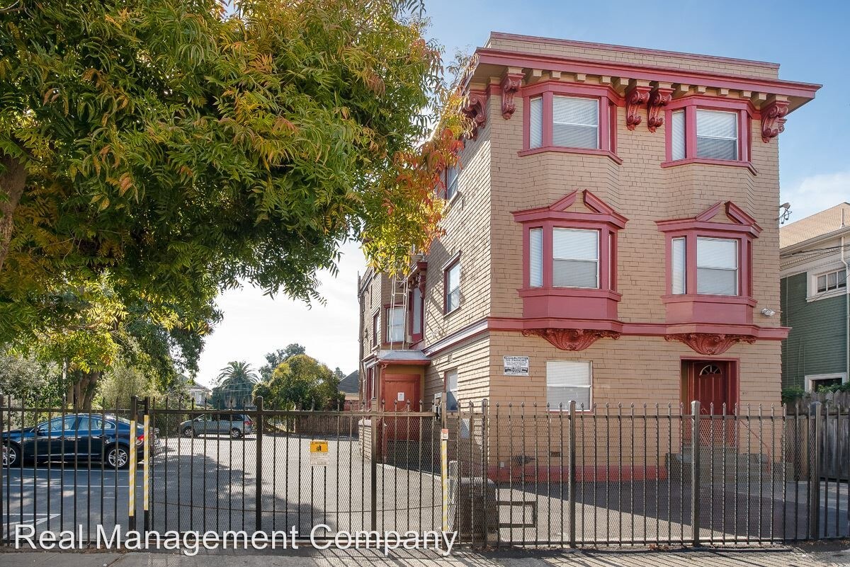
539 33rd St
Oakland, CA 94609
2 Weeks Ago
Favorites
539 33rd St

Favorites
Check Back Soon for Upcoming Availability
| Beds | Baths | Average SF |
|---|---|---|
| Studio Studio 0 Br | 1 Bath 1 Bath 1 Ba | 430 SF |
Fees and Policies
The fees below are based on community-supplied data and may exclude additional fees and utilities.
About This Property
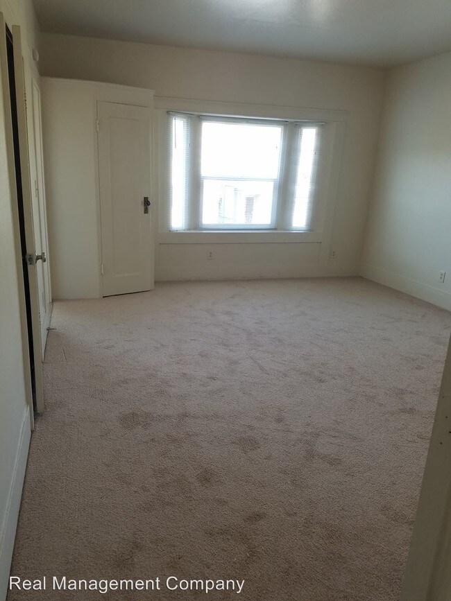
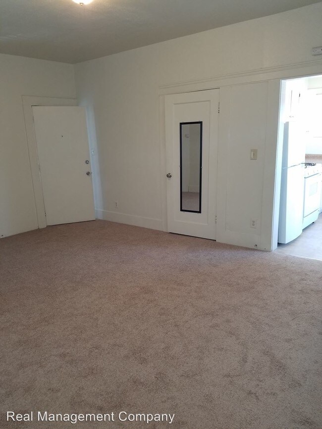
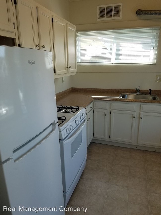
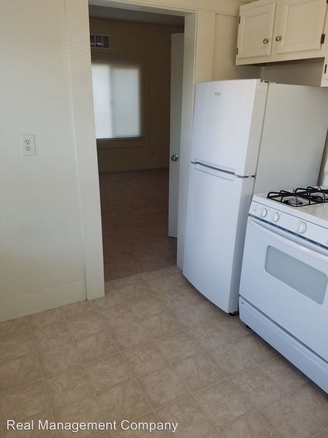
(415) 821-3167 - Bright Top Floor Studio Apt off Telegraph Avenue - Welcome to 539 33rd Street Oakland, a nine-unit classical building nestled between Temescal Uptown and Pill Hill off Telegraph. This studio apartment on the top floor facing the street offers terrific light. A secure gated-entry parking for one car also included. This apartment has a walk score of 85 and a bike score of 92! Nearby parks include Marcus Garvey Park, Durant Mini Park and Mosswood Park. Location Highlights: • 14 Minute walk to MacArthur BART and 21 Minute walk to 19th St BART • Half mile to new Sprouts Farmers Market • One mile to Whole Foods Market with Lake Merritt a few steps further • 5 Minute walk to Sutter Health-Alta Bates Summit Medical Center • 14 Minute walk to Kaiser Permanente on Broadway • Easy access to all the popular bars, restaurants and venues of Uptown Features include: • Recently installed double pane windows that provide additional heat & sound insulation • Secured gated door & car entry w/ remote control • Includes 1 car parking • Eat in gas kitchen • Wall to wall carpet throughout Lease information: • Landlord pays water & garbage, tenant pays gas & electric • 12 month lease • No pets, no smoking, no laundry on site Open House Schedule: Sunday October 19th - 12:30-1pm No Pets Allowed (RLNE1947396) Other Amenities: Other (one car parking included). Pet policies: No Dogs Allowed, No Cats Allowed.
539 33rd St is an apartment community located in Alameda County and the 94609 ZIP Code.
Unique Features
- No Dogs Allowed, No Cats Allowed, Amenities - one car parking included
Location
Get Directions
Pill Hill is a small neighborhood located about a mile north of Downtown Oakland. Various medical facilities are located in the neighborhood, hence the name. Along with pharmacies and doctor’s offices, Pill Hill is home to the Alta Bates Summit Medical Center. Pill Hill has apartments and condos available for rent. The iconic Telegraph Avenue runs through Pill Hill so residents have access to cafes, coffee shops, and grocery stores within walking distance, but many residents take advantage of the neighborhood’s central location by traveling into neighboring communities for more shopping, dining, and entertainment options. Explore eateries on Piedmont Avenue, or head to Adams Point to access Lake Merritt. Pill Hill is nestled between Interstate 580 and 980 so it’s a great choice for anyone who wants to be able to travel across the Bay Area with ease into other major cities like Berkeley and San Francisco.
Learn more about living in Pill HillBelow are rent ranges for similar nearby apartments
Amenities
- No Dogs Allowed, No Cats Allowed, Amenities - one car parking included
Education
| Colleges & Universities | Distance | ||
|---|---|---|---|
| Colleges & Universities | Distance | ||
| Walk: | 5 min | 0.3 mi | |
| Drive: | 5 min | 1.6 mi | |
| Drive: | 7 min | 3.0 mi | |
| Drive: | 9 min | 3.5 mi |
539 33rd St is within 5 minutes or 0.3 mile from Samuel Merritt University. It is also near Lincoln University, Oakland and Laney College.
Transportation options available in Oakland include 19Th St Oakland Station, located 1.2 miles from 539 33rd St. 539 33rd St is near Metro Oakland International, located 10.7 miles or 18 minutes away, and San Francisco International, located 22.7 miles or 35 minutes away.
| Transit / Subway | Distance | ||
|---|---|---|---|
| Transit / Subway | Distance | ||
|
|
Drive: | 3 min | 1.2 mi |
|
|
Drive: | 4 min | 1.4 mi |
|
|
Drive: | 4 min | 1.4 mi |
|
|
Drive: | 3 min | 1.5 mi |
|
|
Drive: | 6 min | 2.9 mi |
| Commuter Rail | Distance | ||
|---|---|---|---|
| Commuter Rail | Distance | ||
|
|
Drive: | 6 min | 2.3 mi |
|
|
Drive: | 6 min | 3.3 mi |
|
|
Drive: | 9 min | 5.3 mi |
| Drive: | 17 min | 10.3 mi | |
| Drive: | 17 min | 10.4 mi |
| Airports | Distance | ||
|---|---|---|---|
| Airports | Distance | ||
|
Metro Oakland International
|
Drive: | 18 min | 10.7 mi |
|
San Francisco International
|
Drive: | 35 min | 22.7 mi |
Time and distance from 539 33rd St.
| Shopping Centers | Distance | ||
|---|---|---|---|
| Shopping Centers | Distance | ||
| Walk: | 10 min | 0.5 mi | |
| Walk: | 12 min | 0.7 mi | |
| Walk: | 17 min | 0.9 mi |
539 33rd St has 3 shopping centers within 0.9 mile, which is about a 17-minute walk. The miles and minutes will be for the farthest away property.
| Parks and Recreation | Distance | ||
|---|---|---|---|
| Parks and Recreation | Distance | ||
|
Lakeside Park Garden Center
|
Drive: | 3 min | 1.3 mi |
|
Lakeside Park
|
Drive: | 4 min | 1.6 mi |
|
Rotary Nature Center
|
Drive: | 5 min | 1.7 mi |
|
Morcom Rose Garden
|
Drive: | 4 min | 1.7 mi |
|
Juan Bautista de Anza National Historic Trail
|
Drive: | 5 min | 1.9 mi |
539 33rd St has 5 parks within 1.9 miles, including Lakeside Park Garden Center, Morcom Rose Garden, and Rotary Nature Center.
| Hospitals | Distance | ||
|---|---|---|---|
| Hospitals | Distance | ||
| Walk: | 5 min | 0.3 mi | |
| Walk: | 14 min | 0.8 mi | |
| Drive: | 3 min | 1.3 mi |
539 33rd St has 3 hospitals within 1.3 miles, the nearest is Alta Bates Summit Medical Center which is 0.3 mile away and a 5 minute walk.
| Military Bases | Distance | ||
|---|---|---|---|
| Military Bases | Distance | ||
| Drive: | 13 min | 4.7 mi | |
| Drive: | 13 min | 5.0 mi |
539 33rd St is 4.7 miles from Oakland Army Base, and is convenient to other military bases, including Alameda/US Naval Air Station Alameda.
You May Also Like
Similar Rentals Nearby


What Are Walk Score®, Transit Score®, and Bike Score® Ratings?
Walk Score® measures the walkability of any address. Transit Score® measures access to public transit. Bike Score® measures the bikeability of any address.
What is a Sound Score Rating?
A Sound Score Rating aggregates noise caused by vehicle traffic, airplane traffic and local sources

539 33rd St
Oakland, CA 94609