$1,250
/ Month
520 Lincoln St Unit B
Oxford, PA 19363
Favorites
520 Lincoln St Unit B

Favorites
Check Back Soon for Upcoming Availability
| Beds | Baths | Average SF |
|---|---|---|
| 1 Bedroom 1 Bedroom 1 Br | 1 Bath 1 Bath 1 Ba | 3,135 SF |
About This Property
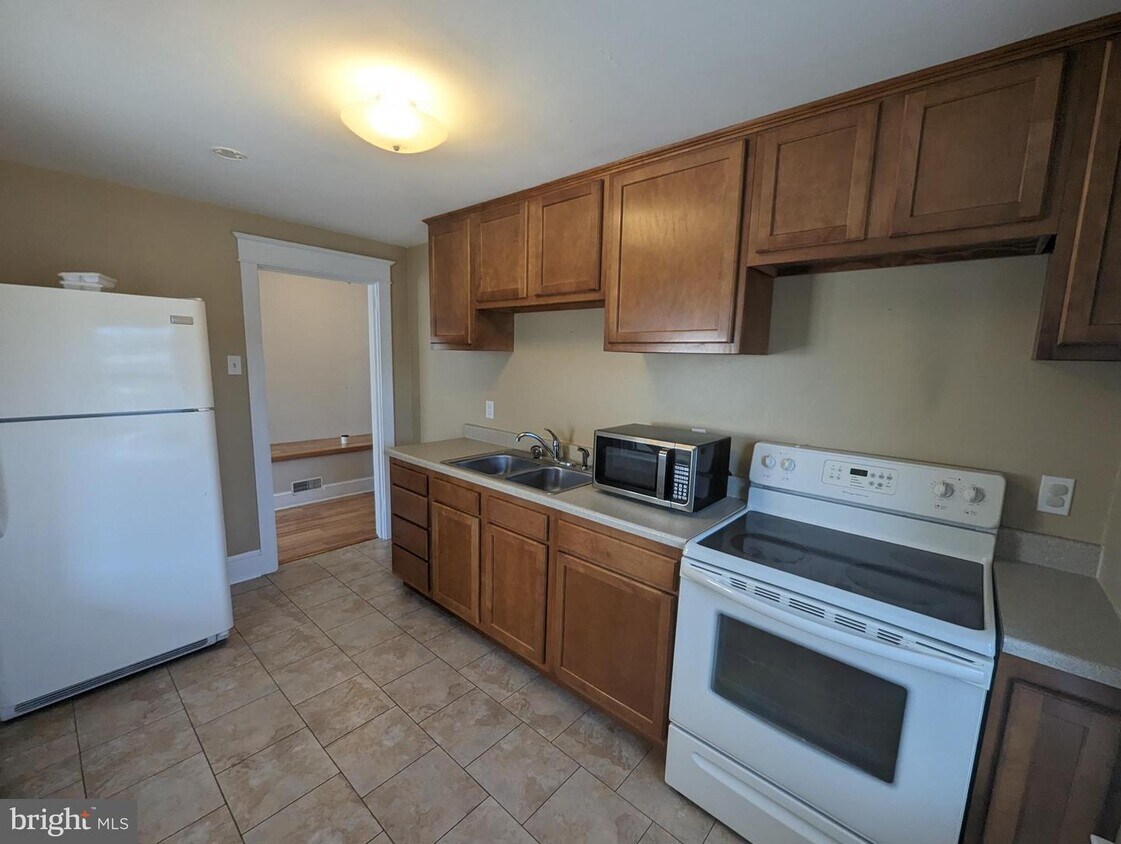
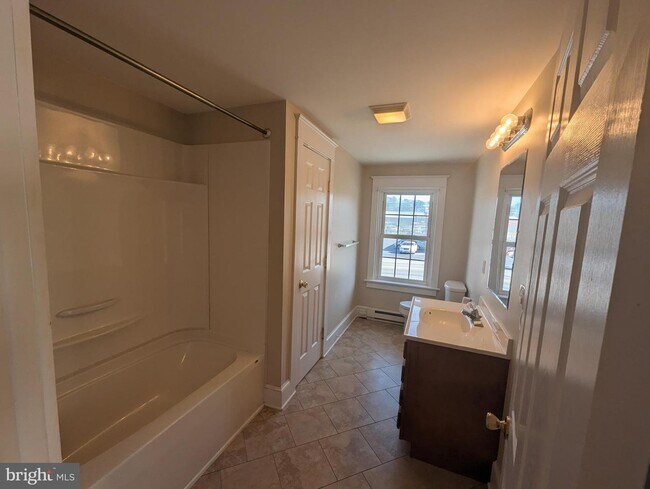
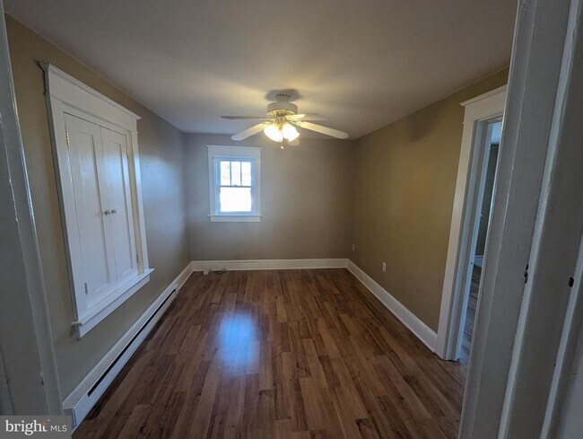
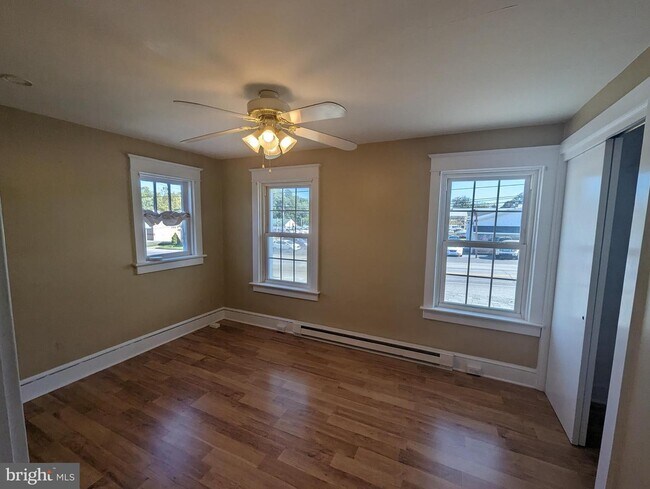
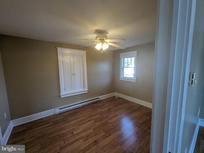
2nd Floor one bedroom apartment. Laminate flooring throughout. All utilities included. Tenant responsible for cable/internet and rental insurance. Credit and background check required. No smoking. Pets on a case-by-case basis.
520 Lincoln St is an apartment community located in Chester County and the 19363 ZIP Code.
520 Lincoln St,
Oxford,
PA
19363
Oxford is quiet suburb of southeast Pennsylvania sitting about 55 miles west of Philadelphia and just 30 miles west of Wilmington, Delaware. Though Oxford is easily commutable to other major metro areas, many residents appreciate the secluded feel that this suburb offers. The apartments are very affordable, and the area is family-friendly. Many local businesses reside in the heart of town, from restaurants and cafes to specialty shops and services. Supermarkets, public schools, and scenic farmland are all around this suburb. Residents of Oxford enjoy easy access to Nottingham County Park, Plumpton Park Zoo, and White Clay Creek State Park.
Learn more about living in Oxford
Education
| Colleges & Universities | Distance | ||
|---|---|---|---|
| Colleges & Universities | Distance | ||
| Drive: | 6 min | 3.0 mi | |
| Drive: | 29 min | 16.8 mi | |
| Drive: | 34 min | 20.6 mi | |
| Drive: | 45 min | 26.7 mi |
520 Lincoln St Unit B is within 6 minutes or 3.0 miles from Lincoln University. It is also near University of Delaware and Goldey-Beacom College.
Walkability Near 520 Lincoln St Oxford, PA 19363
Getting Around
 What do Walkability, Transit, Drivability, and Bikeability mean?
Walkability measures the walking distance to day-to-day needs.
Transit measures access to public transportation.
Drivability measures congestion, parking availability, and access to major roads.
Bikeability measures the suitability for cycling.
How It Works
What do Walkability, Transit, Drivability, and Bikeability mean?
Walkability measures the walking distance to day-to-day needs.
Transit measures access to public transportation.
Drivability measures congestion, parking availability, and access to major roads.
Bikeability measures the suitability for cycling.
How It Works
Fairly Walkable
Walkability
50
/ 100
Exceptionally Drivable
Drivability
90
/ 100
Somewhat Bikeable
Bikeability
20
/ 100
Scores provided by
-
Soundscore™
-
/ 100
Traffic
-Airport
-Businesses
-Scores provided by
HowLoud What is a Sound Score Rating? A Sound Score Rating aggregates noise caused by vehicle traffic, airplane traffic and local sources. How It WorksYou May Also Like
Similar Rentals Nearby
-
-
1 Bed$1,606+2 Beds$1,993+3 Beds$2,227+Total Monthly PriceTotal Monthly Price NewPrices include base rent and required monthly fees of $106. Variable costs based on usage may apply.Base Rent:1 Bed$1,499+2 Beds$1,886+3 Beds$2,120+
Pets Allowed Fitness Center Dishwasher Refrigerator In Unit Washer & Dryer Walk-In Closets
-
-
-
-
-
-
-
-


What Are Walk Score®, Transit Score®, and Bike Score® Ratings?
Walk Score® measures the walkability of any address. Transit Score® measures access to public transit. Bike Score® measures the bikeability of any address.
What is a Sound Score Rating?
A Sound Score Rating aggregates noise caused by vehicle traffic, airplane traffic and local sources.

520 Lincoln St
Oxford, PA 19363