

2 Beds
$1,510+
3 Beds
$1,440
4 Beds+
$1,014+
Total Monthly Price
11 Month Lease
Total Monthly Price
New
Prices include required monthly fees of $15.
Base Rent:
2 Beds
$1,495+
3 Beds
$1,425
4 Beds+
$999+
Specials
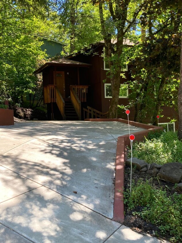
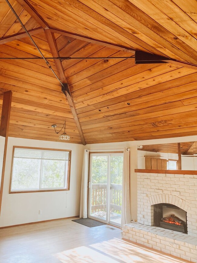
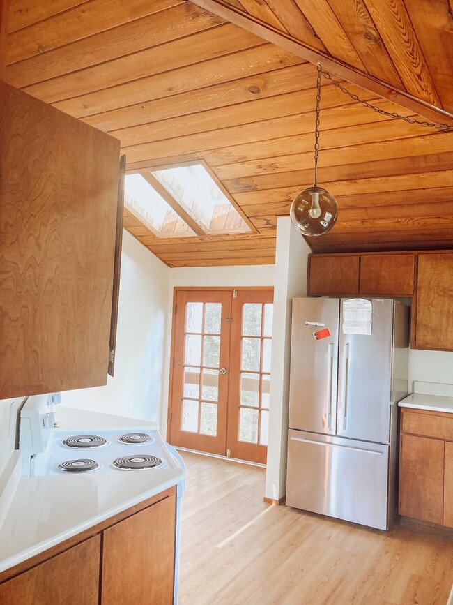
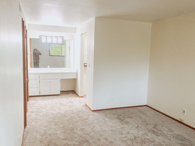
Pets Allowed Fitness Center Dishwasher Refrigerator Kitchen In Unit Washer & Dryer