
The Vitagraph
1277 E 14th St,
Brooklyn, NY 11230
$2,770 - $4,499
1-3 Beds
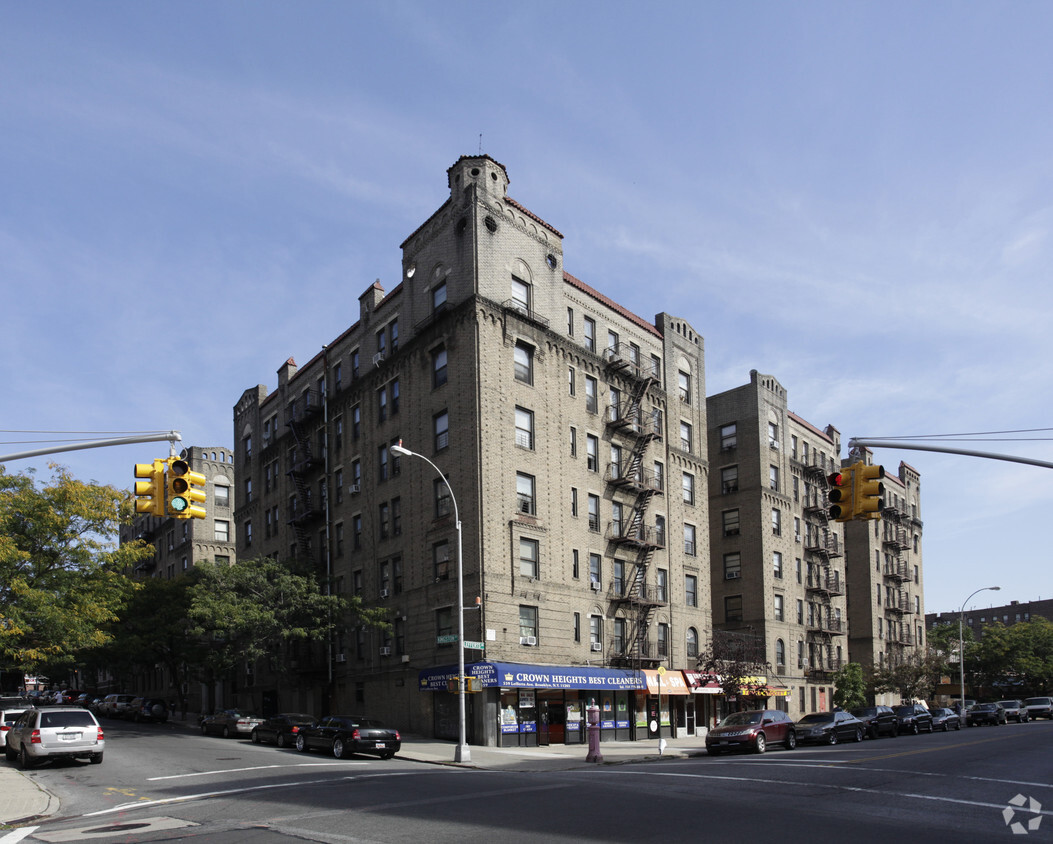
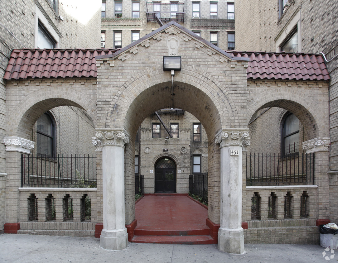
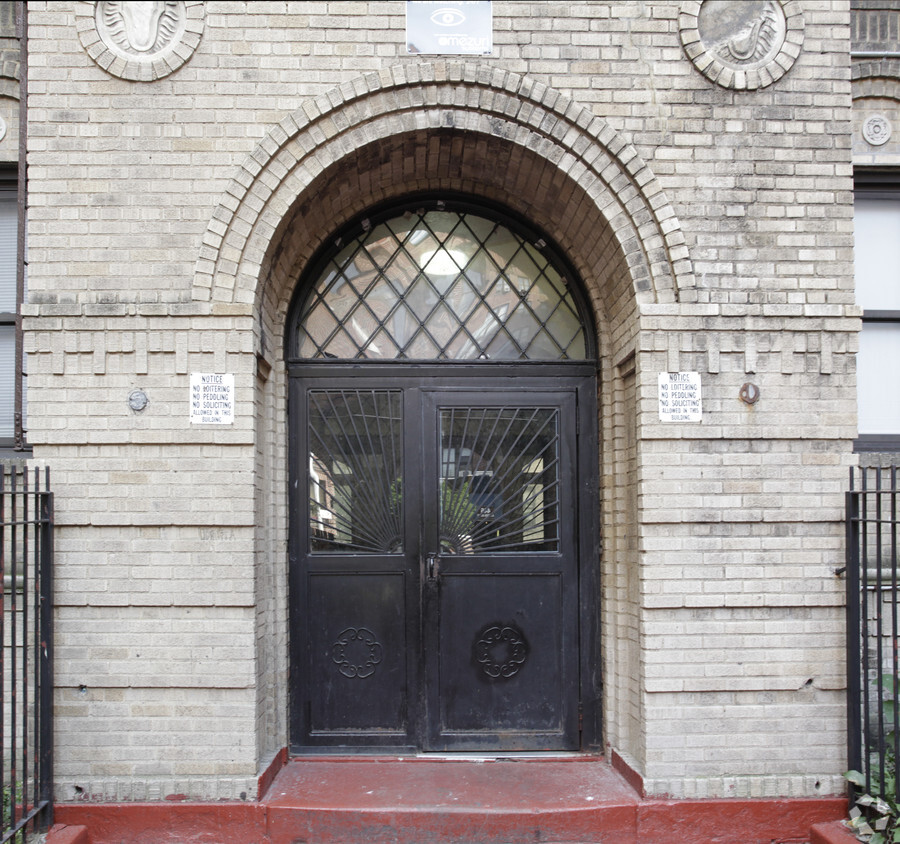
451 Kingston Ave offers a combination of comfort and livability. These apartments are located in Brooklyn on Kingston Ave in the 11225 area. Make a visit to check out the apartment floorplan options. From availability to location, the team of leasing professionals is ready to match you with the perfect new home. Drop by the leasing office to schedule a tour.
451 Kingston Ave is an apartment community located in Kings County and the 11225 ZIP Code. This area is served by the New York City Geographic District #17 attendance zone.
High Speed Internet Access
Refrigerator
Smoke Free
Heating
East Flatbush is a quaint urban neighborhood that remains mainly residential, offering an abundance of attached family homes and apartments for rent. This neighborhood boasts a close-knit community with excellent proximity to major cities, attractions, and amenities. Situated ten miles southeast of Midtown Manhattan and just six miles southeast of Downtown Brooklyn, residents of this district have quick and easy access to some of New York’s liveliest cities.
Numerous subway stations and public bus stops are spread throughout town, so commuting is a breeze. In fact, the subway will take you all the way up to the Bronx! With small businesses and local restaurants around the neighborhood, your everyday conveniences can be taken care of without leaving town. After you find your perfect rental, test your taste buds with local cuisine at popular spots like Suede and Footprints Café.
Learn more about living in East FlatbushCompare neighborhood and city base rent averages by bedroom.
| East Flatbush | Brooklyn, NY | |
|---|---|---|
| Studio | $1,719 | $2,675 |
| 1 Bedroom | $1,713 | $2,996 |
| 2 Bedrooms | $1,833 | $3,926 |
| 3 Bedrooms | $2,512 | $4,867 |
| Colleges & Universities | Distance | ||
|---|---|---|---|
| Colleges & Universities | Distance | ||
| Walk: | 18 min | 1.0 mi | |
| Drive: | 9 min | 2.8 mi | |
| Drive: | 8 min | 3.1 mi | |
| Drive: | 10 min | 3.1 mi |


Transportation options available in Brooklyn include Kingston Avenue, located 0.4 mile from 451 Kingston Ave. 451 Kingston Ave is near John F Kennedy International, located 11.0 miles or 19 minutes away, and LaGuardia, located 11.8 miles or 24 minutes away.
| Transit / Subway | Distance | ||
|---|---|---|---|
| Transit / Subway | Distance | ||
|
|
Walk: | 8 min | 0.4 mi |
|
|
Walk: | 9 min | 0.5 mi |
|
|
Walk: | 14 min | 0.7 mi |
|
|
Walk: | 16 min | 0.8 mi |
|
|
Walk: | 16 min | 0.8 mi |
| Commuter Rail | Distance | ||
|---|---|---|---|
| Commuter Rail | Distance | ||
|
|
Drive: | 6 min | 1.9 mi |
|
|
Drive: | 6 min | 2.7 mi |
|
|
Drive: | 8 min | 2.9 mi |
|
|
Drive: | 19 min | 7.5 mi |
|
|
Drive: | 20 min | 7.8 mi |
| Airports | Distance | ||
|---|---|---|---|
| Airports | Distance | ||
|
John F Kennedy International
|
Drive: | 19 min | 11.0 mi |
|
LaGuardia
|
Drive: | 24 min | 11.8 mi |
Scores provided by
Traffic
BusyAirport
CalmBusinesses
BusyScores provided by
HowLoud What is a Sound Score Rating? A Sound Score Rating aggregates noise caused by vehicle traffic, airplane traffic and local sources. How It WorksTime and distance from 451 Kingston Ave.
| Shopping Centers | Distance | ||
|---|---|---|---|
| Shopping Centers | Distance | ||
| Walk: | 13 min | 0.7 mi | |
| Drive: | 3 min | 1.1 mi | |
| Drive: | 7 min | 2.1 mi |
| Parks and Recreation | Distance | ||
|---|---|---|---|
| Parks and Recreation | Distance | ||
|
Wingate Park
|
Walk: | 8 min | 0.4 mi |
|
Brooklyn Children's Museum
|
Walk: | 17 min | 0.9 mi |
|
Prospect Park Audubon Center at the Boathouse
|
Drive: | 4 min | 1.2 mi |
|
Brooklyn Botanic Garden
|
Drive: | 4 min | 1.3 mi |
|
St. John's Park
|
Drive: | 5 min | 1.7 mi |
| Hospitals | Distance | ||
|---|---|---|---|
| Hospitals | Distance | ||
| Walk: | 14 min | 0.8 mi | |
| Walk: | 15 min | 0.8 mi | |
| Walk: | 16 min | 0.9 mi |
| Military Bases | Distance | ||
|---|---|---|---|
| Military Bases | Distance | ||
| Drive: | 18 min | 7.0 mi | |
| Drive: | 18 min | 8.8 mi |
What Are Walk Score®, Transit Score®, and Bike Score® Ratings?
Walk Score® measures the walkability of any address. Transit Score® measures access to public transit. Bike Score® measures the bikeability of any address.
What is a Sound Score Rating?
A Sound Score Rating aggregates noise caused by vehicle traffic, airplane traffic and local sources.


