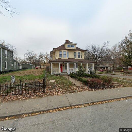
436 N State Ave
436 N State Ave
Indianapolis, IN 46201
Favorites
436 N State Ave

Favorites
Check Back Soon for Upcoming Availability
| Beds | Baths | Average SF |
|---|---|---|
| 2 Bedrooms 2 Bedrooms 2 Br | 2 Baths 2 Baths 2 Ba | — |
436 N State Ave,
Indianapolis,
IN
46201
As one of the first areas settled in Indianapolis, the historic Holy Cross neighborhood dates back to roughly 1819. Holy Cross is located directly east of downtown, with I-70 along the west side. The center of the neighborhood is Highland Park, the highest point in the city. The park dates back to 1898 and offers fantastic views of the downtown skyline. Because of its elevation, the park is a popular gathering spot for the 4th of July fireworks.
The neighborhood is named for the Holy Cross Catholic Church and School, which sits on the neighborhood's east side. Nearby attractions include the Easley Winery, the Circle Centre Mall, the Indianapolis City Market, and Bankers Life Fieldhouse.
Learn more about living in Holy CrossBelow are rent ranges for similar nearby apartments
Education
| Colleges & Universities | Distance | ||
|---|---|---|---|
| Colleges & Universities | Distance | ||
| Drive: | 7 min | 2.9 mi | |
| Drive: | 6 min | 3.0 mi | |
| Drive: | 8 min | 3.8 mi | |
| Drive: | 11 min | 6.5 mi |
436 N State Ave is within 7 minutes or 2.9 miles from IU - Indianapolis. It is also near IU - School of Medicine and Ivy Tech Community College.
Walkability Near 436 N State Ave Indianapolis, IN 46201
Getting Around
 What do Walkability, Transit, Drivability, and Bikeability mean?
Walkability measures the walking distance to day-to-day needs.
Transit measures access to public transportation.
Drivability measures congestion, parking availability, and access to major roads.
Bikeability measures the suitability for cycling.
How It Works
What do Walkability, Transit, Drivability, and Bikeability mean?
Walkability measures the walking distance to day-to-day needs.
Transit measures access to public transportation.
Drivability measures congestion, parking availability, and access to major roads.
Bikeability measures the suitability for cycling.
How It Works
Moderately Walkable
Walkability
60
/ 100
Limited Public Transit
Transit
30
/ 100
Very Drivable
Drivability
80
/ 100
Moderately Bikeable
Bikeability
70
/ 100
Scores provided by
-
Soundscore™
-
/ 100
Traffic
-Airport
-Businesses
-Scores provided by
HowLoud What is a Sound Score Rating? A Sound Score Rating aggregates noise caused by vehicle traffic, airplane traffic and local sources. How It WorksYou May Also Like
Similar Rentals Nearby
-
-
-
-
-
-
-
-
1 / 27

-
-


What Are Walk Score®, Transit Score®, and Bike Score® Ratings?
Walk Score® measures the walkability of any address. Transit Score® measures access to public transit. Bike Score® measures the bikeability of any address.
What is a Sound Score Rating?
A Sound Score Rating aggregates noise caused by vehicle traffic, airplane traffic and local sources.

436 N State Ave
Indianapolis, IN 46201