
The Vitagraph
1277 E 14th St,
Brooklyn, NY 11230
1-3 Beds $2,709 - $4,098
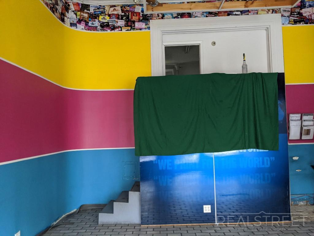
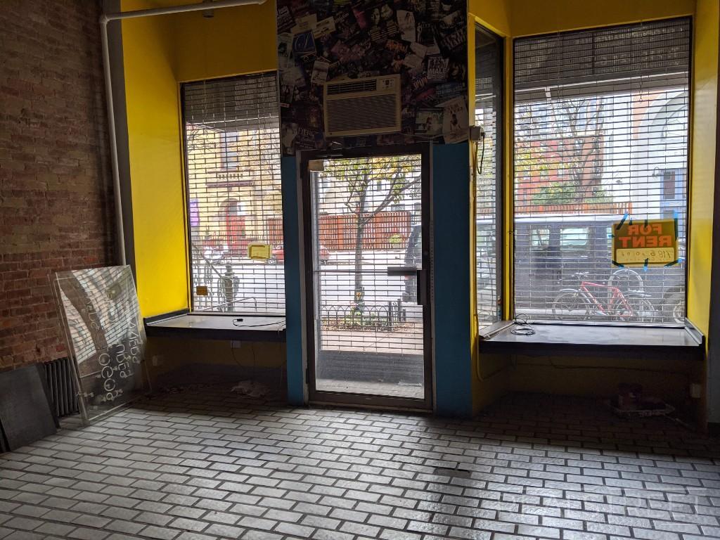
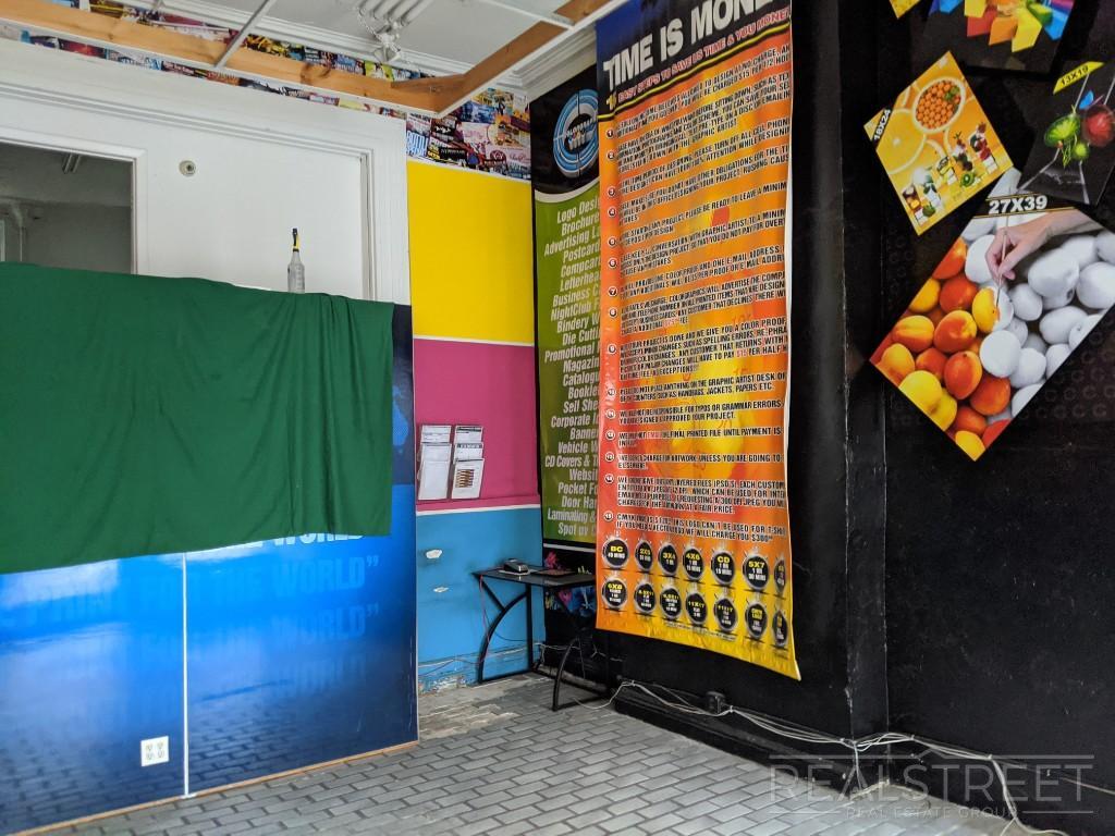
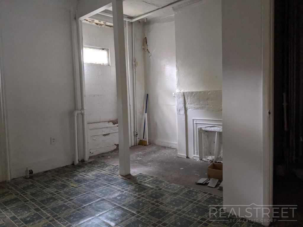
Building description is coming soon..
426 Atlantic Ave is an apartment community located in Kings County and the 11217 ZIP Code. This area is served by the New York City Geographic District #15 attendance zone.
Located in northwestern Brooklyn, just south of downtown, Boerum Hill offers the serenity of a suburb and the excitement of a bustling urban environment. Residents enjoy access to a host of eclectic restaurants and unique shops strewn along the main commercial thoroughfares—Smith Street and Atlantic Avenue.
In more residential parts of the neighborhood, historic brownstones and townhouses nestle up to quiet, tree-lined streets. Boerum Hill has two sister neighborhoods, Cobble Hill and Carol Gardens, which are both situated west of Boerum Hill. The iconic Barclays Center lies just east of Boerum Hill, hosting exciting events like Brooklyn Nets basketball games, boxing matches, and concerts. Convenient subway access makes getting around from Boerum Hill easy.
Learn more about living in Boerum Hill| Colleges & Universities | Distance | ||
|---|---|---|---|
| Colleges & Universities | Distance | ||
| Walk: | 9 min | 0.5 mi | |
| Walk: | 9 min | 0.5 mi | |
| Walk: | 12 min | 0.6 mi | |
| Walk: | 15 min | 0.8 mi |

Transportation options available in Brooklyn include Hoyt Street-Schermerhorn Street, located 0.2 mile from 426 Atlantic Ave. 426 Atlantic Ave is near LaGuardia, located 10.3 miles or 20 minutes away, and Newark Liberty International, located 15.0 miles or 26 minutes away.
| Transit / Subway | Distance | ||
|---|---|---|---|
| Transit / Subway | Distance | ||
|
|
Walk: | 4 min | 0.2 mi |
|
|
Walk: | 5 min | 0.3 mi |
|
|
Walk: | 7 min | 0.4 mi |
|
|
Walk: | 8 min | 0.4 mi |
|
|
Walk: | 8 min | 0.4 mi |
| Commuter Rail | Distance | ||
|---|---|---|---|
| Commuter Rail | Distance | ||
|
|
Walk: | 9 min | 0.5 mi |
|
|
Drive: | 6 min | 2.0 mi |
|
|
Drive: | 12 min | 4.0 mi |
|
|
Drive: | 12 min | 4.1 mi |
|
|
Drive: | 18 min | 6.7 mi |
| Airports | Distance | ||
|---|---|---|---|
| Airports | Distance | ||
|
LaGuardia
|
Drive: | 20 min | 10.3 mi |
|
Newark Liberty International
|
Drive: | 26 min | 15.0 mi |
Time and distance from 426 Atlantic Ave.
| Shopping Centers | Distance | ||
|---|---|---|---|
| Shopping Centers | Distance | ||
| Walk: | 12 min | 0.6 mi | |
| Drive: | 4 min | 1.5 mi |
| Parks and Recreation | Distance | ||
|---|---|---|---|
| Parks and Recreation | Distance | ||
|
Fort Greene Park
|
Walk: | 14 min | 0.8 mi |
|
Cobble Hill Park
|
Walk: | 14 min | 0.8 mi |
|
Cadman Plaza Park
|
Walk: | 20 min | 1.1 mi |
|
Commodore Barry Park
|
Drive: | 4 min | 1.3 mi |
|
Gowanus Canal
|
Drive: | 5 min | 1.4 mi |
| Hospitals | Distance | ||
|---|---|---|---|
| Hospitals | Distance | ||
| Walk: | 11 min | 0.6 mi | |
| Drive: | 5 min | 2.0 mi | |
| Drive: | 9 min | 2.9 mi |
| Military Bases | Distance | ||
|---|---|---|---|
| Military Bases | Distance | ||
| Drive: | 13 min | 5.4 mi | |
| Drive: | 24 min | 12.3 mi |
What Are Walk Score®, Transit Score®, and Bike Score® Ratings?
Walk Score® measures the walkability of any address. Transit Score® measures access to public transit. Bike Score® measures the bikeability of any address.
What is a Sound Score Rating?
A Sound Score Rating aggregates noise caused by vehicle traffic, airplane traffic and local sources


