

$1,695
/ Month
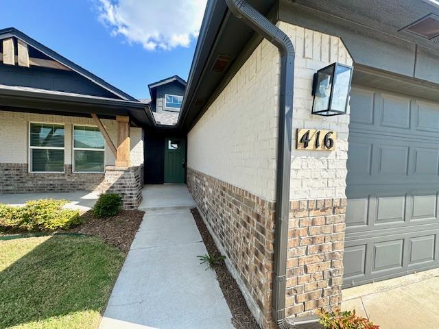
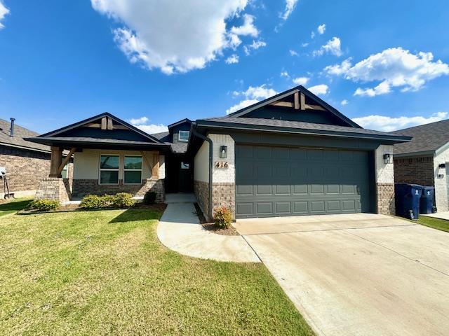
416 Pergola St
Yukon, OK 73099
Today
Favorites
405-928-3053
-
Bedrooms
3
-
Bathrooms
3
-
Square Feet
1,235 sq ft
-
Available
Available Now
416 Pergola St

Favorites
About This Home
Available Now
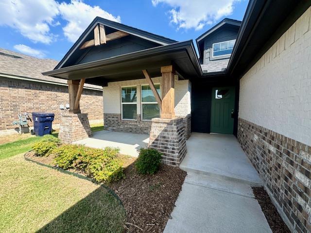
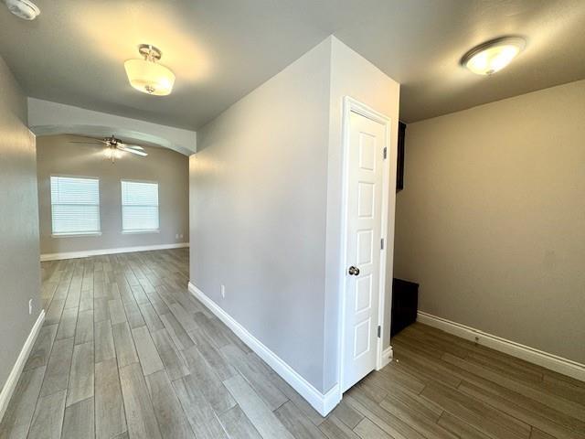
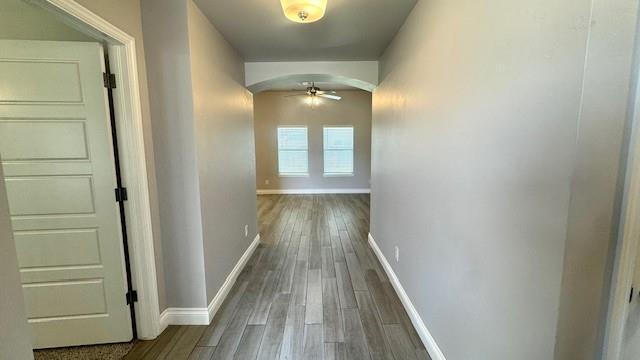
BEAUTIFUL HOME in the Skyline Trails community in South Yukon. OKC utilities,Mustang school district. Open floor design with the master suite to the front of the home. Secondary bedrooms to the opposite side of the home down off to the side. Open floor design with kitchen/dining overlooking the living area. Wood look tile throughout the main areas with carpet in the 3 bedrooms. Drop zone off the garage entry with a separate utility room by the secondary bedrooms. Covered back patio with fenced yard,pet-friendly with additional refundable pet deposit. Community amenities for your enjoyment include soccer field,splash pad and a playground. Conveniently located off Cemetery and Reno Ave with access to shopping and dining along Garth Brooks Blvd and I-40.
416 Pergola St is a house located in Canadian County and the 73099 ZIP Code.
* Price shown is base rent. Excludes user-selected optional fees and variable or usage-based fees and required charges due at or prior to move-in or at move-out. Price, availability, fees, and any applicable rent special are subject to change without notice.
* Square footage definitions vary. Displayed square footage is approximate.
Contact
- Listed by Diana Martinez | Sterling Real Estate
- Phone Number
- Contact
-
Source
 Oklahoma City Metropolitan Association of REALTORS®/MLSOK
Listing Content: Copyright© 2025 MLSOK, Inc. listing content is believed to be accurate but is not guaranteed. Subject to verification by all parties. The listing information being provided is for consumers’ personal, non-commercial use and may not be used for any purpose other than to identify prospective properties consumers may be interested in purchasing. This listing data is copyrighted and may not be transmitted, retransmitted, copied, framed, repurposed, or altered in any way for any other site, individual and/or purpose without the express written permission of MLSOK, Inc. Information last updated on 12/31/2024.
Location
Get Directions
As its name suggests, Southwest Oklahoma City is a neighborhood west of Oklahoma City that stretches from the Canadian River to Highway 66. Most of this community includes open spaces and farmland, but the closer to the city you travel, the more populated the area becomes. Residential neighborhoods and modern shops and restaurants can be found in the eastern sections of town. Renters can find several options for affordable apartments, single-family homes, and townhomes here too. Major roads like Interstate 40 allow for easy travel in and out of the neighborhood, and the Will Rogers World Airport, located just outside of the southeastern corner of the neighborhood, makes farther travel accessible.
Learn more about living in Southwest Oklahoma City
Education
| Colleges & Universities | Distance | ||
|---|---|---|---|
| Colleges & Universities | Distance | ||
| Drive: | 16 min | 10.3 mi | |
| Drive: | 16 min | 11.8 mi | |
| Drive: | 23 min | 15.6 mi | |
| Drive: | 23 min | 16.9 mi |
416 Pergola St is within 16 minutes or 10.3 miles from Southern Nazarene University. It is also near OSU-Oklahoma City and Oklahoma City University.
You May Also Like
Similar Rentals Nearby
-
-
-
1 / 26

-
-

-

-

-
-

-


What Are Walk Score®, Transit Score®, and Bike Score® Ratings?
Walk Score® measures the walkability of any address. Transit Score® measures access to public transit. Bike Score® measures the bikeability of any address.
What is a Sound Score Rating?
A Sound Score Rating aggregates noise caused by vehicle traffic, airplane traffic and local sources
416 Pergola St
Yukon, OK 73099