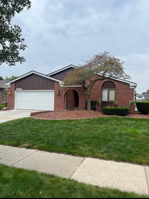
38851 Arlingdale Dr
Sterling Heights, MI 48310
-
Bedrooms
3
-
Bathrooms
1.5
-
Square Feet
1,800 sq ft
-
Available
Available Now
Highlights
- Hardwood Floors
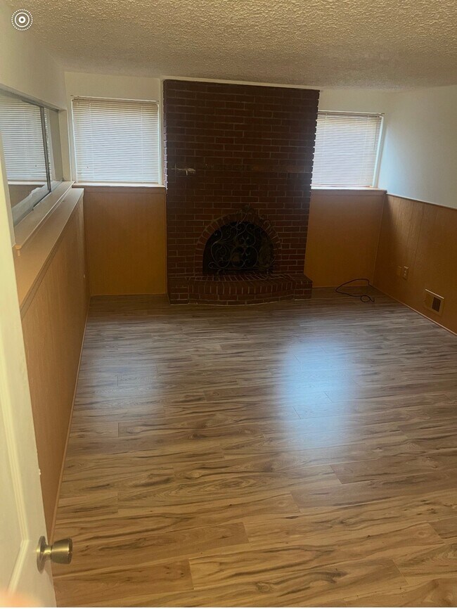
- Fireplace
- Fenced Lot
- Vaulted Ceiling

About This Home
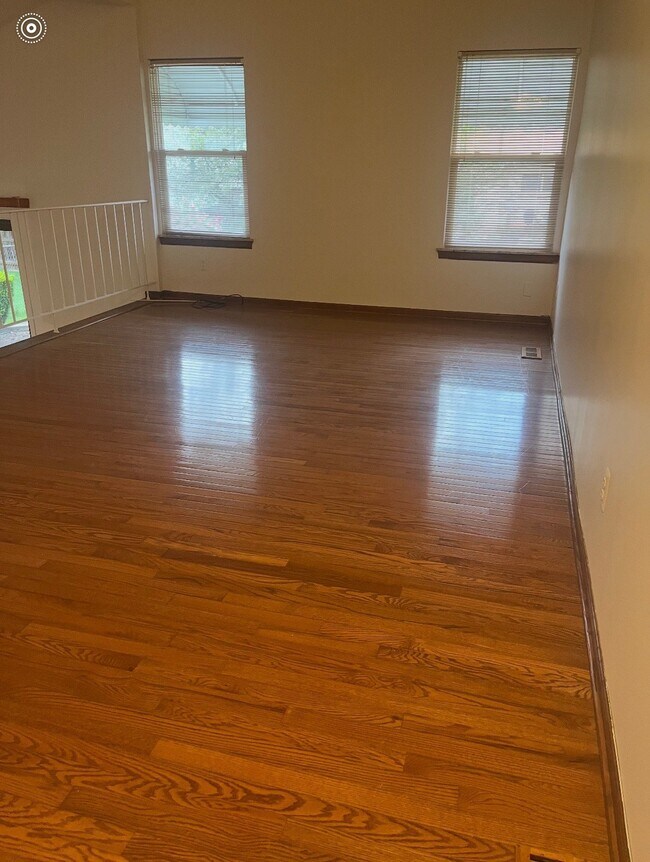
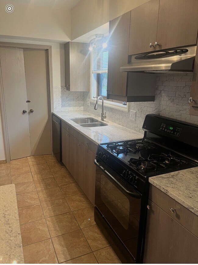
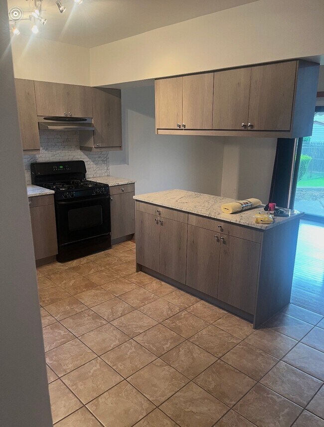
Property Id: 2862539 Great condition, fresh paint, new kitchen, granite counter tops, living room, dining room. Family room, full basement, great location
38851 Arlingdale Dr is a house located in Macomb County and the 48310 ZIP Code.
House Features
Washer/Dryer
Dishwasher
Hardwood Floors
Microwave
- Washer/Dryer
- Fireplace
- Dishwasher
- Disposal
- Microwave
- Oven
- Refrigerator
- Freezer
- Hardwood Floors
- Tile Floors
- Vaulted Ceiling
- Fenced Lot
- Lawn
Fees and Policies
The fees listed below are community-provided and may exclude utilities or add-ons. All payments are made directly to the property and are non-refundable unless otherwise specified. Use the Cost Calculator to determine costs based on your needs.
- One-Time Move-In Fees
-
Security Deposit Refundable - Refundable$4,000
- Parking
-
Garage--
Contact
- Phone Number
- Contact
-
Source

Sterling Heights sits about 18 miles north of Detroit, making it Michigan's fourth-most populous city and one of the largest suburbs in the state. Its identity is rooted in the automotive industry, with the Sterling Heights Assembly Plant operating within city limits and major employment hubs like the GM Tech Center in Warren and automotive campuses in Auburn Hills just a short drive away. The city incorporated in 1968 and grew rapidly from a small agricultural community into a sprawling suburban center covering 37 square miles.
Residents spread across well-established corridors and districts, including the Dodge Park and City Center area near the Clinton River, the Hall Road corridor close to Lakeside Mall, and quieter stretches along Plumbrook and Utica Road. Daily life tends to unfold by car, though SMART bus routes serve key roads like Van Dyke and Hall Road.
Learn more about living in Sterling Heights- Washer/Dryer
- Fireplace
- Dishwasher
- Disposal
- Microwave
- Oven
- Refrigerator
- Freezer
- Hardwood Floors
- Tile Floors
- Vaulted Ceiling
- Fenced Lot
- Lawn
| Colleges & Universities | Distance | ||
|---|---|---|---|
| Colleges & Universities | Distance | ||
| Drive: | 9 min | 3.9 mi | |
| Drive: | 18 min | 9.8 mi | |
| Drive: | 18 min | 10.8 mi | |
| Drive: | 22 min | 11.9 mi |
Scores provided by
 What do Walkability, Transit, Drivability, and Bikeability mean?
Walkability measures the walking distance to day-to-day needs.
Transit measures access to public transportation.
Drivability measures congestion, parking availability, and access to major roads.
Bikeability measures the suitability for cycling.
How It Works
What do Walkability, Transit, Drivability, and Bikeability mean?
Walkability measures the walking distance to day-to-day needs.
Transit measures access to public transportation.
Drivability measures congestion, parking availability, and access to major roads.
Bikeability measures the suitability for cycling.
How It Works
Traffic
-Airport
-Businesses
-Scores provided by
HowLoud What is a Sound Score Rating? A Sound Score Rating aggregates noise caused by vehicle traffic, airplane traffic and local sources. How It WorksYou May Also Like
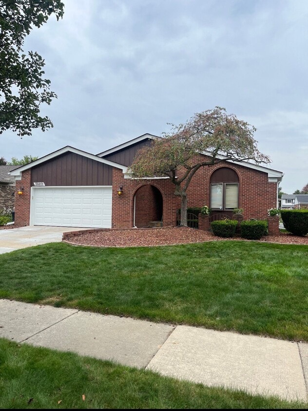
38851 Arlingdale Dr
Sterling Heights, MI 48310