Median Age
42 Years
Largest Age Group
25-34 Years
Approximately 14% of Residents
Under 20
22%
Over 65
22%
Avg Rent
$1,111
Population
129,166
Renter Mix
27% Rent
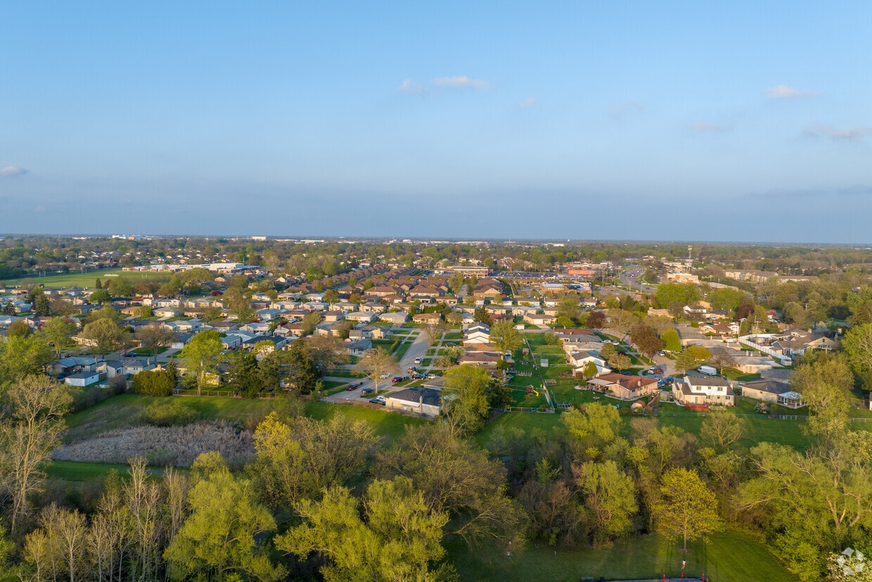
Sterling Heights sits about 18 miles north of Detroit, making it Michigan's fourth-most populous city and one of the largest suburbs in the state. Its identity is rooted in the automotive industry, with the Sterling Heights Assembly Plant operating within city limits and major employment hubs like the GM Tech Center in Warren and automotive campuses in Auburn Hills just a short drive away. The city incorporated in 1968 and grew rapidly from a small agricultural community into a sprawling suburban center covering 37 square miles.
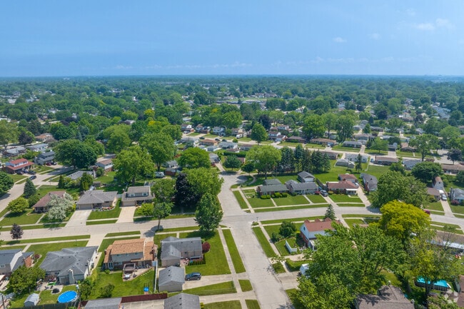
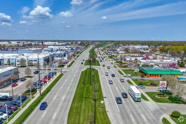
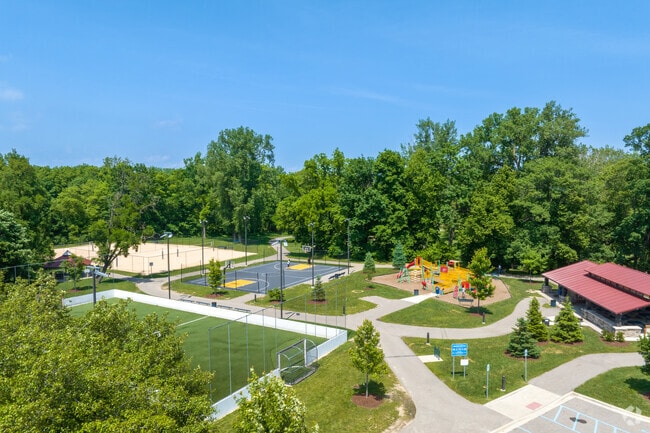
Residents spread across well-established corridors and districts, including the Dodge Park and City Center area near the Clinton River, the Hall Road corridor close to Lakeside Mall, and quieter stretches along Plumbrook and Utica Road. Daily life tends to unfold by car, though SMART bus routes serve key roads like Van Dyke and Hall Road. The housing mix leans heavily toward apartment communities and townhomes, with a range of unit sizes available across the city.
Sterling Heights hosts the annual American-Polish Festival, a nod to its deep Central European heritage. The Michigan Lottery Amphitheatre at Freedom Hill brings live music and events to the area throughout warmer months, giving the city a cultural presence that extends well beyond its suburban footprint.
Light Traffic on VanDyke Avenue in Sterling Heights.
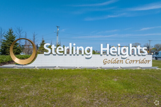
Welcome to the Golden Corridor of Sterling Heights.
Median Household Income
$72,157
Average: $89,321
Education
34,251
Residents Have a Degree
Job Market
64,577
Workers Employed
Median Age
42 Years
Largest Age Group
25-34 Years
Approximately 14% of Residents
Under 20
22%
Over 65
22%
Housing Distribution
Sterling Heights has more homeowners than renters.

Education Distribution
Review this city's overall education levels.

As of July 2026, the average apartment rent in Sterling Heights, MI is $855 for a studio, $1,112 for one bedroom, $1,421 for two bedrooms, and $2,012 for three bedrooms. Apartment rent in Sterling Heights has increased by 0.7% in the past year.
Explore how walkable, bikeable, drivable, and transit-friendly Sterling Heights, MI is for everyday living.
Fairly Walkable
Walkability
Limited Public Transit
Transit
Exceptionally Drivable
Drivability
Somewhat Bikeable
Bikeability
Public
Grades PK-5
324 Students

Public
Grades PK-5
550 Students

Public
Grades PK-5
544 Students
Public
Grades PK-5
448 Students
Public
Grades PK-5
386 Students
Public
Grades 6-8
783 Students

Public
Grades 6-8
993 Students

Frank Jeannette Jr. High School
Public
Grades 6-8
776 Students
Public
Grades 6-8
683 Students
Public
Grades 6-8
635 Students

Public
Grades 9-12
1,891 Students
Public
Grades 9-12
1,623 Students
Sterling Heights Senior High School
Public
Grades 9-12
1,241 Students
Warren Consolidated Community High School
Public
Grades 9-12
133 Students

Public
Grades PK-12
406 Students

† Our analysis of utilities, groceries, transportation, healthcare, home prices, and other goods and services is sourced from the Cost of Living Index, a respected benchmark published by the Council for Community and Economic Research (C2ER) that provides a thorough overview of living expenses across different regions.
Rent data is provided by CoStar Group’s Market Trend reports. As the industry leader in commercial real estate information, analytics, and news, CoStar conducts extensive research to produce and maintain a comprehensive database of commercial real estate information. We combine this data with public record to provide the most up-to-date rental information available.
Consumer goods, services, and home prices are sourced from the Cost of Living Index published by the Council for Community and Economic Research (C2ER). The data on this page is updated quarterly. It was last published in June 2026.
Demographic information comes from Neustar and combines detailed address data with U.S. Census and American Community Survey statistics to produce reliable local estimates.


