

2 Beds
$4,535+
3 Beds
$8,350+
1 Month Free
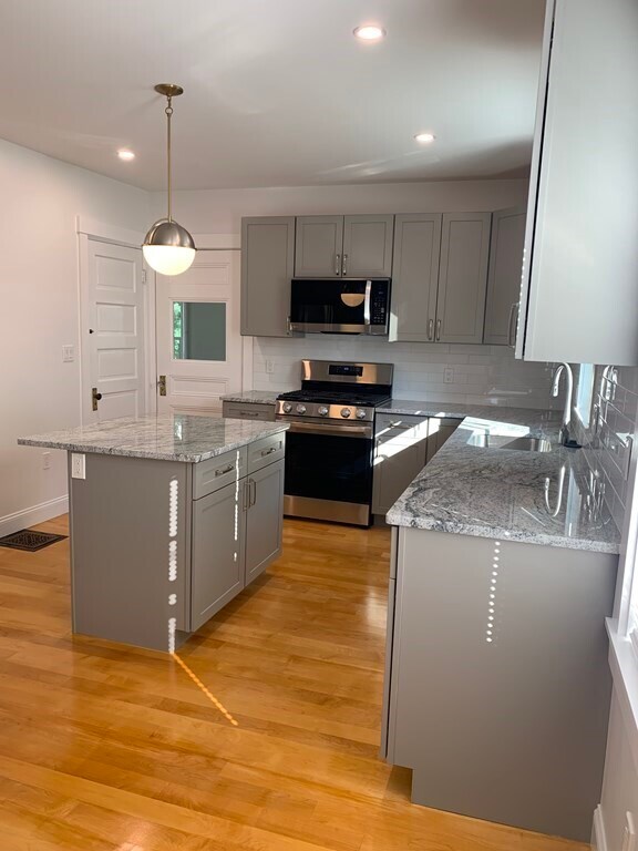
Pets Allowed Fitness Center Pool Dishwasher Refrigerator Kitchen


