$790
/ Month
3784 Highway 53 E
Jasper, GA 30143
2 Weeks Ago
|
Edit
Favorites
3784 Highway 53 E

Favorites
Check Back Soon for Upcoming Availability
| Beds | Baths | Average SF |
|---|---|---|
| 2 Bedrooms 2 Bedrooms 2 Br | 1 Bath 1 Bath 1 Ba | 677 SF |
About This Property
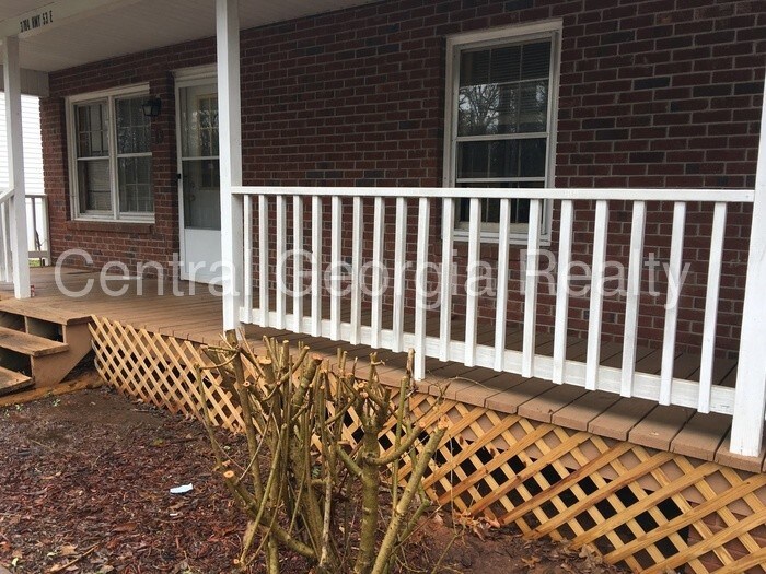
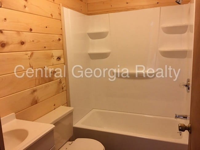
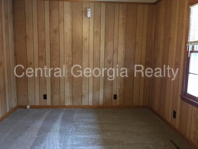
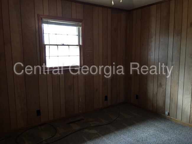
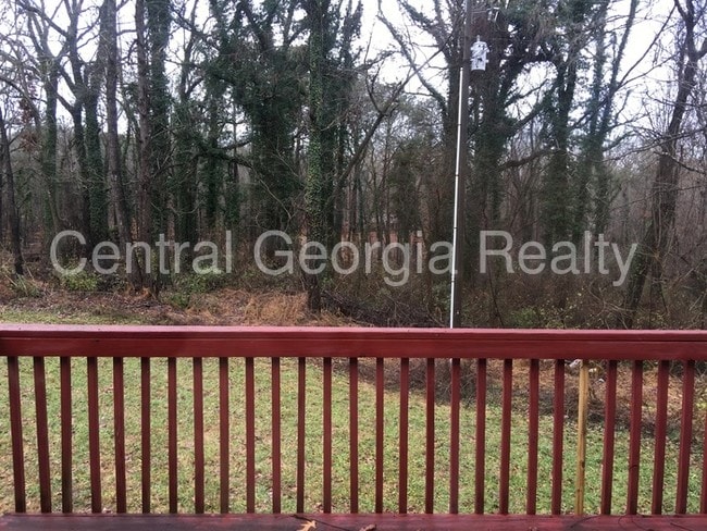
2 BD 1 BA single level apartment. Huge front porch. Excellent Jasper location. Water included. This property allows self guided viewing without an appointment. Contact for details.
3784 Highway 53 E is an apartment community located in Pickens County and the 30143 ZIP Code.
3784 Highway 53 E,
Jasper,
GA
30143
Interested in a city with small-town vibes but still plenty to do? Then Jasper, GA might be the perfect place to call home. Dubbed “The First Mountain City,” Jasper has a plethora of hiking trails such as Burnt Mountain Preserve Trail where you can take in the breathtaking views and breathe in the crisp mountain air - some even say that you can see the city of Atlanta and Chattanooga on a clear day.
Visit the Fainting Goat Vineyards and Winery for a weekend outing with friends or catch a show at the Tater Patch Community Theater. In October, enjoy music, food, drinks, and more at the Georgia Marble Festival located in downtown Jasper. With plenty to do in this friendly atmosphere, there will never be a dull moment in Jasper.
Learn more about living in Jasper
Education
| Colleges & Universities | Distance | ||
|---|---|---|---|
| Colleges & Universities | Distance | ||
| Drive: | 7 min | 4.1 mi | |
| Drive: | 22 min | 14.2 mi | |
| Drive: | 56 min | 33.6 mi | |
| Drive: | 55 min | 34.4 mi |
3784 Highway 53 E is within 7 minutes or 4.1 miles from Chatt. Tech, Appalachian. It is also near Reinhardt University and Georgia Perim., Alpharetta.
Walkability Near 3784 Highway 53 E Jasper, GA 30143
Getting Around
 What do Walkability, Transit, Drivability, and Bikeability mean?
Walkability measures the walking distance to day-to-day needs.
Transit measures access to public transportation.
Drivability measures congestion, parking availability, and access to major roads.
Bikeability measures the suitability for cycling.
How It Works
What do Walkability, Transit, Drivability, and Bikeability mean?
Walkability measures the walking distance to day-to-day needs.
Transit measures access to public transportation.
Drivability measures congestion, parking availability, and access to major roads.
Bikeability measures the suitability for cycling.
How It Works
Not Walkable
Walkability
10
/ 100
Exceptionally Drivable
Drivability
100
/ 100
Not Bikeable
Bikeability
10
/ 100
Scores provided by
-
Soundscore™
-
/ 100
Traffic
-Airport
-Businesses
-Scores provided by
HowLoud What is a Sound Score Rating? A Sound Score Rating aggregates noise caused by vehicle traffic, airplane traffic and local sources. How It WorksYou May Also Like
Similar Rentals Nearby
-
-
-
-
-
-
-
2 Beds$1,856+3 Beds$2,861Total Monthly PriceTotal Monthly Price NewPrices include required monthly fees of $12.Base Rent:2 Beds$1,844+3 Beds$2,8491 Month Free
Pets Allowed Fitness Center Pool Dishwasher Kitchen Walk-In Closets
-
-
2 Beds$1,883+Total Monthly Price12 Month LeaseTotal Monthly Price NewPrices include base rent and required monthly fees of $34. Variable costs based on usage may apply.Base Rent:2 Beds$1,849+
Pets Allowed Fitness Center Pool Dishwasher Maintenance on site Stainless Steel Appliances
-


What Are Walk Score®, Transit Score®, and Bike Score® Ratings?
Walk Score® measures the walkability of any address. Transit Score® measures access to public transit. Bike Score® measures the bikeability of any address.
What is a Sound Score Rating?
A Sound Score Rating aggregates noise caused by vehicle traffic, airplane traffic and local sources.

3784 Highway 53 E
Jasper, GA 30143