
$1,900 / Month
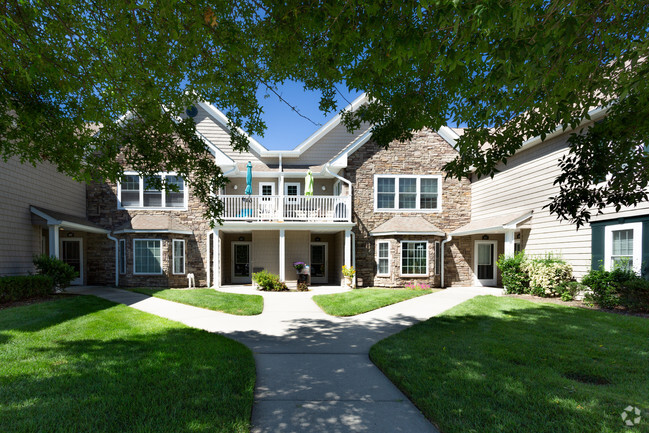
34 Celia St
Patchogue, NY 11772
2 Weeks Ago
Favorites
34 Celia St

Favorites
Check Back Soon for Upcoming Availability
| Beds | Baths | Average SF |
|---|---|---|
| 2 Bedrooms 2 Bedrooms 2 Br | 1 Bath 1 Bath 1 Ba | — |
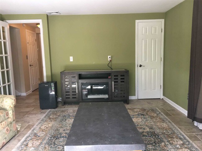
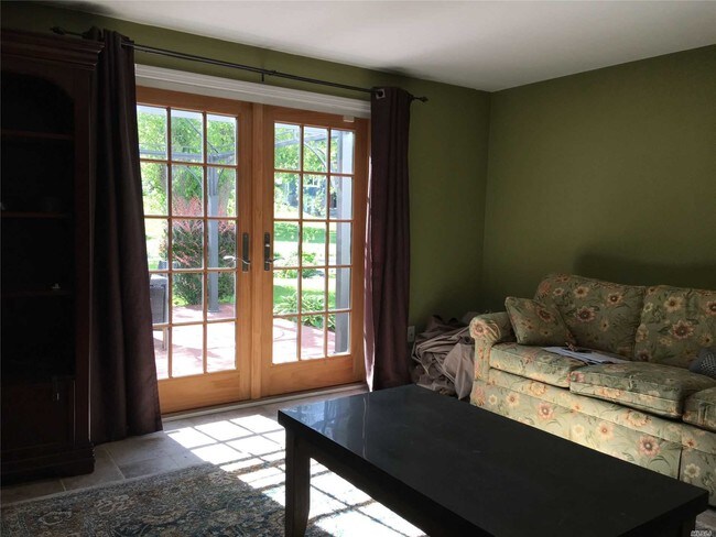
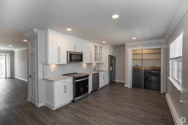
About This Property
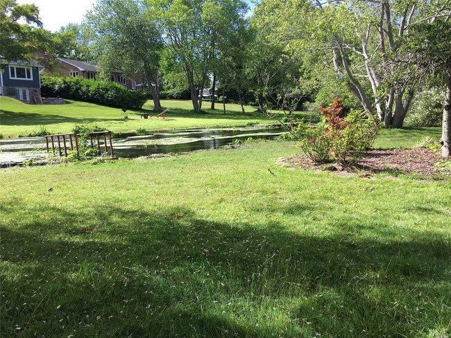
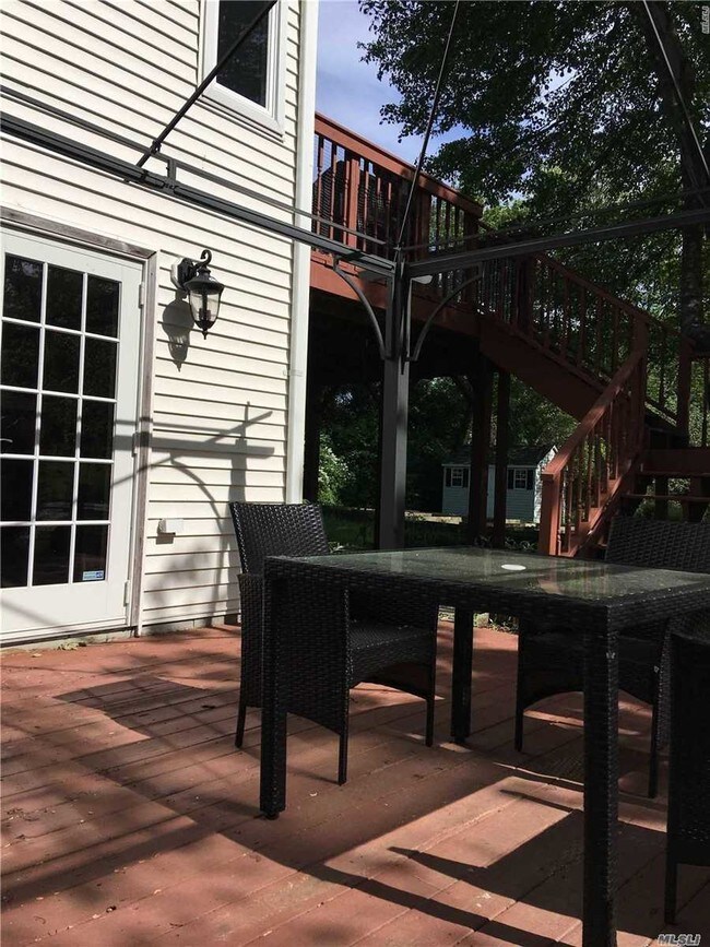
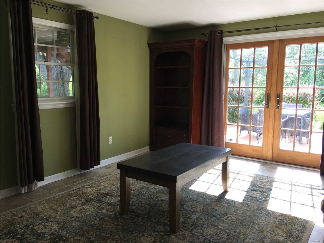
Dead End high ranch with beautiful creek view. Access to back patio. Very quiet and clean. Spacious rooms with some furniture. Two bed rooms, 1 full bath room. Utilities is excluded.
34 Celia St is an apartment community located in Suffolk County and the 11772 ZIP Code.
Location
Get Directions
The Village of Patchogue sits on the south shoreline of Long Island in Suffolk County. Part of the town of Brookhaven, the community was incorporated in 1893, and is now home to a variety of fine dining establishments and breweries. Lombardi’s on the Bay is a popular spot to dine and has great water views.
The beautiful neighborhood, combined with a low cost of living and proximity to New York City, makes Patchogue an ideal place to live. You’ll love everything about your apartment – like how it’s close to Shorefront and Rider Avenue Parks.
Learn more about living in Patchogue
Education
| Colleges & Universities | Distance | ||
|---|---|---|---|
| Colleges & Universities | Distance | ||
| Drive: | 8 min | 3.5 mi | |
| Drive: | 18 min | 9.3 mi | |
| Drive: | 21 min | 13.0 mi | |
| Drive: | 27 min | 16.1 mi |
34 Celia St is within 8 minutes or 3.5 miles from St Joseph's Coll., Long Island. It is also near SUNY Suffolk Co., Ammerman and Touro University.
You May Also Like
Similar Rentals Nearby


What Are Walk Score®, Transit Score®, and Bike Score® Ratings?
Walk Score® measures the walkability of any address. Transit Score® measures access to public transit. Bike Score® measures the bikeability of any address.
What is a Sound Score Rating?
A Sound Score Rating aggregates noise caused by vehicle traffic, airplane traffic and local sources
34 Celia St
Patchogue, NY 11772