1213 Walnut
1213 Walnut St,
Philadelphia, PA 19107
$2,045 - $7,340
Studio - 2 Beds
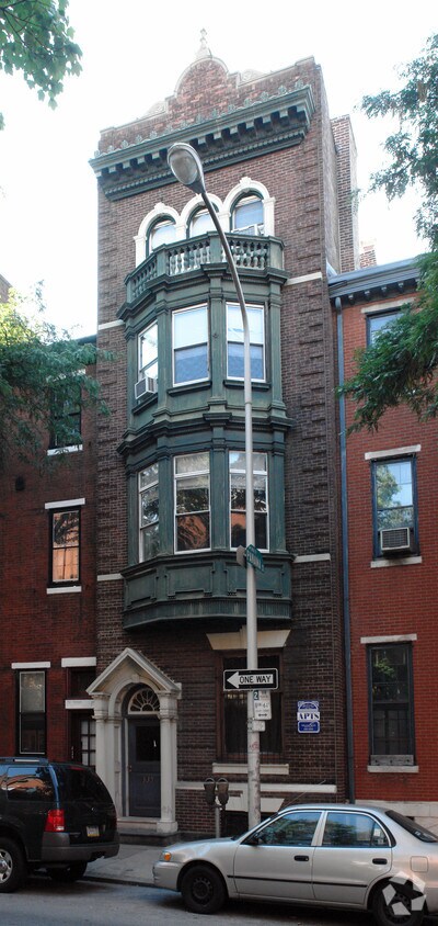
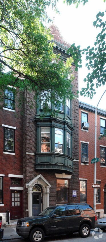

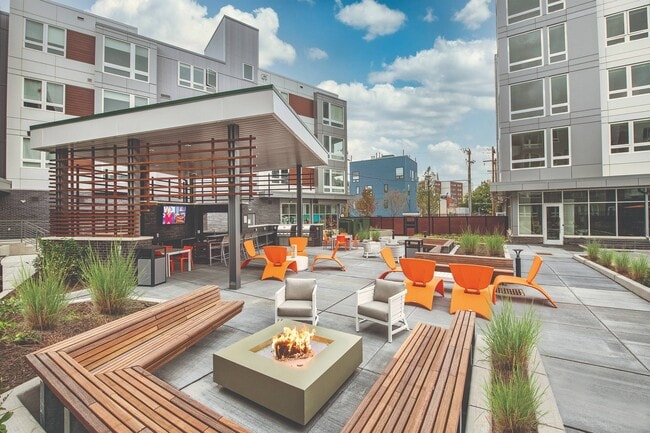
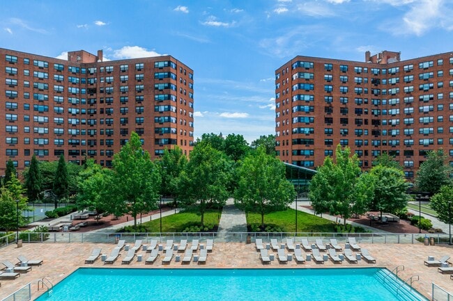
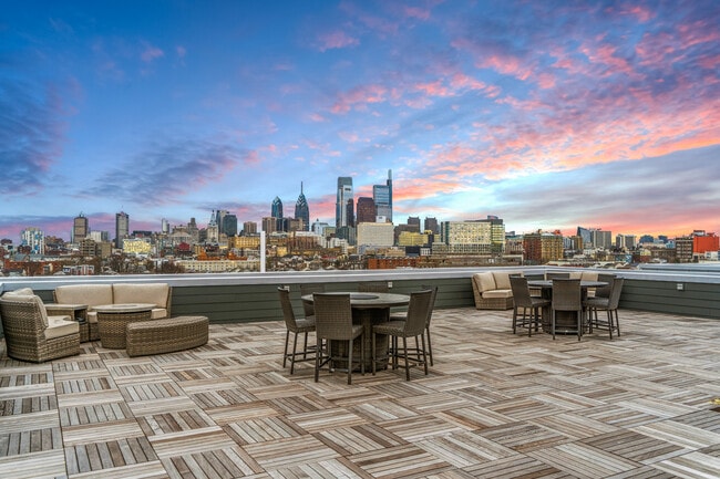
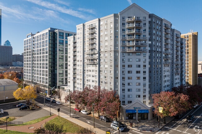
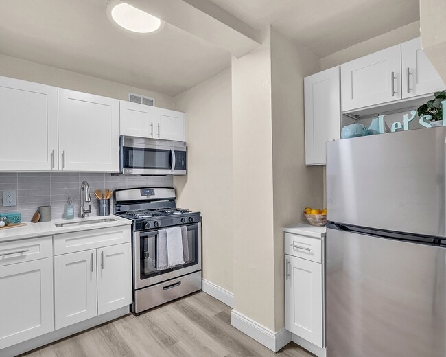
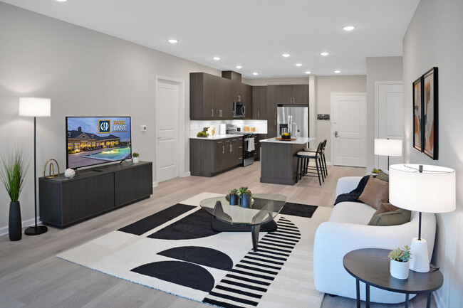
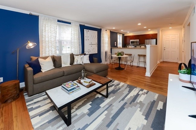
335 S 18th St in Philadelphia is ready for you to visit. A convenient S. 18th St. setting in the 19103 Zip code of Philadelphia is a popular place for those looking for a new home. The professional leasing team is ready for you to come by to check us out. Come for a visit to see the available floorplan options. Come see 335 S 18th St today.
335 S 18th St is an apartment community located in Philadelphia County and the 19103 ZIP Code. This area is served by the The School District of Philadelphia attendance zone.
Located in Center City Philadelphia, Rittenhouse Square is an upscale neighborhood teeming with luxury retailers, independent boutique stores, art galleries, theaters, cafes, bars, and a wide variety of restaurants. At the neighborhood’s core sits Rittenhouse Square, a tree-filled one-square-block park that hosts numerous festivals, fairs, and farmers markets.
Rittenhouse Square, the park, is one of the five original squares city founder William Penn planned in the late 17th century. Today, it is Philadelphia’s most popular town square, serving as a gathering place and a tranquil reprieve from its bustling surroundings.
Rittenhouse Square, the neighborhood, offers plenty of luxury apartments available for rent in elegant high-rise buildings. Many amenities are situated within walking distance, while access to public transit makes getting around from Rittenhouse Square easy.
Learn more about living in Rittenhouse SquareCompare neighborhood and city base rent averages by bedroom.
| Rittenhouse Square | Philadelphia, PA | |
|---|---|---|
| Studio | $1,685 | $1,428 |
| 1 Bedroom | $2,148 | $1,782 |
| 2 Bedrooms | $3,296 | $2,220 |
| 3 Bedrooms | $5,134 | $2,910 |
| Colleges & Universities | Distance | ||
|---|---|---|---|
| Colleges & Universities | Distance | ||
| Walk: | 9 min | 0.5 mi | |
| Drive: | 4 min | 1.2 mi | |
| Drive: | 3 min | 1.2 mi | |
| Drive: | 3 min | 1.4 mi |


 The GreatSchools Rating helps parents compare schools within a state based on a variety of school quality indicators and provides a helpful picture of how effectively each school serves all of its students. Ratings are on a scale of 1 (below average) to 10 (above average) and can include test scores, college readiness, academic progress, advanced courses, equity, discipline and attendance data. We also advise parents to visit schools, consider other information on school performance and programs, and consider family needs as part of the school selection process.
Transportation options available in Philadelphia include 15Th-16Th & Locust St, located 0.4 mile from 335 S 18th St. 335 S 18th St is near Philadelphia International, located 8.6 miles or 20 minutes away, and Trenton Mercer, located 34.4 miles or 51 minutes away.
| Transit / Subway | Distance | ||
|---|---|---|---|
| Transit / Subway | Distance | ||
|
|
Walk: | 6 min | 0.4 mi |
|
|
Walk: | 8 min | 0.4 mi |
|
|
Walk: | 10 min | 0.5 mi |
|
|
Walk: | 10 min | 0.5 mi |
|
|
Walk: | 13 min | 0.7 mi |
| Commuter Rail | Distance | ||
|---|---|---|---|
| Commuter Rail | Distance | ||
|
|
Walk: | 13 min | 0.7 mi |
|
|
Drive: | 4 min | 1.2 mi |
| Drive: | 4 min | 1.4 mi | |
|
|
Drive: | 4 min | 1.6 mi |
|
|
Drive: | 8 min | 3.1 mi |
| Airports | Distance | ||
|---|---|---|---|
| Airports | Distance | ||
|
Philadelphia International
|
Drive: | 20 min | 8.6 mi |
|
Trenton Mercer
|
Drive: | 51 min | 34.4 mi |
Scores provided by
 What do Walkability, Transit, Drivability, and Bikeability mean?
Walkability measures the walking distance to day-to-day needs.
Transit measures access to public transportation.
Drivability measures congestion, parking availability, and access to major roads.
Bikeability measures the suitability for cycling.
How It Works
What do Walkability, Transit, Drivability, and Bikeability mean?
Walkability measures the walking distance to day-to-day needs.
Transit measures access to public transportation.
Drivability measures congestion, parking availability, and access to major roads.
Bikeability measures the suitability for cycling.
How It Works
Traffic
-Airport
-Businesses
-Scores provided by
HowLoud What is a Sound Score Rating? A Sound Score Rating aggregates noise caused by vehicle traffic, airplane traffic and local sources. How It WorksTime and distance from 335 S 18th St.
| Parks and Recreation | Distance | ||
|---|---|---|---|
| Parks and Recreation | Distance | ||
|
Schuylkill River Park
|
Walk: | 12 min | 0.6 mi |
|
The Academy of Natural Sciences
|
Drive: | 3 min | 1.3 mi |
|
Franklin Institute
|
Drive: | 4 min | 1.3 mi |
|
Fels Planetarium
|
Drive: | 4 min | 1.3 mi |
|
University of Pennsylvania Observatory
|
Drive: | 4 min | 1.6 mi |
| Hospitals | Distance | ||
|---|---|---|---|
| Hospitals | Distance | ||
| Walk: | 17 min | 0.9 mi | |
| Walk: | 19 min | 1.0 mi | |
| Drive: | 4 min | 1.2 mi |
| Military Bases | Distance | ||
|---|---|---|---|
| Military Bases | Distance | ||
| Drive: | 11 min | 4.3 mi | |
| Drive: | 45 min | 23.3 mi | |
| Drive: | 44 min | 24.2 mi |
What Are Walk Score®, Transit Score®, and Bike Score® Ratings?
Walk Score® measures the walkability of any address. Transit Score® measures access to public transit. Bike Score® measures the bikeability of any address.
What is a Sound Score Rating?
A Sound Score Rating aggregates noise caused by vehicle traffic, airplane traffic and local sources.