
$1,095 - $1,495
Total Monthly Price
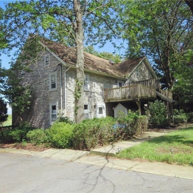
334 S Route 100
Breinigsville, PA 18031
2 Weeks Ago
|
Edit
Favorites
334 S Route 100

Favorites
Check Back Soon for Upcoming Availability
| Beds | Baths | Average SF |
|---|---|---|
| 1 Bedroom 1 Bedroom 1 Br | 1.5 Baths 1.5 Baths 1.5 Ba | 1,000 SF |
| 2 Bedrooms 2 Bedrooms 2 Br | 1 Bath 1 Bath 1 Ba | 1,050 SF |
Fees and Policies
The fees listed below are community-provided and may exclude utilities or add-ons. All payments are made directly to the property and are non-refundable unless otherwise specified.
- Dogs Allowed
-
Fees not specified
- Cats Allowed
-
Fees not specified
- Parking
-
Surface Lot--
Details
Property Information
-
3 units
334 S Route 100 is an apartment community located in Lehigh County and the 18031 ZIP Code.
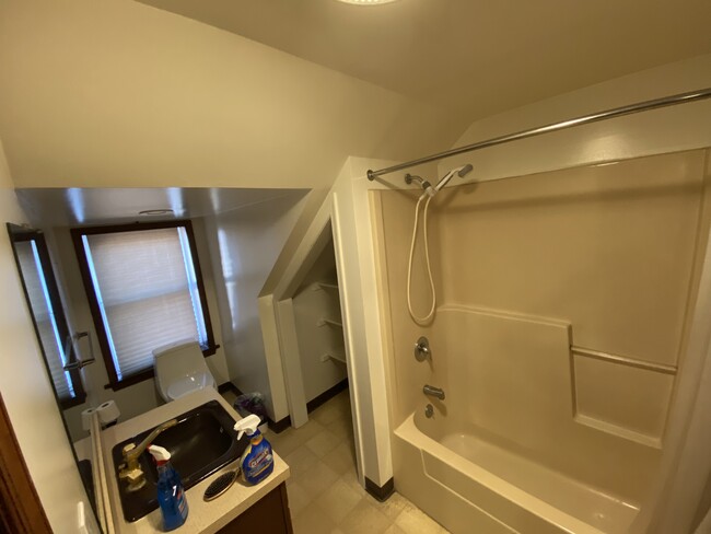
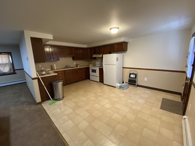
Apartment Features
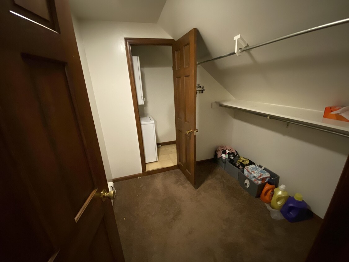
Washer/Dryer
Walk-In Closets
Tub/Shower
Smoke Free
- Washer/Dryer
- Heating
- Smoke Free
- Tub/Shower
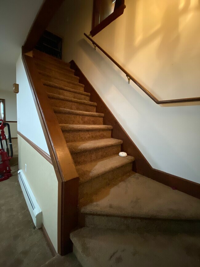
- Handrails
- Walk-In Closets
- Balcony
- Yard
334 S Route 100,
Breinigsville,
PA
18031
Amenities
- Washer/Dryer
- Heating
- Smoke Free
- Tub/Shower
- Handrails
- Walk-In Closets
- Balcony
- Yard
Education
| Colleges & Universities | Distance | ||
|---|---|---|---|
| Colleges & Universities | Distance | ||
| Drive: | 12 min | 6.6 mi | |
| Drive: | 14 min | 7.4 mi | |
| Drive: | 18 min | 11.3 mi | |
| Drive: | 17 min | 11.6 mi |
334 S Route 100 is within 12 minutes or 6.6 miles from Cedar Crest College. It is also near Muhlenberg College and Lehigh Carbon Comm. Coll..
Walkability Near 334 S Route 100 Breinigsville, PA 18031
Getting Around
 What do Walkability, Transit, Drivability, and Bikeability mean?
Walkability measures the walking distance to day-to-day needs.
Transit measures access to public transportation.
Drivability measures congestion, parking availability, and access to major roads.
Bikeability measures the suitability for cycling.
How It Works
What do Walkability, Transit, Drivability, and Bikeability mean?
Walkability measures the walking distance to day-to-day needs.
Transit measures access to public transportation.
Drivability measures congestion, parking availability, and access to major roads.
Bikeability measures the suitability for cycling.
How It Works
Somewhat Walkable
Walkability
20
/ 100
Limited Public Transit
Transit
30
/ 100
Exceptionally Drivable
Drivability
100
/ 100
Somewhat Bikeable
Bikeability
30
/ 100
Scores provided by
-
Soundscore™
-
/ 100
Traffic
-Airport
-Businesses
-Scores provided by
HowLoud What is a Sound Score Rating? A Sound Score Rating aggregates noise caused by vehicle traffic, airplane traffic and local sources. How It WorksYou May Also Like
Similar Rentals Nearby


What Are Walk Score®, Transit Score®, and Bike Score® Ratings?
Walk Score® measures the walkability of any address. Transit Score® measures access to public transit. Bike Score® measures the bikeability of any address.
What is a Sound Score Rating?
A Sound Score Rating aggregates noise caused by vehicle traffic, airplane traffic and local sources.
334 S Route 100
Breinigsville, PA 18031