

1 Bed
$2,054+
2 Beds
$2,669+
Total Monthly Price
Total Monthly Price
New
Prices include base rent and required monthly fees of $8. Variable costs based on usage may apply.
Base Rent:
1 Bed
$2,046+
2 Beds
$2,661+
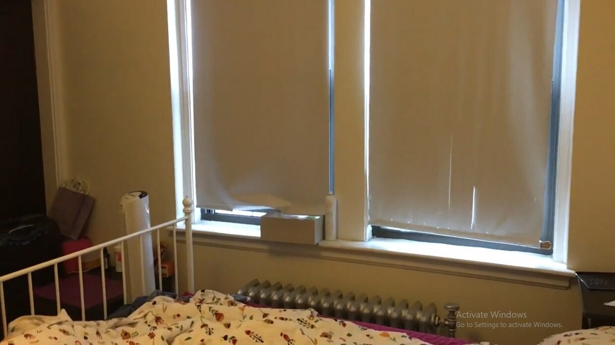
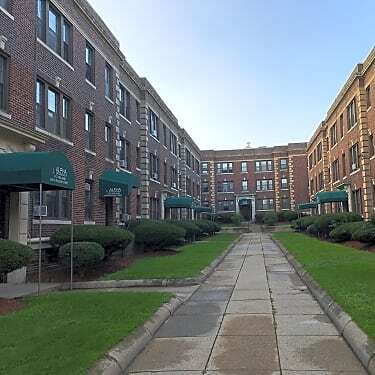
Fitness Center Clubhouse Balcony Granite Countertops Smoke Free Basketball Court