
Rosemont Square
2 Chestnut W,
Randolph, MA 02368
$2,150 - $3,769 Total Monthly Price
1-2 Beds
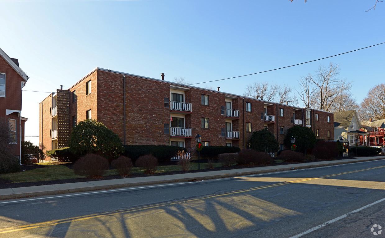

Discover your next home at 32-42 West St. The convenient West St. setting in the 02368 area of Randolph is a great place for you to live. Here at this community, the leasing staff is ready to help you find the perfect new apartment. Come for a visit to see the current floorplan options. Drop by to schedule your tour.
32-42 West St is an apartment community located in Norfolk County and the 02368 ZIP Code. This area is served by the Randolph attendance zone.
Air Conditioning
Dishwasher
High Speed Internet Access
Refrigerator
Randolph is a fairly large town, just inland from Quincy and Weymouth on Interstate 93. The drive to Boston is only about 25 minutes and MBTA rail service is available as well, making it a highly convenient location for commuters or folks who just enjoy the occasional jaunt into the city.
The community itself is mainly residential, with clusters of locally-owned shops and restaurants on the north and south ends of Main Street. Goldstein Open Space and Bertha Soule Memorial Park near the center of town provide terrific grounds for getting outdoors and enjoying some fresh air, and the huge nature preserves near the coast are easily within day trip distance.
Learn more about living in Randolph| Colleges & Universities | Distance | ||
|---|---|---|---|
| Colleges & Universities | Distance | ||
| Drive: | 10 min | 4.1 mi | |
| Drive: | 16 min | 8.2 mi | |
| Drive: | 17 min | 9.2 mi | |
| Drive: | 15 min | 9.8 mi |


Transportation options available in Randolph include Braintree Station, located 4.9 miles from 32-42 West St. 32-42 West St is near General Edward Lawrence Logan International, located 18.2 miles or 30 minutes away.
| Transit / Subway | Distance | ||
|---|---|---|---|
| Transit / Subway | Distance | ||
|
|
Drive: | 11 min | 4.9 mi |
|
|
Drive: | 13 min | 6.6 mi |
|
|
Drive: | 14 min | 7.4 mi |
|
|
Drive: | 15 min | 7.7 mi |
|
|
Drive: | 17 min | 9.2 mi |
| Commuter Rail | Distance | ||
|---|---|---|---|
| Commuter Rail | Distance | ||
|
|
Drive: | 3 min | 1.6 mi |
|
|
Drive: | 9 min | 4.6 mi |
|
|
Drive: | 10 min | 4.7 mi |
|
|
Drive: | 8 min | 4.8 mi |
|
|
Drive: | 13 min | 6.9 mi |
| Airports | Distance | ||
|---|---|---|---|
| Airports | Distance | ||
|
General Edward Lawrence Logan International
|
Drive: | 30 min | 18.2 mi |
Time and distance from 32-42 West St.
| Shopping Centers | Distance | ||
|---|---|---|---|
| Shopping Centers | Distance | ||
| Walk: | 7 min | 0.4 mi | |
| Walk: | 9 min | 0.5 mi | |
| Walk: | 16 min | 0.8 mi |
| Parks and Recreation | Distance | ||
|---|---|---|---|
| Parks and Recreation | Distance | ||
|
Ames Nowell State Park
|
Drive: | 9 min | 5.1 mi |
|
Houghton's Pond Recreation Area
|
Drive: | 10 min | 6.3 mi |
|
Blue Hills Reservation
|
Drive: | 10 min | 6.3 mi |
|
Mass Audubon's Mildred Morse Allen Wildlife Sanctuary
|
Drive: | 15 min | 7.9 mi |
|
Museum of American Bird Art at Mass Audubon
|
Drive: | 15 min | 7.9 mi |
| Hospitals | Distance | ||
|---|---|---|---|
| Hospitals | Distance | ||
| Drive: | 11 min | 6.0 mi | |
| Drive: | 11 min | 6.3 mi | |
| Drive: | 9 min | 6.5 mi |

$3,838 - $8,079
Total Monthly Price1-3 Beds
Pets Allowed Fitness Center Pool Dishwasher Refrigerator Kitchen
What Are Walk Score®, Transit Score®, and Bike Score® Ratings?
Walk Score® measures the walkability of any address. Transit Score® measures access to public transit. Bike Score® measures the bikeability of any address.
What is a Sound Score Rating?
A Sound Score Rating aggregates noise caused by vehicle traffic, airplane traffic and local sources

32-42 West St
Randolph, MA 02368


