


$950
Total Monthly Price
Total Monthly Price
New
Prices include all required monthly fees.
9 Month Lease
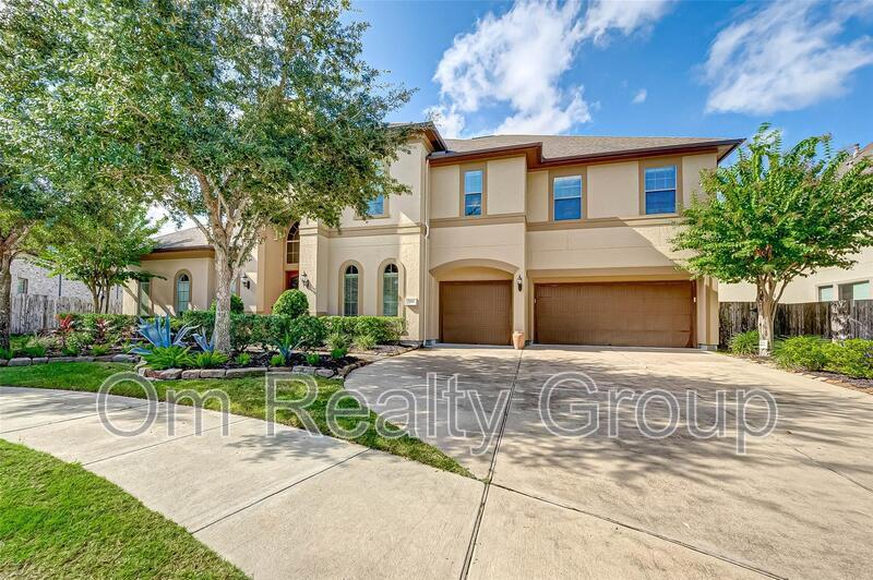
House for Rent
5 Beds, 5 Baths, 400 sq ft


 - Pradera Oaks")


