
$3,200
/ Month
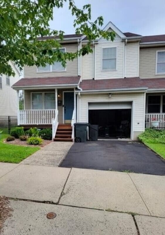
283 Muhammad Ali Ave
Newark, NJ 07108
Today
Favorites
862-356-5612
-
Bedrooms
3
-
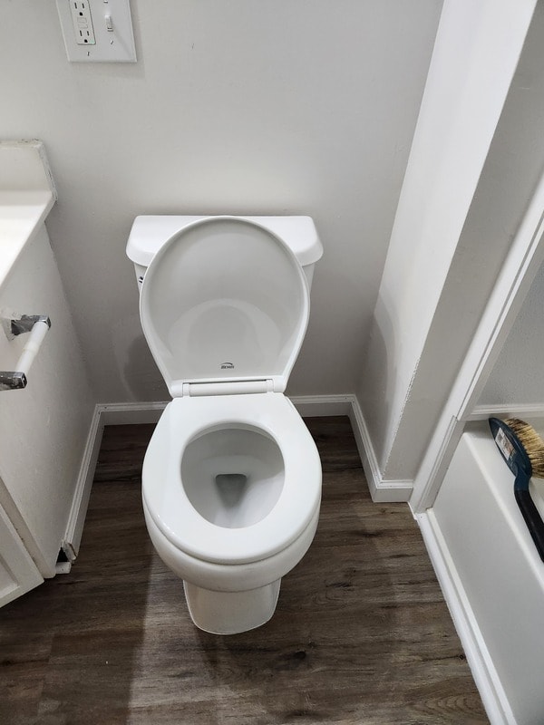
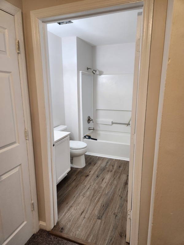
Bathrooms
1.5
-
Square Feet
1,518 sq ft
-
Available
Available Now
283 Muhammad Ali Ave

Favorites
About This Home
$4,800 deposit,
Available Now
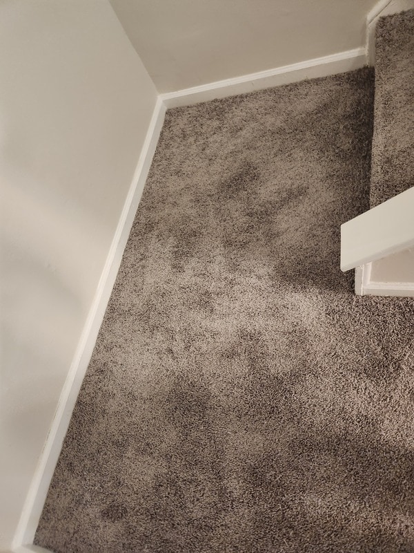
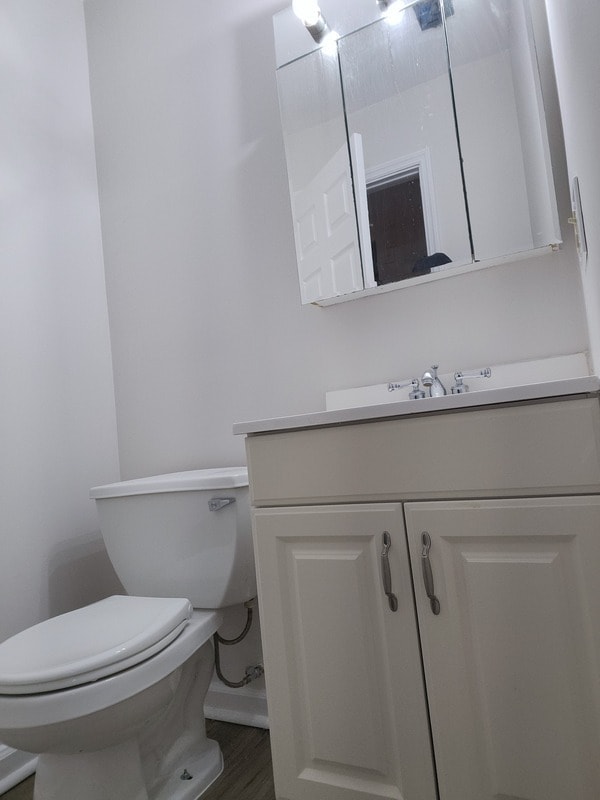
Elegant and inviting single family home, this 3-bed, 1.5-bath residence combines classic appeal with thoughtful updates. The home features spacious living areas, natural light throughout, and a stylish kitchen. The fenced backyard creates the perfect setting for outdoor dining or relaxation, while the crawl space offers convenient storage. With a private garage and a prime location in a desirable neighborhood, this home delivers both charm and convenience.
283 Muhammad Ali Ave is a house located in Essex County and the 07108 ZIP Code. This area is served by the The Newark Public attendance zone.
* Price shown is base rent. Excludes user-selected optional fees and variable or usage-based fees and required charges due at or prior to move-in or at move-out. Price, availability, fees, and any applicable rent special are subject to change without notice.
* Square footage definitions vary. Displayed square footage is approximate.
Fees and Policies
The fees below are based on community-supplied data and may exclude additional fees and utilities.
- Dogs Allowed
-
Fees not specified
- Cats Allowed
-
Fees not specified
Contact
- Phone Number
- Contact
Location
Get Directions
The West Side of Newark is a well-established, urban community. Situated just west of downtown, the historic West Side County Park anchors the community and draws in locals for baseball and other recreation in the city’s Central Ward. Residents of this community enjoy plentiful public transportation, an array of amenities along Springfield Avenue, and various apartments and condos for rent. West Side is very pedestrian friendly, with many residents walking from place to place. Great public schools, universities, and neighborhood parks can be found around the West Side of Newark.
Learn more about living in West Side
Education
| Colleges & Universities | Distance | ||
|---|---|---|---|
| Colleges & Universities | Distance | ||
| Drive: | 3 min | 1.6 mi | |
| Drive: | 4 min | 1.8 mi | |
| Drive: | 4 min | 2.1 mi | |
| Drive: | 8 min | 3.5 mi |
283 Muhammad Ali Ave is within 3 minutes or 1.6 miles from Essex County College. It is also near N.J. Inst. of Technology and Rutgers, Newark Campus.
Schools


Public Elementary & Middle School
Grades PK-8
341 Students
Attendance Zone
Public High School
Grades 9-12
894 Students
Attendance Zone
Public High School
Grades 9-12
141 Students
Attendance Zone
Private Elementary, Middle & High School
8 Students
Nearby
Private Elementary & Middle School
Grades PK-8
Nearby
Private Middle & High School
Grades 7-12
Nearby
School data provided by
 The GreatSchools Rating helps parents compare schools within a state based on a variety of school quality indicators and provides a helpful picture of how effectively each school serves all of its students. Ratings are on a scale of 1 (below average) to 10 (above average) and can include test scores, college readiness, academic progress, advanced courses, equity, discipline and attendance data. We also advise parents to visit schools, consider other information on school performance and programs, and consider family needs as part of the school selection process.
View GreatSchools Rating Methodology
Data provided by GreatSchools.org © 2025. All rights reserved.
View GreatSchools Rating Methodology
Data provided by GreatSchools.org © 2025. All rights reserved.
Transportation options available in Newark include Warren Street, located 1.6 miles from 283 Muhammad Ali Ave. 283 Muhammad Ali Ave is near Newark Liberty International, located 5.3 miles or 9 minutes away, and LaGuardia, located 24.6 miles or 43 minutes away.
| Transit / Subway | Distance | ||
|---|---|---|---|
| Transit / Subway | Distance | ||
|
|
Drive: | 3 min | 1.6 mi |
|
|
Drive: | 3 min | 1.7 mi |
|
|
Drive: | 3 min | 1.7 mi |
|
|
Drive: | 3 min | 1.8 mi |
|
|
Drive: | 4 min | 1.9 mi |
| Commuter Rail | Distance | ||
|---|---|---|---|
| Commuter Rail | Distance | ||
|
|
Drive: | 4 min | 2.1 mi |
|
|
Drive: | 5 min | 2.4 mi |
|
|
Drive: | 5 min | 3.0 mi |
|
|
Drive: | 6 min | 3.1 mi |
|
|
Drive: | 9 min | 3.9 mi |
| Airports | Distance | ||
|---|---|---|---|
| Airports | Distance | ||
|
Newark Liberty International
|
Drive: | 9 min | 5.3 mi |
|
LaGuardia
|
Drive: | 43 min | 24.6 mi |
Time and distance from 283 Muhammad Ali Ave.
| Shopping Centers | Distance | ||
|---|---|---|---|
| Shopping Centers | Distance | ||
| Walk: | 4 min | 0.2 mi | |
| Walk: | 9 min | 0.5 mi | |
| Walk: | 18 min | 1.0 mi |
283 Muhammad Ali Ave has 3 shopping centers within 1.0 mile, which is about a 18-minute walk. The miles and minutes will be for the farthest away property.
| Parks and Recreation | Distance | ||
|---|---|---|---|
| Parks and Recreation | Distance | ||
|
Newark Museum and Dreyfuss Planetarium
|
Drive: | 4 min | 2.0 mi |
|
Branch Brook Park
|
Drive: | 7 min | 3.5 mi |
|
Kearny Marsh
|
Drive: | 11 min | 5.0 mi |
|
Edison National Historic Site
|
Drive: | 11 min | 5.6 mi |
|
Turtle Back Zoo
|
Drive: | 15 min | 7.7 mi |
283 Muhammad Ali Ave has 5 parks within 7.7 miles, including Newark Museum and Dreyfuss Planetarium, Branch Brook Park, and Kearny Marsh.
| Hospitals | Distance | ||
|---|---|---|---|
| Hospitals | Distance | ||
| Walk: | 18 min | 0.9 mi | |
| Drive: | 4 min | 2.0 mi | |
| Drive: | 4 min | 2.1 mi |
283 Muhammad Ali Ave has 3 hospitals within 2.1 miles, the nearest is The University Hospital which is 0.9 mile away and a 18 minute walk.
| Military Bases | Distance | ||
|---|---|---|---|
| Military Bases | Distance | ||
| Drive: | 14 min | 9.2 mi | |
| Drive: | 26 min | 16.8 mi | |
| Drive: | 30 min | 17.5 mi |
283 Muhammad Ali Ave has 3 military bases within 17.5 miles, the nearest is Military Ocean Terminal which is 9.2 miles away and a 14 minute drive.
You May Also Like
Similar Rentals Nearby


What Are Walk Score®, Transit Score®, and Bike Score® Ratings?
Walk Score® measures the walkability of any address. Transit Score® measures access to public transit. Bike Score® measures the bikeability of any address.
What is a Sound Score Rating?
A Sound Score Rating aggregates noise caused by vehicle traffic, airplane traffic and local sources

283 Muhammad Ali Ave
Newark, NJ 07108