$1,350
Total Monthly Price
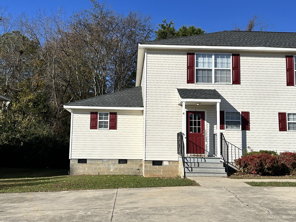
2702 Lantern Walk SE
Huntsville, AL 35803
2 Weeks Ago
|
Edit
Favorites
2702 Lantern Walk SE

Favorites
Check Back Soon for Upcoming Availability
| Beds | Baths | Average SF |
|---|---|---|
| 3 Bedrooms 3 Bedrooms 3 Br | 2.5 Baths 2.5 Baths 2.5 Ba | 1,550 SF |
Fees and Policies
The fees listed below are community-provided and may exclude utilities or add-ons. All payments are made directly to the property and are non-refundable unless otherwise specified.
- Dogs Allowed
-
Fees not specified
- Cats Allowed
-
Fees not specified
- Parking
-
Surface Lot--
Details
Utilities Included
-
Trash Removal
Property Information
-
Built in 2004
About This Property
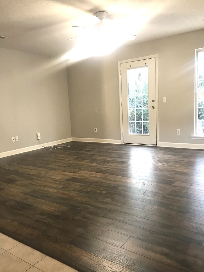
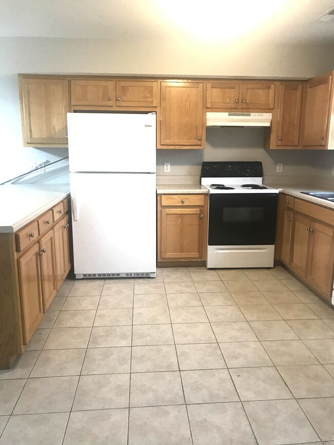
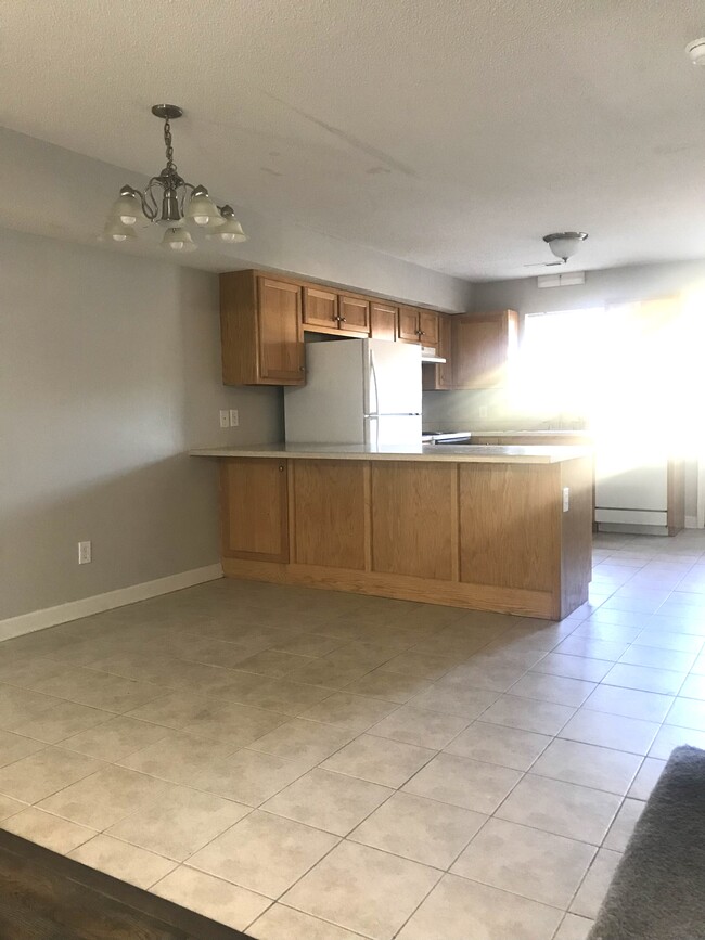
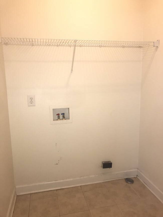
South Huntsville near Redstone gate, Schools:Challenger Elementary, Grissom High School. Park, Master bedroom downstairs, 2 bedrooms upstairs. Laminate flooring, ceramic tile. Walk in laundry room. New hvac, 12x18 foot patio. Lots of closets.
2702 Lantern Walk Se is a townhome located in Madison County and the 35803 ZIP Code. This area is served by the Huntsville City School District attendance zone.
Townhome Features
Washer/Dryer Hookup
High Speed Internet Access
Tub/Shower
Ceiling Fans
- High Speed Internet Access
- Washer/Dryer Hookup
- Heating
- Ceiling Fans
- Cable Ready
- Tub/Shower
- Laundry Facilities
- Patio
2702 Lantern Walk SE,
Huntsville,
AL
35803
The Huntsville neighborhood of Farley-Oakhurst Place is a vast, diverse area just south of Downtown Huntsville. Situated along the banks of the Tennessee River, bounded to the north by Mountain Gap Road, and to the east by Shawdee Road, Farley-Oakhurst encompasses both suburban residential developments and untouched countryside. The neighborhood, especially the northern section, has become popular with families and renters looking to stay to close to the action of Huntsville while enjoying a more affordable space of their own. Memorial Parkway Southwest (Highway 231) is where you’ll find both locally owned restaurants and national chains ranging from pizza and wings to sandwiches and Italian food.
Most of the rentals in this part of the city can be found closer to Downtown Huntsville. Low-rise apartments with plenty of amenities and new single-family home developments round the rental market.
Learn more about living in Farley-Oakhurst PlaceBelow are rent ranges for similar nearby apartments
Amenities
- High Speed Internet Access
- Washer/Dryer Hookup
- Heating
- Ceiling Fans
- Cable Ready
- Tub/Shower
- Laundry Facilities
- Patio
Expenses
Utilities Included
Trash Removal
Included
Education
| Colleges & Universities | Distance | ||
|---|---|---|---|
| Colleges & Universities | Distance | ||
| Drive: | 21 min | 12.1 mi | |
| Drive: | 22 min | 12.2 mi | |
| Drive: | 25 min | 14.3 mi | |
| Drive: | 26 min | 14.5 mi |
2702 Lantern Walk SE is within 21 minutes or 12.1 miles from Univ. of Ala. Huntsville. It is also near Calhoun C.C., Huntsville and Alabama A&M University.
Schools


Public Elementary School
Grades PK-5
503 Students
Attendance Zone
Public Middle School
Grades 6-8
438 Students
Attendance Zone
Public High School
Grades 9-12
1,974 Students
Attendance Zone
Private Elementary, Middle & High School
Grades PK-12
746 Students
Nearby
Private Elementary School
Grades PK-5
104 Students
Nearby
Private Elementary & Middle School
Grades PK-8
114 Students
Nearby
School data provided by
 The GreatSchools Rating helps parents compare schools within a state based on a variety of school quality indicators and provides a helpful picture of how effectively each school serves all of its students. Ratings are on a scale of 1 (below average) to 10 (above average) and can include test scores, college readiness, academic progress, advanced courses, equity, discipline and attendance data. We also advise parents to visit schools, consider other information on school performance and programs, and consider family needs as part of the school selection process.
View GreatSchools Rating Methodology
Data provided by GreatSchools.org © 2026. All rights reserved.
View GreatSchools Rating Methodology
Data provided by GreatSchools.org © 2026. All rights reserved.
Walkability Near 2702 Lantern Walk SE Huntsville, AL 35803
Getting Around
 What do Walkability, Transit, Drivability, and Bikeability mean?
Walkability measures the walking distance to day-to-day needs.
Transit measures access to public transportation.
Drivability measures congestion, parking availability, and access to major roads.
Bikeability measures the suitability for cycling.
How It Works
What do Walkability, Transit, Drivability, and Bikeability mean?
Walkability measures the walking distance to day-to-day needs.
Transit measures access to public transportation.
Drivability measures congestion, parking availability, and access to major roads.
Bikeability measures the suitability for cycling.
How It Works
Somewhat Walkable
Walkability
20
/ 100
Very Drivable
Drivability
80
/ 100
Moderately Bikeable
Bikeability
60
/ 100
Scores provided by
-
Soundscore™
-
/ 100
Traffic
-Airport
-Businesses
-Scores provided by
HowLoud What is a Sound Score Rating? A Sound Score Rating aggregates noise caused by vehicle traffic, airplane traffic and local sources. How It WorksYou May Also Like
Similar Rentals Nearby


What Are Walk Score®, Transit Score®, and Bike Score® Ratings?
Walk Score® measures the walkability of any address. Transit Score® measures access to public transit. Bike Score® measures the bikeability of any address.
What is a Sound Score Rating?
A Sound Score Rating aggregates noise caused by vehicle traffic, airplane traffic and local sources.

2702 Lantern Walk SE
Huntsville, AL 35803