
Isle House
39 Bruton St,
San Francisco, CA 94130
$3,265 - $7,635
Studio - 3 Beds
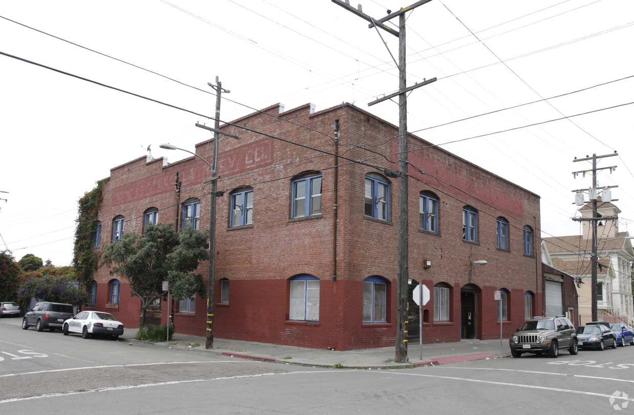
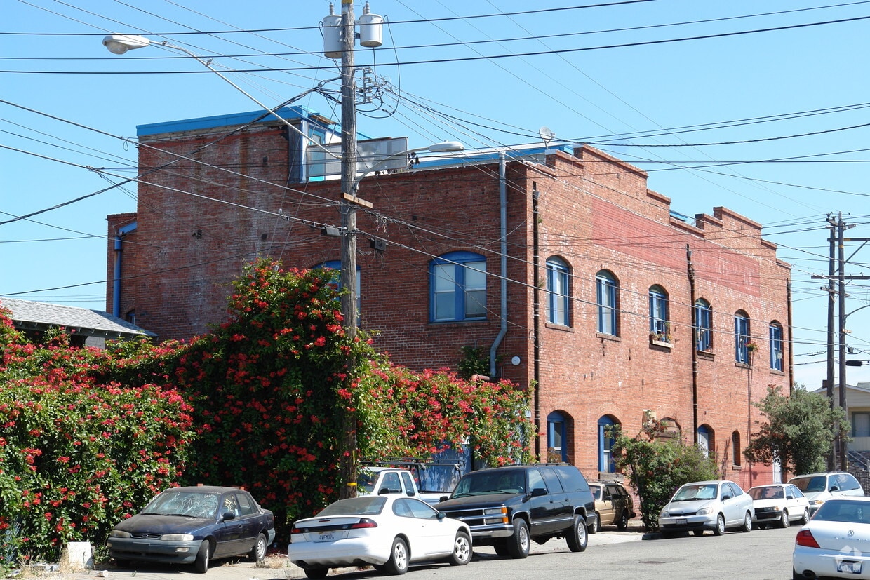
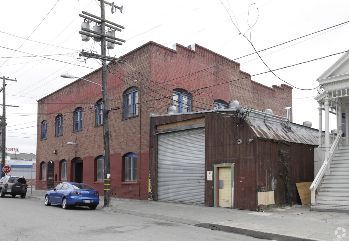

Experience Oakland living at 2639 E 9th St. Make sure you to check out the apartment floorplan options. This community has a variety of available amenities and features. These include: high-speed internet access and smoke free options. Here at this community, the professional leasing staff is ready to help you find the perfect place. Get a head start on moving now. Contact or stop by the 2639 E 9th St leasing office to find out current pricing.
2639 E 9th St is an apartment community located in Alameda County and the 94601 ZIP Code. This area is served by the Oakland Unified attendance zone.
Dishwasher
High Speed Internet Access
Microwave
Refrigerator
Jingletown is a burgeoning arts community located within walking distance of the Fruitvale BART Station. The neighborhood hugs the Oakland Estuary, offering numerous modern apartments and renovated lofts for rent with picturesque waterfront and city views.
Jingletown touts countless art galleries and studios, in addition to colorful murals and festive events, contributing to the community’s esteemed reputation in the arts. Residents and visitors alike come together in Jingletown to partake in art walks, gallery exhibitions, street festivals, and more.
The neighborhood boasts a walkable layout, affording residents quick access to a slew of eateries, cafes, and galleries. Jingletown is also proximate to Alameda’s exciting Park Street District via the Park Street Bridge, where the community delights in a vibrant mix of restaurants, shops, and entertainment options. Convenience to public transportation and multiple freeways makes Jingletown a top choice for many commuters as well.
Learn more about living in Jingletown| Colleges & Universities | Distance | ||
|---|---|---|---|
| Colleges & Universities | Distance | ||
| Drive: | 4 min | 2.0 mi | |
| Drive: | 6 min | 3.2 mi | |
| Drive: | 10 min | 4.0 mi | |
| Drive: | 9 min | 4.5 mi |


Transportation options available in Oakland include Fruitvale Station, located 0.8 mile from 2639 E 9th St. 2639 E 9th St is near Metro Oakland International, located 6.8 miles or 11 minutes away, and San Francisco International, located 25.9 miles or 39 minutes away.
| Transit / Subway | Distance | ||
|---|---|---|---|
| Transit / Subway | Distance | ||
|
|
Walk: | 15 min | 0.8 mi |
|
|
Drive: | 5 min | 2.6 mi |
|
|
Drive: | 6 min | 3.0 mi |
|
|
Drive: | 5 min | 3.2 mi |
|
|
Drive: | 5 min | 3.2 mi |
| Commuter Rail | Distance | ||
|---|---|---|---|
| Commuter Rail | Distance | ||
|
|
Drive: | 5 min | 2.6 mi |
|
|
Drive: | 12 min | 7.6 mi |
|
|
Drive: | 15 min | 9.8 mi |
| Drive: | 22 min | 14.6 mi | |
| Drive: | 22 min | 14.7 mi |
| Airports | Distance | ||
|---|---|---|---|
| Airports | Distance | ||
|
Metro Oakland International
|
Drive: | 11 min | 6.8 mi |
|
San Francisco International
|
Drive: | 39 min | 25.9 mi |
Time and distance from 2639 E 9th St.
| Shopping Centers | Distance | ||
|---|---|---|---|
| Shopping Centers | Distance | ||
| Walk: | 8 min | 0.4 mi | |
| Walk: | 15 min | 0.8 mi | |
| Walk: | 15 min | 0.8 mi |
| Parks and Recreation | Distance | ||
|---|---|---|---|
| Parks and Recreation | Distance | ||
|
Oakland Museum of California
|
Drive: | 4 min | 2.6 mi |
|
Juan Bautista de Anza National Historic Trail
|
Drive: | 5 min | 2.8 mi |
|
Lakeside Park
|
Drive: | 8 min | 3.2 mi |
|
Rotary Nature Center
|
Drive: | 8 min | 3.5 mi |
|
Crown Memorial State Beach
|
Drive: | 9 min | 3.6 mi |
| Hospitals | Distance | ||
|---|---|---|---|
| Hospitals | Distance | ||
| Drive: | 4 min | 1.8 mi | |
| Drive: | 6 min | 2.1 mi | |
| Drive: | 5 min | 2.4 mi |
| Military Bases | Distance | ||
|---|---|---|---|
| Military Bases | Distance | ||
| Drive: | 13 min | 6.0 mi | |
| Drive: | 13 min | 6.2 mi |
What Are Walk Score®, Transit Score®, and Bike Score® Ratings?
Walk Score® measures the walkability of any address. Transit Score® measures access to public transit. Bike Score® measures the bikeability of any address.
What is a Sound Score Rating?
A Sound Score Rating aggregates noise caused by vehicle traffic, airplane traffic and local sources

2639 E 9th St
Oakland, CA 94601


