
$2,450
/ Month
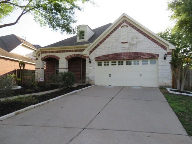
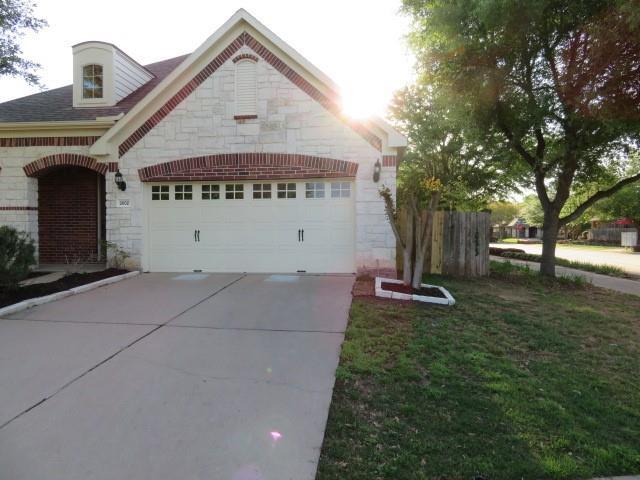
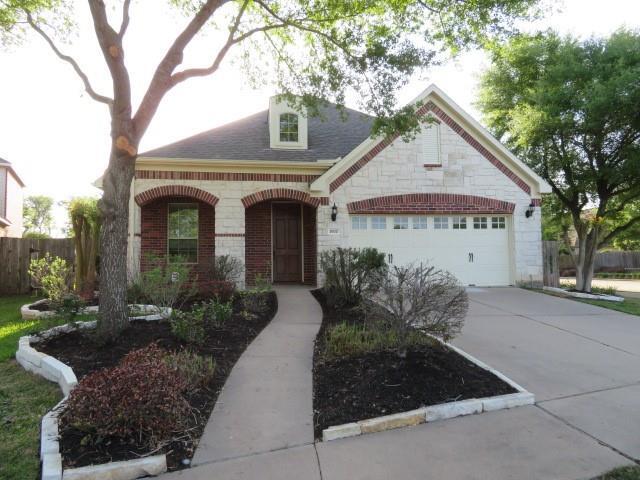
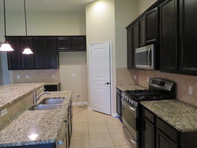
2602 Pittsford St
Sugar Land, TX 77479
2 Weeks Ago
|
Edit
Favorites
-
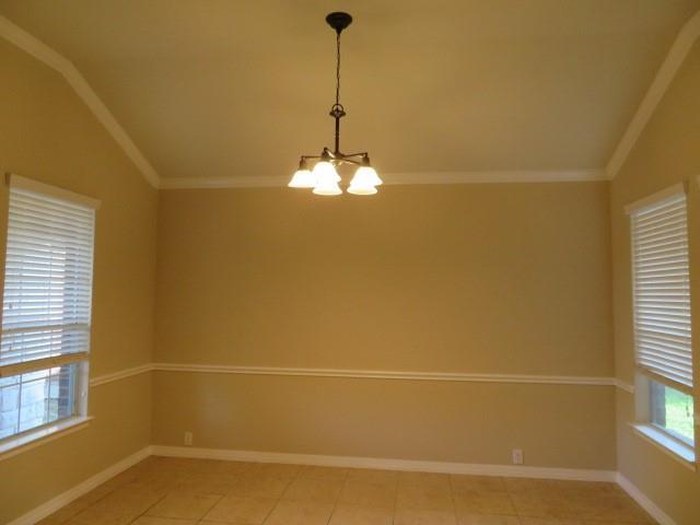
Bedrooms
3
-
Bathrooms
2
-
Square Feet
2,303 sq ft
2602 Pittsford St

Favorites
Contact
- Listed by Locayt
Location
Get Directions
Known for its great schools and large homes, people move to this Sugar Land locale to escape the buzz and gridlock of nearby Houston. Located about 20 miles outside of the city, the Sugar Land area offers residents a similar lifestyle at half scale, and a much more affordable price point.
Telfair is a classic Texas community. It’s spread across an expansive development that showcases the sheer size and sprawl of the state. If you’re looking to live large in Texas, look no further.
Just across the I-69 you’ll find First Colony Mall, a popular spot for residents in this tranquil setting. There are local restaurants too. Kwality Ice Cream and Bahama Buck’s both bring quality frozen treats all within the boundaries of Telfair.
Learn more about living in Telfair
Education
| Colleges & Universities | Distance | ||
|---|---|---|---|
| Colleges & Universities | Distance | ||
| Drive: | 20 min | 13.1 mi | |
| Drive: | 20 min | 13.5 mi | |
| Drive: | 25 min | 18.8 mi | |
| Drive: | 29 min | 20.5 mi |
2602 Pittsford St is within 20 minutes or 13.1 miles from Houston Baptist University. It is also near Houston Christian University and The Art Institute of Houston.
Getting Around
 What do Walkability, Transit, Drivability, and Bikeability mean?
Walkability measures the walking distance to day-to-day needs.
Transit measures access to public transportation.
Drivability measures congestion, parking availability, and access to major roads.
Bikeability measures the suitability for cycling.
How It Works
What do Walkability, Transit, Drivability, and Bikeability mean?
Walkability measures the walking distance to day-to-day needs.
Transit measures access to public transportation.
Drivability measures congestion, parking availability, and access to major roads.
Bikeability measures the suitability for cycling.
How It Works
Fairly Walkable
Walkability
40
/ 100
Exceptionally Drivable
Drivability
100
/ 100
Moderately Bikeable
Bikeability
70
/ 100
Scores provided by
-
Soundscore™
-
/ 100
Traffic
-Airport
-Businesses
-Scores provided by
HowLoud What is a Sound Score Rating? A Sound Score Rating aggregates noise caused by vehicle traffic, airplane traffic and local sources. How It WorksYou May Also Like
Similar Rentals Nearby
-
-
 3 Beds, 3 Baths, 1,995 sq ft$2,575Total Monthly PriceTotal Monthly Price NewPrices include all required monthly fees.840 Threadneedle St Unit 199
 -
 3 Beds, 3 Baths, 1,992 sq ft$2,400Total Monthly PriceTotal Monthly Price NewPrices include all required monthly fees.14535 Misty Meadow Ln
 -
 3 Beds, 2 Baths, 1,565 sq ft$2,354Total Monthly Price12 Month LeaseTotal Monthly Price NewPrices include all required monthly fees.1901 Post Oak Park Dr Unit 13302
 -
 3 Beds, 3 Baths, 2,168 sq ft$1,900Total Monthly PriceTotal Monthly Price NewPrices include all required monthly fees.2320 Shadowdale Dr Unit 296
 -
 3 Beds, 4 Baths, 2,455 sq ft$4,000Total Monthly PriceTotal Monthly Price NewPrices include all required monthly fees.2437 South Blvd Unit 2
 -
 3 Beds, 4 Baths, 2,232 sq ft$2,595Total Monthly Price12 Month LeaseTotal Monthly Price NewPrices include all required monthly fees.8906 Lakeshore Bend Dr
 -
 3 Beds, 4 Baths, 2,155 sq ft$2,800Total Monthly PriceTotal Monthly Price NewPrices include all required monthly fees.1706 McDonald St
 -
 3 Beds, 4 Baths, 2,643 sq ft$4,539Total Monthly Price12 Month LeaseTotal Monthly Price NewPrices include all required monthly fees.4115 Chartres St
 -
 3 Beds, 1 Bath$1,500Total Monthly Price12 Month LeaseTotal Monthly Price NewPrices include all required monthly fees.2908 Truxillo St
What Are Walk Score®, Transit Score®, and Bike Score® Ratings?
Walk Score® measures the walkability of any address. Transit Score® measures access to public transit. Bike Score® measures the bikeability of any address.
What is a Sound Score Rating?
A Sound Score Rating aggregates noise caused by vehicle traffic, airplane traffic and local sources.

2602 Pittsford St
Sugar Land, TX 77479