
Williamsburg
200 W Galbraith Rd,
Cincinnati, OH 45215
$850 - $2,659
Studio - 3 Beds
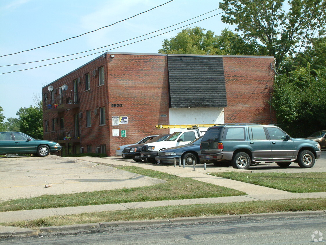
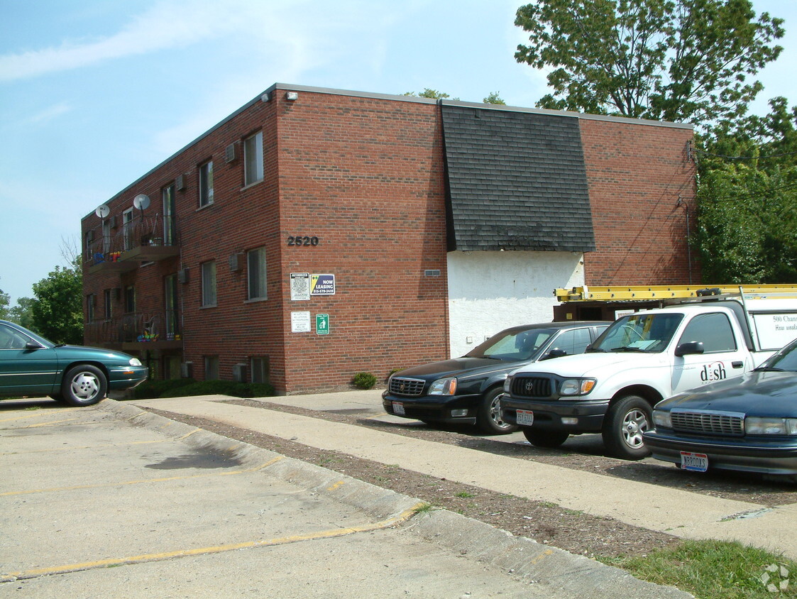
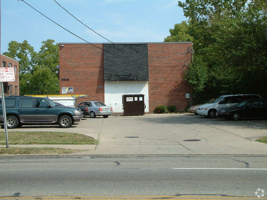
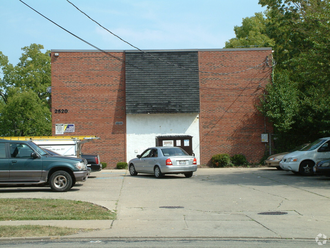

At 2532 Harrison Ave in Cincinnati, OH, you've discovered your new place. The location of this community is on Harrison Ave in Cincinnati. Come for a visit to check out the current floorplan options. Apartments here give you a selection of modern amenities. Some of these include: smoke free options, high-speed internet access, and convenient on-site parking options. Drop by 2532 Harrison Ave today.
2532 Harrison Ave is an apartment community located in Hamilton County and the 45211 ZIP Code. This area is served by the Cincinnati Public Schools attendance zone.
Air Conditioning
High Speed Internet Access
Refrigerator
Tub/Shower
Situated about five miles northwest of Downtown Cincinnati, Westwood is the largest neighborhood in the city. Residents flock to Westwood for its many affordable historic homes and modern apartments available for rent in addition to its close proximity to I-74, I-75, and all that Downtown Cincinnati has to offer.
While Westwood is a predominantly residential neighborhood, it is also home to a slew of convenient stores and restaurants. Shopping opportunities abound in Westwood, with plenty of national retailers in Western Hills Plaza and local shops in the growing Town Hall District. Numerous neighborhood parks provide ample space to enjoy the outdoors in town as well as the sprawling 1,400-acre Mount Airy Forest, which is partially located in Westwood.
Learn more about living in WestwoodCompare neighborhood and city base rent averages by bedroom.
| Westwood | Cincinnati, OH | |
|---|---|---|
| Studio | $579 | $1,056 |
| 1 Bedroom | $785 | $1,130 |
| 2 Bedrooms | $1,018 | $1,406 |
| 3 Bedrooms | $1,272 | $1,684 |
| Colleges & Universities | Distance | ||
|---|---|---|---|
| Colleges & Universities | Distance | ||
| Drive: | 13 min | 4.4 mi | |
| Drive: | 11 min | 4.7 mi | |
| Drive: | 13 min | 5.1 mi | |
| Drive: | 14 min | 6.0 mi |


Transportation options available in Cincinnati include Brewery District Station, Elm & Henry, located 4.2 miles from 2532 Harrison Ave. 2532 Harrison Ave is near Cincinnati/Northern Kentucky International, located 18.5 miles or 34 minutes away.
| Transit / Subway | Distance | ||
|---|---|---|---|
| Transit / Subway | Distance | ||
| Drive: | 10 min | 4.2 mi | |
| Drive: | 10 min | 4.4 mi | |
| Drive: | 10 min | 4.4 mi | |
| Drive: | 10 min | 4.5 mi | |
| Drive: | 11 min | 4.7 mi |
| Commuter Rail | Distance | ||
|---|---|---|---|
| Commuter Rail | Distance | ||
|
|
Drive: | 10 min | 4.4 mi |
| Airports | Distance | ||
|---|---|---|---|
| Airports | Distance | ||
|
Cincinnati/Northern Kentucky International
|
Drive: | 34 min | 18.5 mi |
Time and distance from 2532 Harrison Ave.
| Shopping Centers | Distance | ||
|---|---|---|---|
| Shopping Centers | Distance | ||
| Drive: | 5 min | 2.0 mi | |
| Drive: | 6 min | 2.0 mi | |
| Drive: | 6 min | 2.4 mi |
| Parks and Recreation | Distance | ||
|---|---|---|---|
| Parks and Recreation | Distance | ||
|
Mt. Airy Forest
|
Drive: | 10 min | 3.6 mi |
|
Imago Earth Center
|
Drive: | 11 min | 4.0 mi |
|
Wilson Commons
|
Drive: | 11 min | 4.4 mi |
|
Buttercup Valley
|
Drive: | 12 min | 4.5 mi |
|
Cincinnati History Museum
|
Drive: | 10 min | 4.5 mi |
| Hospitals | Distance | ||
|---|---|---|---|
| Hospitals | Distance | ||
| Drive: | 10 min | 3.9 mi | |
| Drive: | 10 min | 4.1 mi | |
| Drive: | 13 min | 5.2 mi |
| Military Bases | Distance | ||
|---|---|---|---|
| Military Bases | Distance | ||
| Drive: | 75 min | 55.1 mi | |
| Drive: | 81 min | 60.1 mi | |
| Drive: | 83 min | 63.4 mi |
What Are Walk Score®, Transit Score®, and Bike Score® Ratings?
Walk Score® measures the walkability of any address. Transit Score® measures access to public transit. Bike Score® measures the bikeability of any address.
What is a Sound Score Rating?
A Sound Score Rating aggregates noise caused by vehicle traffic, airplane traffic and local sources


