

2 Beds
$2,966+
3 Beds
$3,266+
Total Monthly Price
Total Monthly Price
New
Prices include required monthly fees of $350.
Base Rent:
2 Beds
$2,616+
3 Beds
$2,916+
1 Month Free
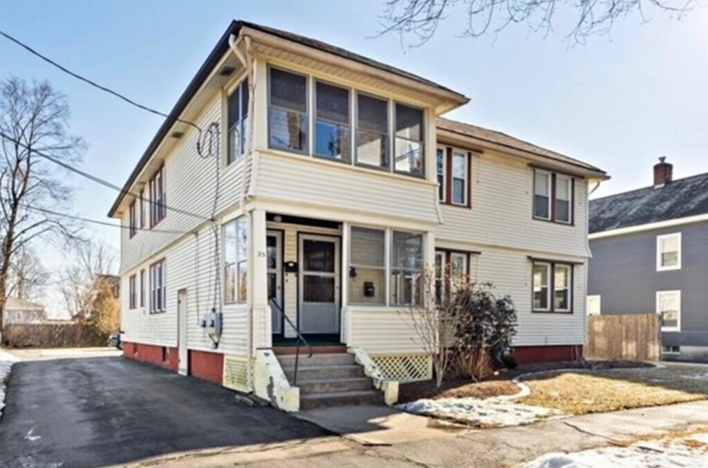
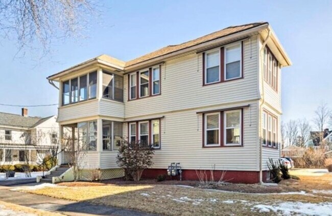
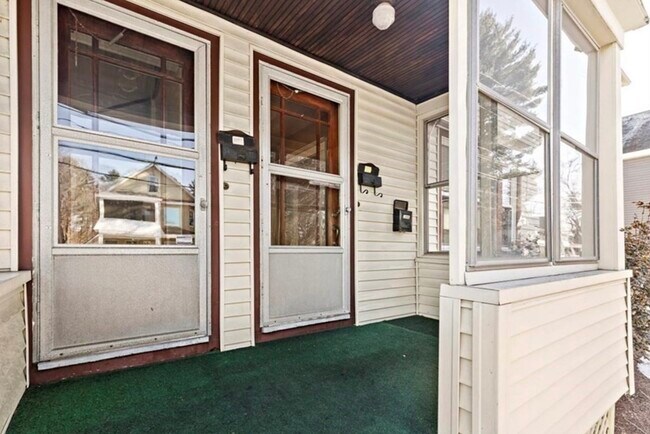
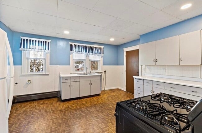
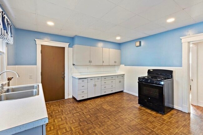
Pets Allowed Pool Dishwasher Refrigerator Kitchen In Unit Washer & Dryer


