$2,400
/ Month
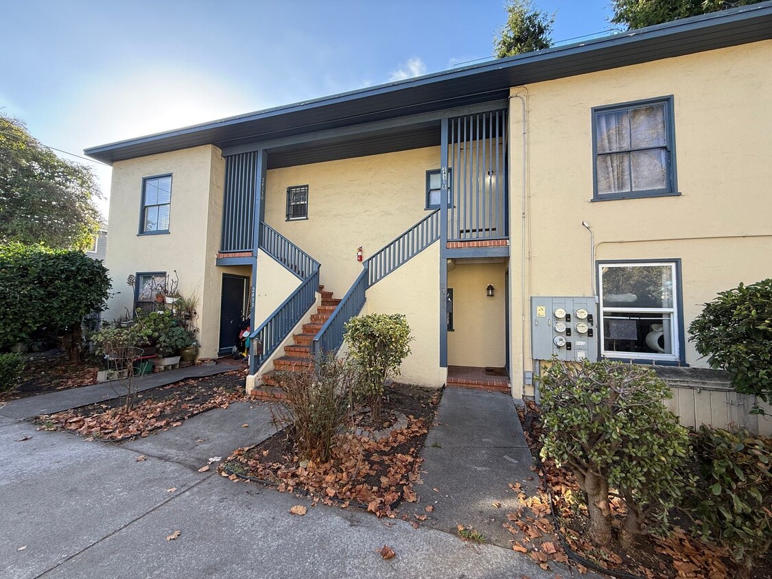
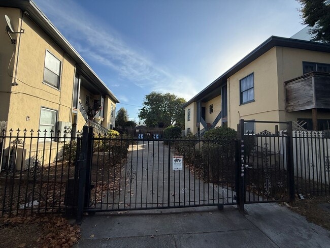
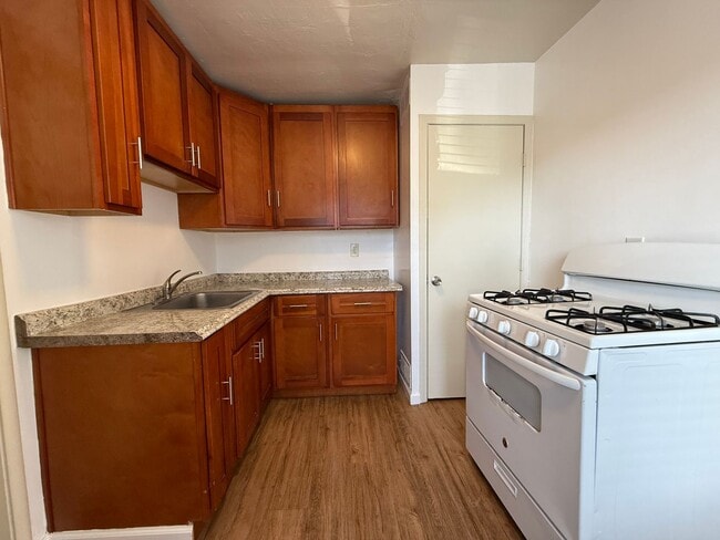
2431-2433 San Pablo Ave Unit San Pablo 2433B
Berkeley, CA 94702
Today
|
Edit
Favorites
408-516-0406
-
Bedrooms
1
-
Bathrooms
1
-
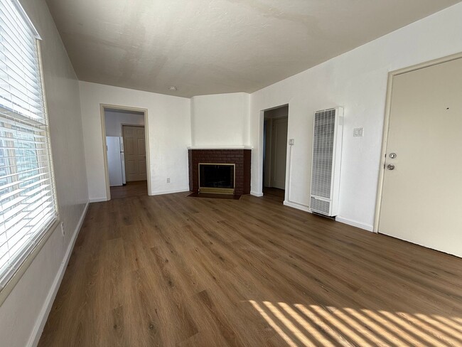
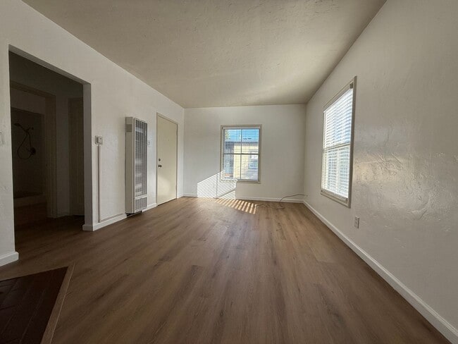
Square Feet
600 sq ft
-
Available
Available Now
2431-2433 San Pablo Ave Unit San Pablo 2433B

Favorites
Fees and Policies
The fees below are based on community-supplied data and may exclude additional fees and utilities.
-
One-Time Basics
-
Due at Move-In
-
Security Deposit - RefundableCharged per unit.$2,000
-
-
Due at Move-In
Property Fee Disclaimer: Based on community-supplied data and independent market research. Subject to change without notice. May exclude fees for mandatory or optional services and usage-based utilities.
Contact
- Listed by West Vine Realty, Inc | West Vine Realty, Inc
- Phone Number
- Contact
Location
Get Directions
Southwest Berkeley is bounded by University Avenue to the north, Sacramento Street to the East, Alcatraz Avenue to the south and the San Francisco Bay to the west. Southwest Berkeley comprises a fascinating mix of the educational and the industrial. Less dense than the more inland parts of Berkeley, Southwest Berkeley has a diverse mix of apartment and home rentals that will delight students and families alike. Convenient access to the illustrious university make this a great option for students and staff, but any renter will love the restaurant and retail options that make this walkable locale so convenient.
Learn more about living in Southwest Berkeley
Education
| Colleges & Universities | Distance | ||
|---|---|---|---|
| Colleges & Universities | Distance | ||
| Drive: | 4 min | 1.6 mi | |
| Drive: | 9 min | 2.9 mi | |
| Drive: | 11 min | 3.9 mi | |
| Drive: | 12 min | 4.6 mi |
2431-2433 San Pablo Ave Unit San Pablo 2433B is within 4 minutes or 1.6 miles from Berkeley City College. It is also near UC Berkeley and Samuel Merritt University.
Transportation options available in Berkeley include North Berkeley, located 1.2 miles from 2431-2433 San Pablo Ave Unit San Pablo 2433B. 2431-2433 San Pablo Ave Unit San Pablo 2433B is near Metro Oakland International, located 13.9 miles or 25 minutes away, and San Francisco International, located 23.4 miles or 38 minutes away.
| Transit / Subway | Distance | ||
|---|---|---|---|
| Transit / Subway | Distance | ||
|
|
Drive: | 4 min | 1.2 mi |
|
|
Drive: | 4 min | 1.4 mi |
|
|
Drive: | 5 min | 1.7 mi |
|
|
Drive: | 5 min | 1.7 mi |
|
|
Drive: | 5 min | 2.0 mi |
| Commuter Rail | Distance | ||
|---|---|---|---|
| Commuter Rail | Distance | ||
|
|
Walk: | 19 min | 1.0 mi |
|
|
Drive: | 6 min | 2.1 mi |
|
|
Drive: | 13 min | 5.4 mi |
| Drive: | 13 min | 7.5 mi | |
| Drive: | 19 min | 10.9 mi |
| Airports | Distance | ||
|---|---|---|---|
| Airports | Distance | ||
|
Metro Oakland International
|
Drive: | 25 min | 13.9 mi |
|
San Francisco International
|
Drive: | 38 min | 23.4 mi |
Time and distance from 2431-2433 San Pablo Ave Unit San Pablo 2433B.
| Shopping Centers | Distance | ||
|---|---|---|---|
| Shopping Centers | Distance | ||
| Drive: | 4 min | 1.5 mi | |
| Drive: | 5 min | 1.6 mi | |
| Drive: | 7 min | 2.3 mi |
2431-2433 San Pablo Ave Unit San Pablo 2433B has 3 shopping centers within 2.3 miles, which is about a 7-minute drive. The miles and minutes will be for the farthest away property.
| Parks and Recreation | Distance | ||
|---|---|---|---|
| Parks and Recreation | Distance | ||
|
Strawberry Creek Park
|
Walk: | 10 min | 0.6 mi |
|
Cedar-Rose Park
|
Drive: | 3 min | 1.3 mi |
|
McLaughlin Eastshore State Park
|
Drive: | 3 min | 1.4 mi |
|
Habitot Children's Museum
|
Drive: | 5 min | 1.6 mi |
|
San Francisco Bay Trail (at Emeryville)
|
Drive: | 5 min | 1.9 mi |
2431-2433 San Pablo Ave Unit San Pablo 2433B has 5 parks within 1.9 miles, including Strawberry Creek Park, Cedar-Rose Park, and McLaughlin Eastshore State Park.
| Hospitals | Distance | ||
|---|---|---|---|
| Hospitals | Distance | ||
| Drive: | 7 min | 2.5 mi | |
| Drive: | 8 min | 2.8 mi | |
| Drive: | 10 min | 5.3 mi |
2431-2433 San Pablo Ave Unit San Pablo 2433B has 3 hospitals within 5.3 miles, the nearest is Alta Bates Summit Medical Center - Alta Bates Campus which is 2.5 miles away and a 7 minute drive.
| Military Bases | Distance | ||
|---|---|---|---|
| Military Bases | Distance | ||
| Drive: | 13 min | 5.3 mi | |
| Drive: | 16 min | 6.4 mi |
2431-2433 San Pablo Ave Unit San Pablo 2433B is 5.3 miles from Military Reservation, and is convenient to other military bases, including Oakland Army Base.
You May Also Like
Similar Rentals Nearby


What Are Walk Score®, Transit Score®, and Bike Score® Ratings?
Walk Score® measures the walkability of any address. Transit Score® measures access to public transit. Bike Score® measures the bikeability of any address.
What is a Sound Score Rating?
A Sound Score Rating aggregates noise caused by vehicle traffic, airplane traffic and local sources

2431-2433 San Pablo Ave
Berkeley, CA 94702