
The Reserves at Meadow Wood
2513-2517 Woodhill Dr,
Fort Mitchell, KY 41017
$1,355
1-2 Beds
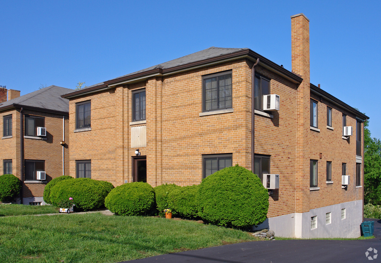
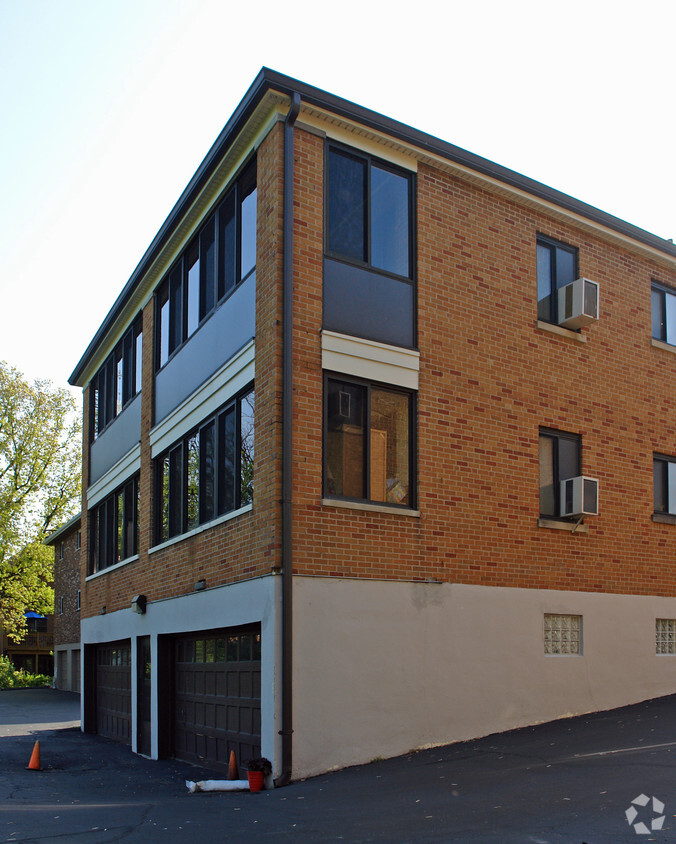
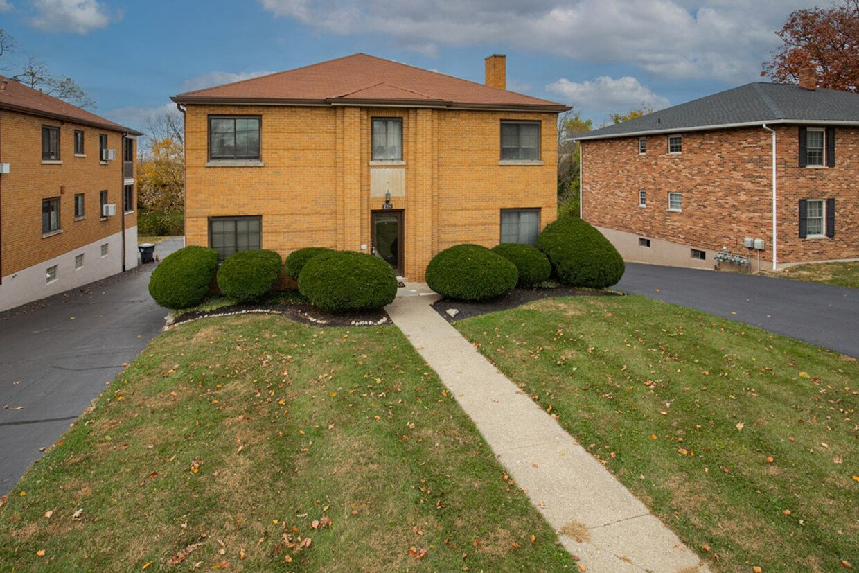

2314-2316 Dixie Hwy offers a combination of quality and design. This community is located in the Kenton County area of Fort Mitchell. The professional leasing team will assist you in finding the perfect apartment. It's time to find your new home. Contact or stop by the 2314-2316 Dixie Hwy leasing office to schedule a tour.
2314 Dixie Hwy is an apartment community located in Kenton County and the 41017 ZIP Code. This area is served by the Beechwood Independent attendance zone.
Northern Kentucky is a sprawling region located just south of Cincinnati, Ohio. The Ohio River hugs the northern, eastern, and western portions of the region, serving as a scenic destination for all kinds of outdoor recreation throughout the year. Florence, Dayton, Newport, Covington, Burlington, and Highland Heights are among the many communities included in the Northern Kentucky region.
Each community in Northern Kentucky offers its own unique identity and sense of character. The rentals in the area are just as diverse as Northern Kentucky itself, ranging from luxury apartments to charming houses and everything in between. Getting around the region is a breeze with convenience to Interstates 71, 75, 275, and 471.
Learn more about living in Northern KentuckyCompare neighborhood and city base rent averages by bedroom.
| Northern Kentucky | Fort Mitchell, KY | |
|---|---|---|
| Studio | $1,025 | - |
| 1 Bedroom | $1,217 | $948 |
| 2 Bedrooms | $1,436 | $1,096 |
| 3 Bedrooms | $1,736 | $1,580 |
| Colleges & Universities | Distance | ||
|---|---|---|---|
| Colleges & Universities | Distance | ||
| Drive: | 6 min | 2.4 mi | |
| Drive: | 15 min | 8.6 mi | |
| Drive: | 15 min | 9.5 mi | |
| Drive: | 22 min | 12.6 mi |


Transportation options available in Fort Mitchell include The Banks Station, 2Nd & Main, located 5.4 miles from 2314 Dixie Hwy. 2314 Dixie Hwy is near Cincinnati/Northern Kentucky International, located 7.9 miles or 20 minutes away.
| Transit / Subway | Distance | ||
|---|---|---|---|
| Transit / Subway | Distance | ||
| Drive: | 9 min | 5.4 mi | |
| Drive: | 9 min | 5.5 mi | |
| Drive: | 9 min | 5.6 mi | |
| Drive: | 10 min | 5.7 mi | |
| Drive: | 10 min | 5.8 mi |
| Commuter Rail | Distance | ||
|---|---|---|---|
| Commuter Rail | Distance | ||
|
|
Drive: | 12 min | 6.5 mi |
| Airports | Distance | ||
|---|---|---|---|
| Airports | Distance | ||
|
Cincinnati/Northern Kentucky International
|
Drive: | 20 min | 7.9 mi |
Time and distance from 2314 Dixie Hwy.
| Shopping Centers | Distance | ||
|---|---|---|---|
| Shopping Centers | Distance | ||
| Walk: | 8 min | 0.4 mi | |
| Walk: | 12 min | 0.6 mi | |
| Walk: | 20 min | 1.1 mi |
| Parks and Recreation | Distance | ||
|---|---|---|---|
| Parks and Recreation | Distance | ||
|
John G. & Phyllis W. Smale Riverfront Park
|
Drive: | 9 min | 5.5 mi |
|
Newport Aquarium
|
Drive: | 12 min | 6.6 mi |
|
Wilson Commons
|
Drive: | 12 min | 7.6 mi |
|
Imago Earth Center
|
Drive: | 15 min | 8.8 mi |
|
Embshoff Woods
|
Drive: | 18 min | 10.4 mi |
| Hospitals | Distance | ||
|---|---|---|---|
| Hospitals | Distance | ||
| Drive: | 7 min | 3.1 mi | |
| Drive: | 7 min | 3.9 mi | |
| Drive: | 10 min | 6.5 mi |
| Military Bases | Distance | ||
|---|---|---|---|
| Military Bases | Distance | ||
| Drive: | 78 min | 60.0 mi | |
| Drive: | 84 min | 65.0 mi | |
| Drive: | 86 min | 68.3 mi |
What Are Walk Score®, Transit Score®, and Bike Score® Ratings?
Walk Score® measures the walkability of any address. Transit Score® measures access to public transit. Bike Score® measures the bikeability of any address.
What is a Sound Score Rating?
A Sound Score Rating aggregates noise caused by vehicle traffic, airplane traffic and local sources

2314-2316 Dixie Hwy
Fort Mitchell, KY 41017


