$2,400 / Month
229 River St
Newton, MA 02465
Today
Favorites
-
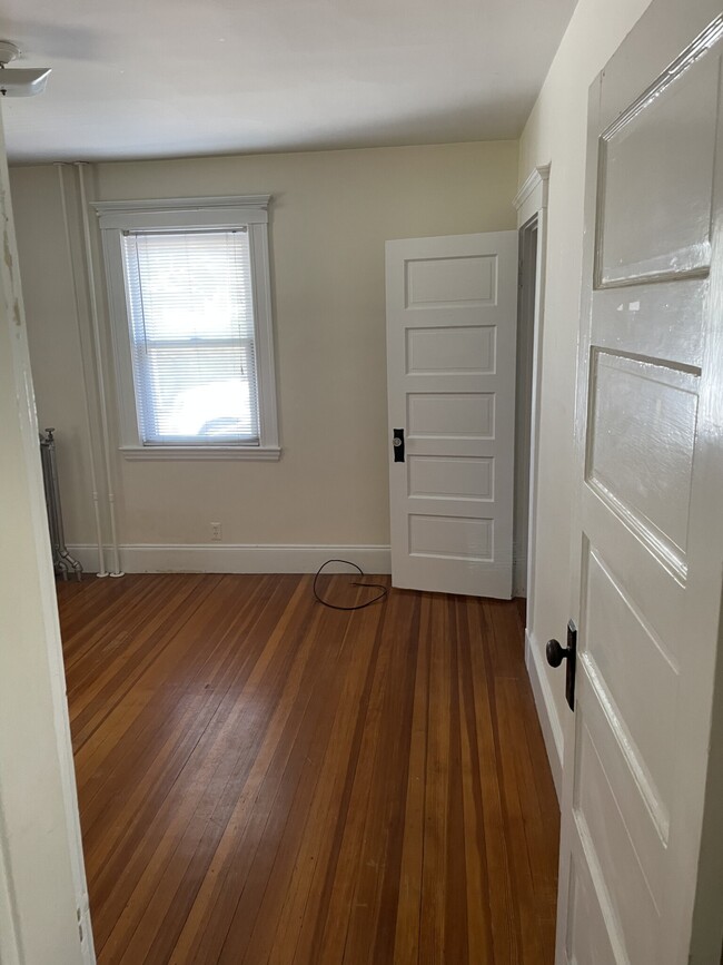
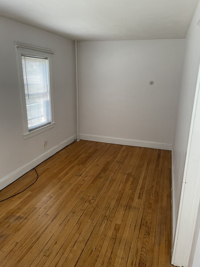
Bedrooms
2
-
Bathrooms
1
-
Square Feet
825 sq ft
-
Available
Available Jun 1
Highlight
- Pets Allowed
229 River St

Favorites
About This Home
12 Month Lease,
$2,400 deposit,
Available Jun 1
Move-in costs are the first month's rent, last month's rent, and the broker's fee
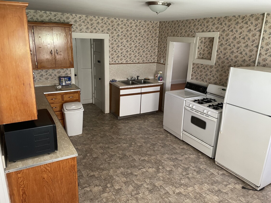
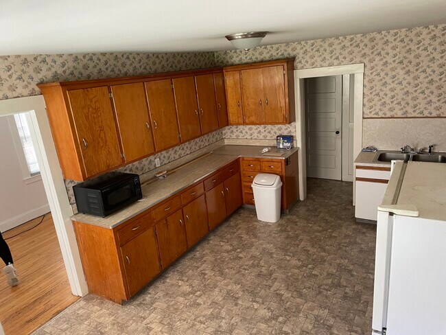
Available June 1st. Two beds, one bath in West Newton. Owner-occupied multifamily. Rent includes heat and hot water. Cats are allowed, and dogs are negotiable. Two outdoor parking spaces are included. Bus: 558 Lexington St @ River St (0.27 mi) Bus: 553 River St @ Sheridan St (0.02 mi)
229 River St is an apartment community located in Middlesex County and the 02465 ZIP Code.
* Price shown is base rent and may not include non-optional fees and utilities.
Price, availability, fees, and any applicable rent special are subject to change without notice.
* Square footage definitions vary. Displayed square footage is approximate.
Apartment Features
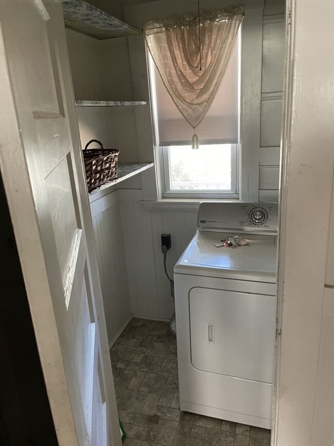
- Washer/Dryer
Fees and Policies
The fees below are based on community-supplied data and may exclude additional fees and utilities.
- Dogs Allowed
-
Fees not specified
- Cats Allowed
-
Fees not specified
Details
Utilities Included
-
Water
-
Heat
Property Information
-
2 units
Contact
- Contact
Location
Get Directions
An affluent suburb just 10 miles west of downtown Boston, Newton is a family-friendly area with plentiful amenities. Newton, Massachusetts houses part of Boston College, as well as a few private universities. Newton prides itself on its great public school district, Newton Public Schools, offering options like Newton South High School. Luxury apartment and condo rentals are spread throughout Newton, giving you a wide range of upscale options to choose from.
Residents appreciate access to the Massachusetts Bay Transportation Authority’s commuter rail, affording them easy commutes to neighboring areas. Enjoy shopping malls like the Shops at Chestnut Hill and Chestnut Hill Square for popular retailers and a variety of eateries. Get outdoors at Cold Spring Park, complete with nature trails and sports fields and courts.
Learn more about living in Newton
Education
| Colleges & Universities | Distance | ||
|---|---|---|---|
| Colleges & Universities | Distance | ||
| Drive: | 7 min | 2.6 mi | |
| Drive: | 8 min | 3.2 mi | |
| Drive: | 10 min | 4.7 mi | |
| Drive: | 11 min | 5.1 mi |
229 River St is within 7 minutes or 2.6 miles from Brandeis University. It is also near Bentley University and Boston College.
Transportation options available in Newton include Riverside Station, located 2.0 miles from 229 River St. 229 River St is near General Edward Lawrence Logan International, located 13.8 miles or 22 minutes away, and Worcester Regional, located 39.8 miles or 57 minutes away.
| Transit / Subway | Distance | ||
|---|---|---|---|
| Transit / Subway | Distance | ||
|
|
Drive: | 5 min | 2.0 mi |
|
|
Drive: | 4 min | 2.0 mi |
|
|
Drive: | 5 min | 2.6 mi |
|
|
Drive: | 8 min | 3.2 mi |
|
|
Drive: | 8 min | 3.3 mi |
| Commuter Rail | Distance | ||
|---|---|---|---|
| Commuter Rail | Distance | ||
|
|
Drive: | 4 min | 1.5 mi |
| Drive: | 4 min | 1.6 mi | |
|
|
Drive: | 6 min | 2.5 mi |
|
|
Drive: | 10 min | 5.9 mi |
|
|
Drive: | 11 min | 6.8 mi |
| Airports | Distance | ||
|---|---|---|---|
| Airports | Distance | ||
|
General Edward Lawrence Logan International
|
Drive: | 22 min | 13.8 mi |
|
Worcester Regional
|
Drive: | 57 min | 39.8 mi |
Time and distance from 229 River St.
| Shopping Centers | Distance | ||
|---|---|---|---|
| Shopping Centers | Distance | ||
| Drive: | 3 min | 1.3 mi | |
| Drive: | 5 min | 2.4 mi | |
| Drive: | 6 min | 2.4 mi |
229 River St has 3 shopping centers within 2.4 miles, which is about a 6-minute drive. The miles and minutes will be for the farthest away property.
| Parks and Recreation | Distance | ||
|---|---|---|---|
| Parks and Recreation | Distance | ||
|
Beaver Brook Reservation
|
Drive: | 8 min | 3.9 mi |
|
Hemlock Gorge Reservation
|
Drive: | 9 min | 3.9 mi |
|
Hammond Pond Reservation
|
Drive: | 9 min | 4.1 mi |
|
Land's Sake Farm
|
Drive: | 9 min | 4.4 mi |
|
Mass Audubon's Habitat Education Center and Wildlife Sanctuary
|
Drive: | 12 min | 5.7 mi |
229 River St has 5 parks within 5.7 miles, including Hemlock Gorge Reservation, Beaver Brook Reservation, and Hammond Pond Reservation.
| Hospitals | Distance | ||
|---|---|---|---|
| Hospitals | Distance | ||
| Drive: | 4 min | 1.6 mi | |
| Drive: | 4 min | 2.1 mi | |
| Drive: | 9 min | 4.3 mi |
229 River St has 3 hospitals within 4.3 miles, the nearest is Walden Behavioral Care which is 1.6 miles away and a 4 minute drive.
| Military Bases | Distance | ||
|---|---|---|---|
| Military Bases | Distance | ||
| Drive: | 19 min | 9.1 mi | |
| Drive: | 18 min | 9.8 mi |
229 River St is 9.1 miles from Hanscom Air Force Base, and is convenient to other military bases, including US Military Reservation.
Amenities
- Washer/Dryer
229 River St Photos
What Are Walk Score®, Transit Score®, and Bike Score® Ratings?
Walk Score® measures the walkability of any address. Transit Score® measures access to public transit. Bike Score® measures the bikeability of any address.
What is a Sound Score Rating?
A Sound Score Rating aggregates noise caused by vehicle traffic, airplane traffic and local sources

229 River St
Newton, MA 02465