
2049 Commonwealth Ave
Auburndale, MA 02466
-
Bedrooms
1
-
Bathrooms
1
-
Square Feet
9,999 sq ft
-
Available
Available Now

2 Available Units
Fees and Policies
The fees below are based on community-supplied data and may exclude additional fees and utilities.
- Cats Allowed
-
Fees not specified
-
Weight limit--
-
Pet Limit--
Details
Utilities Included
-
Gas
-
Water
-
Heat
Property Information
-
2 units
Contact
- Phone Number
- Contact
Auburndale, affectionately referred to as “The Dale” by locals, is one of 13 villages in the City of Newton. Situated near the intersection of Interstates 90 and 95, the Dale is surrounded by the City of Waltham and the Charles River as well as three other Newton villages including West Newton, Waban, and Newton Lower Falls. Getting around from the Dale is simple with access to the MBTA commuter rail.
The western end of Auburndale is well known for containing two historic parks, Norumbega Park and the Auburndale Cove Park and Playground, which offer plenty of options for outdoor recreation. The Auburndale Historic District is comprised of about 275 properties, many of which are on the National Register of Historic Places. Treasured resources like the Auburndale Community Library and Lasell College provide learning opportunities for the community.
Learn more about living in Auburndale| Colleges & Universities | Distance | ||
|---|---|---|---|
| Colleges & Universities | Distance | ||
| Drive: | 7 min | 2.9 mi | |
| Drive: | 9 min | 3.8 mi | |
| Drive: | 9 min | 5.1 mi | |
| Drive: | 12 min | 5.7 mi |


View GreatSchools Rating Methodology
Data provided by GreatSchools.org © 2025. All rights reserved.
Transportation options available in Auburndale include Riverside Station, located 1.0 miles from 2049 Commonwealth Ave. 2049 Commonwealth Ave is near General Edward Lawrence Logan International, located 14.0 miles or 22 minutes away, and Worcester Regional, located 38.7 miles or 55 minutes away.
| Transit / Subway | Distance | ||
|---|---|---|---|
| Transit / Subway | Distance | ||
|
|
Walk: | 20 min | 1.0 mi |
|
|
Drive: | 3 min | 1.5 mi |
|
|
Drive: | 5 min | 2.6 mi |
|
|
Drive: | 7 min | 3.4 mi |
|
|
Drive: | 7 min | 3.9 mi |
| Commuter Rail | Distance | ||
|---|---|---|---|
| Commuter Rail | Distance | ||
|
|
Drive: | 5 min | 2.2 mi |
| Drive: | 5 min | 2.2 mi | |
|
|
Drive: | 4 min | 2.5 mi |
|
|
Drive: | 10 min | 6.2 mi |
|
|
Drive: | 11 min | 7.0 mi |
| Airports | Distance | ||
|---|---|---|---|
| Airports | Distance | ||
|
General Edward Lawrence Logan International
|
Drive: | 22 min | 14.0 mi |
|
Worcester Regional
|
Drive: | 55 min | 38.7 mi |
Time and distance from 2049 Commonwealth Ave.
| Shopping Centers | Distance | ||
|---|---|---|---|
| Shopping Centers | Distance | ||
| Walk: | 1 min | 0.1 mi | |
| Drive: | 4 min | 2.2 mi | |
| Drive: | 4 min | 2.3 mi |
| Parks and Recreation | Distance | ||
|---|---|---|---|
| Parks and Recreation | Distance | ||
|
Land's Sake Farm
|
Drive: | 7 min | 3.4 mi |
|
Hemlock Gorge Reservation
|
Drive: | 9 min | 3.9 mi |
|
Beaver Brook Reservation
|
Drive: | 9 min | 4.5 mi |
|
Hammond Pond Reservation
|
Drive: | 9 min | 4.5 mi |
|
Cutler Park Reservation
|
Drive: | 10 min | 5.9 mi |
| Hospitals | Distance | ||
|---|---|---|---|
| Hospitals | Distance | ||
| Drive: | 3 min | 1.5 mi | |
| Drive: | 5 min | 2.3 mi | |
| Drive: | 10 min | 4.9 mi |
| Military Bases | Distance | ||
|---|---|---|---|
| Military Bases | Distance | ||
| Drive: | 16 min | 9.2 mi | |
| Drive: | 18 min | 10.0 mi |
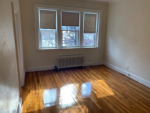
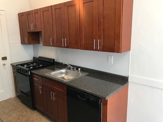
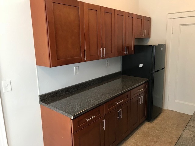
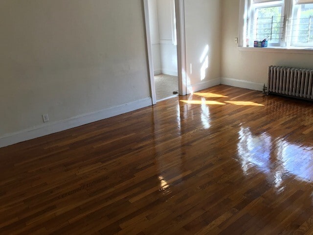
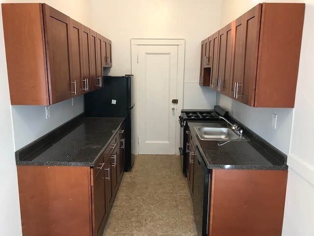
2049 Commonwealth Ave Photos
2049 Commonwealth Ave Auburndale, MA 02466 has one bedroom available with rent ranges from $2,125/mo. to $2,425/mo.
Yes, to view the floor plan in person, please schedule a personal tour.
What Are Walk Score®, Transit Score®, and Bike Score® Ratings?
Walk Score® measures the walkability of any address. Transit Score® measures access to public transit. Bike Score® measures the bikeability of any address.
What is a Sound Score Rating?
A Sound Score Rating aggregates noise caused by vehicle traffic, airplane traffic and local sources
2049 Commonwealth Ave
Auburndale, MA 02466