

$2,450
Total Monthly PriceBase Rent$2,450
Required Monthly FeesNone
Total Monthly Price$2,450
12 Month Lease
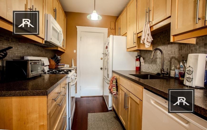
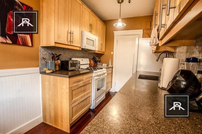
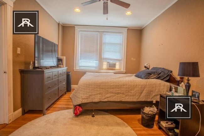
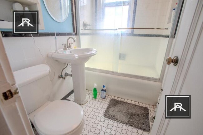
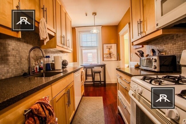
2 Beds, 1 Bath, 1,000 sq ft
Condo for Rent


