

$4,295 / Month

17420 Smoke Tree Ln

,

Santa Clarita, CA 91387

Share Listing
Favorites
661-430-5355
  • Bedrooms

    4

  • Bathrooms

    3

  • Square Feet

    2,264 sq ft

  • Available

    Available Aug 10

17420 Smoke Tree Ln
Share Listing
Favorites

About This Home

Available Aug 10

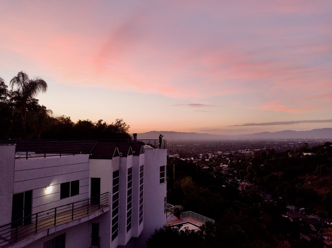
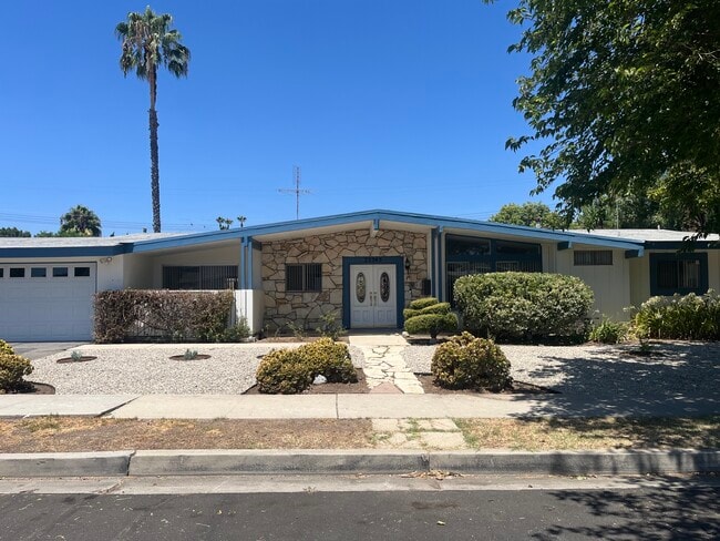
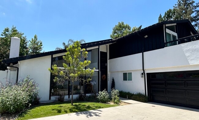
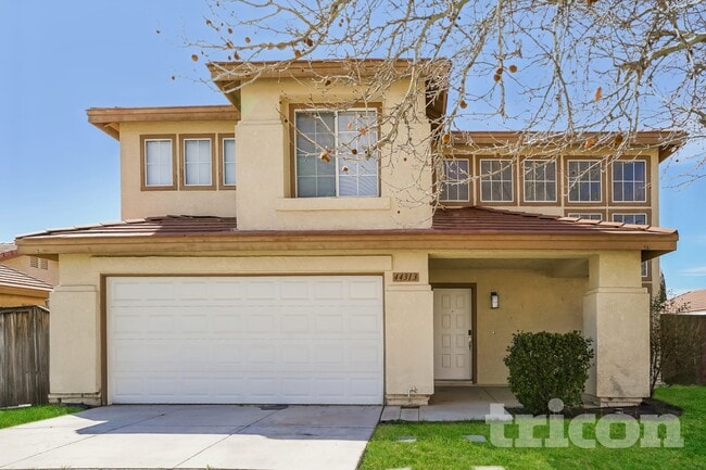
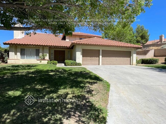
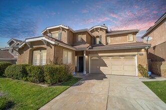
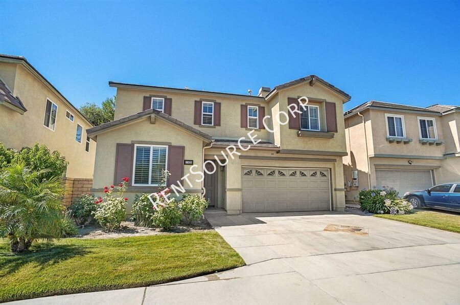
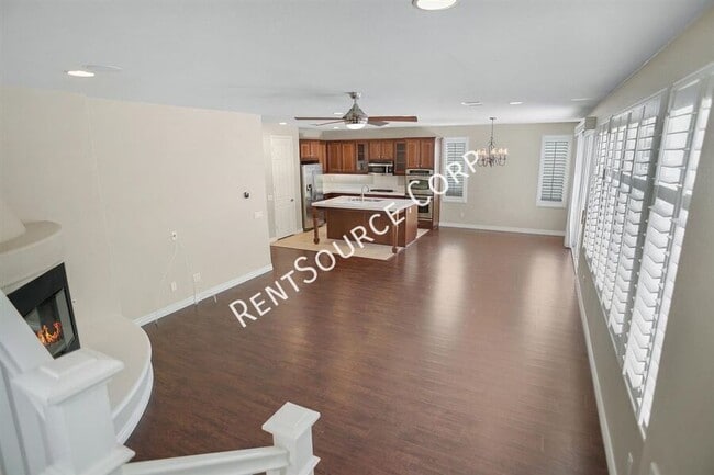
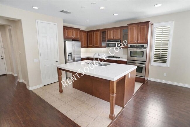
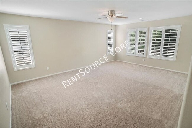
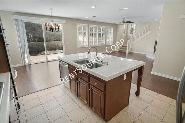
Santa Clarita Rental located just off of Lost Canyon and Medley Ridge Parkway in Canyon Country. This home features 4 bedrooms, 3 full baths and 2,264 sq. ft. of living space. One full bed and bath are downstairs, 2 car direct access garage, laminate flooring, granite countertops, stainless steel appliances, upstairs laundry room, neutral paint, neutral carpet and full hardscaped backyard. HOA and Gardener Included Refrigerator Included with Warranty No pets please Washer/Dryer Included (no warranty) Available August 10, 2026 Please visit

17420 Smoke Tree Ln is a house located in Los Angeles County and the 91387 ZIP Code. This area is served by the William S. Hart Union High School District attendance zone.

* Price shown is base rent. Excludes user-selected optional fees and variable or usage-based fees and required charges due at or prior to move-in or at move-out. Price, availability, fees, and any applicable rent special are subject to change without notice.
* Square footage definitions vary. Displayed square footage is approximate.

Contact

  • Listed by RentSource | RentSource Corp
  • Phone Number
  • Contact
| Edit

Under 30 minutes

Commute Time is calculated at rush hour.
Neighborhood

Situated in Southern California, Santa Clarita Valley is an opulent suburb surrounded by nature preserves. The northern section of the region encompasses Castaic Lake State Recreation Park, while the eastern and western sides of the area are bordered by the Santa Clarita Woodlands Park and the Golden Valley Ranch Open Space. Also located in the valley are meandering trails that follow along the river and connect to scenic community parks. Located just 35 miles north of Los Angeles, Santa Clarita offers more than the great outdoors. Places like Six Flags Magic Mountain, sprawling golf courses, and premier shopping at plazas like Westfield Valencia Town Center are all located within Santa Clarita Valley. More shopping and retail centers can be found off Lyons Avenue and Soledad Canyon Road, while Main Street’s locally owned cafes, specialty shops, and restaurants provide a nice contrast to large commercial plazas.

Learn more about living in Santa Clarita Valley 
Education
Colleges & Universities Distance
Drive: 19 min 10.0 mi
Drive: 18 min 13.9 mi
Drive: 25 min 15.2 mi
Drive: 28 min 21.2 mi
17420 Smoke Tree Ln is within 19 minutes or 10.0 miles from College of the Canyons. It is also near Mission College and Cal State Northridge.
Schools
Public Elementary School
Grades K-5
866 Students
Attendance Zone
Public Elementary, Middle & High School
Grades PK-12
5,705 Students
Nearby
Public Middle School
Grades 6-8
1,017 Students
Attendance Zone
Public High School
Grades 9-12
1,980 Students
Attendance Zone
Public High School
Grades 9-12
385 Students
Attendance Zone
Private Elementary, Middle & High School
Grades K-12
Nearby
Private Elementary School
Grades PK-5
28 Students
Nearby
Transportation

17420 Smoke Tree Ln is near Bob Hope, located 20.8 miles or 27 minutes away, and Los Angeles International, located 37.9 miles or 49 minutes away.

Commuter Rail Distance
Walk: 16 min 0.9 mi
Drive: 4 min 2.2 mi
Drive: 10 min 6.0 mi
Drive: 11 min 6.9 mi
Drive: 18 min 12.9 mi
Airports Distance
Airports Distance
Bob Hope
Drive: 27 min 20.8 mi
Los Angeles International
Drive: 49 min 37.9 mi
Getting Around
Somewhat Walkable
Walkability
30 / 100
Minimal Public Transit
Transit
10 / 100
Exceptionally Drivable
Drivability
100 / 100
Fairly Bikeable
Bikeability
40 / 100

Scores provided by

What do Walkability, Transit, Drivability, and Bikeability mean? Walkability measures the walking distance to day-to-day needs. Transit measures access to public transportation. Drivability measures congestion, parking availability, and access to major roads. Bikeability measures the suitability for cycling. How It Works
-
Soundscore
- / 100

Traffic

-

Airport

-

Businesses

-

Scores provided by

HowLoud What is a Sound Score Rating? A Sound Score Rating aggregates noise caused by vehicle traffic, airplane traffic and local sources. How It Works
Points of Interest

Time and distance from 17420 Smoke Tree Ln.

Shopping Centers Distance
Drive: 3 min 1.8 mi
Drive: 3 min 1.9 mi
Drive: 4 min 2.0 mi
17420 Smoke Tree Ln has 3 shopping centers within 2.0 miles, which is about a 4-minute drive. The miles and minutes will be for the farthest away property.
Parks and Recreation Distance
Placerita Canyon Nature Center
Drive: 9 min 5.7 mi
William S. Hart Regional Park
Drive: 11 min 6.7 mi
Placerita Canyon State Park
Drive: 11 min 7.1 mi
El Cariso Regional Park
Drive: 18 min 14.0 mi
Veterans Memorial Park
Drive: 23 min 14.6 mi
17420 Smoke Tree Ln has 5 parks within 14.6 miles, including Placerita Canyon State Park, Placerita Canyon Nature Center, and William S. Hart Regional Park.
Hospitals Distance
Hospitals Distance
Drive: 15 min 8.9 mi
Drive: 17 min 12.2 mi
Drive: 16 min 12.6 mi
17420 Smoke Tree Ln has 3 hospitals within 12.6 miles, the nearest is Henry Mayo Newhall Hospital which is 8.9 miles away and a 15 minute drive.
Military Bases Distance
Drive: 49 min 40.5 mi
Drive: 84 min 51.9 mi
Drive: 82 min 55.8 mi
17420 Smoke Tree Ln has 3 military bases within 55.8 miles, the nearest is Los Angeles Air Force Base which is 40.5 miles away and a 49 minute drive.

You May Also Like

Similar Rentals Nearby