1653 Randolph Ave
Saint Paul, MN 55105
-
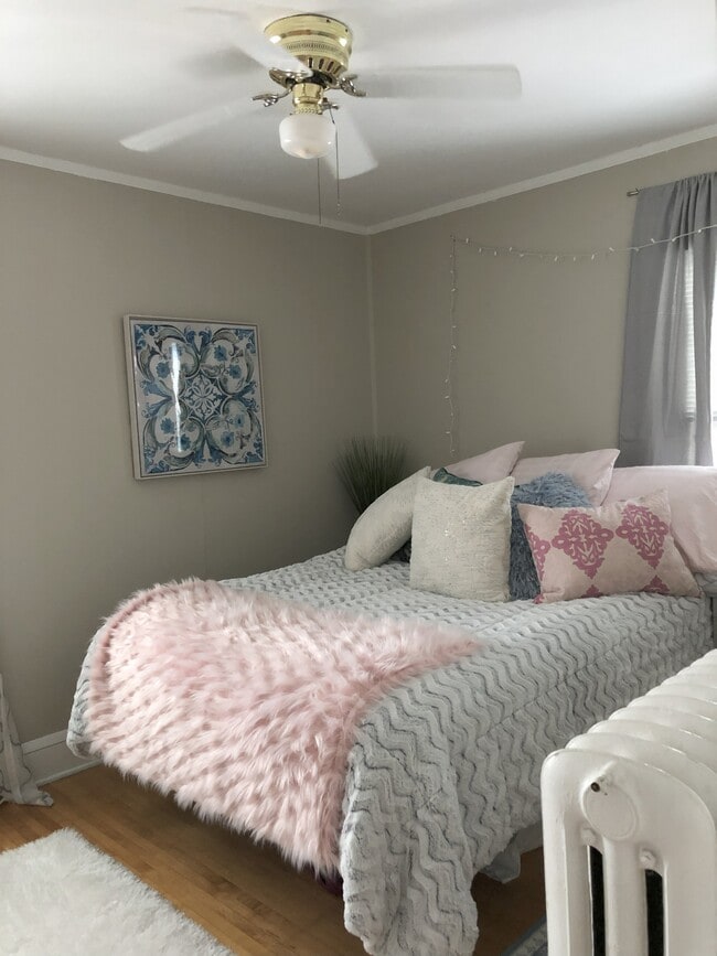
Bedrooms
2
-
Bathrooms
1
-
Square Feet
920 sq ft
-
Available
Available Oct 1, 2026

1653 Randolph Ave is a house located in Ramsey County and the 55105 ZIP Code.
House Features
- High Speed Internet Access
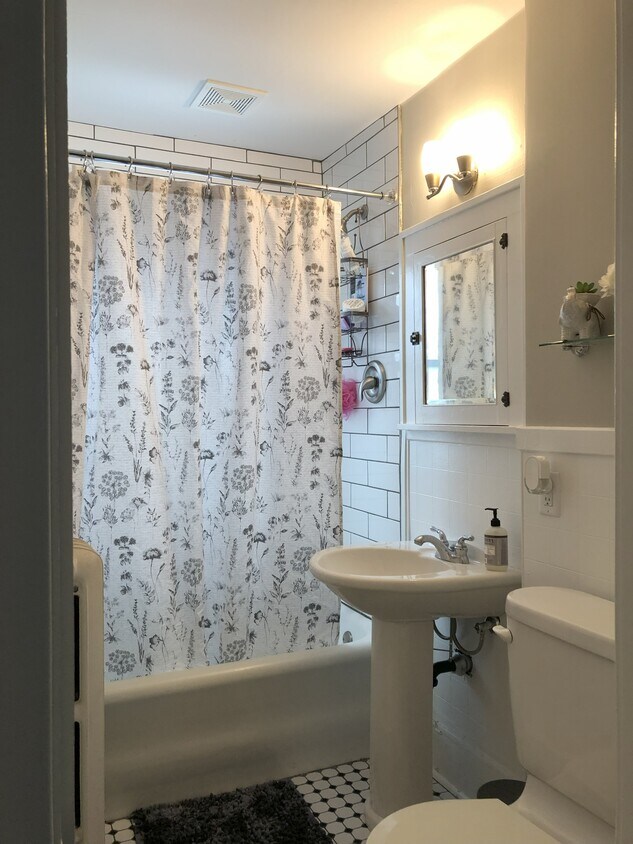
- Tub/Shower
Fees and Policies
The fees below are based on community-supplied data and may exclude additional fees and utilities.
- Parking
-
Street--
Details
Utilities Included
-
Trash Removal
-
Sewer
Contact
- Contact
Macalester-Groveland, sometimes shortened to Mac-Grove, stretches from the eastern banks of the Mississippi River to Summit Hill. Mac-Grove is a largely residential neighborhood, touting an array of apartments and single-family homes available for rent.
The neighborhood contains the picturesque Summit Avenue Historic District, which boasts an impressive collection of Victorian-era homes between dense canopies of lush trees. One block south of Summit Avenue is the vibrant Grand Avenue, which is teeming with specialty shops, independent coffeehouses, and eclectic eateries.
Mac-Grove is famously convenient to multiple private colleges, including the University of Saint Thomas, Saint Catherine University, and Macalester College, making the neighborhood a top choice for many students, faculty, and staff. The community celebrates the start of the summer season every year with the annual Grand Old Day Festival.
Learn more about living in Macalester-Groveland| Colleges & Universities | Distance | ||
|---|---|---|---|
| Colleges & Universities | Distance | ||
| Walk: | 16 min | 0.8 mi | |
| Walk: | 18 min | 1.0 mi | |
| Drive: | 4 min | 2.1 mi | |
| Drive: | 4 min | 2.2 mi |
Transportation options available in Saint Paul include Snelling Ave Station, located 2.2 miles from 1653 Randolph Ave. 1653 Randolph Ave is near Minneapolis-St Paul International/Wold-Chamberlain, located 5.8 miles or 12 minutes away.
| Transit / Subway | Distance | ||
|---|---|---|---|
| Transit / Subway | Distance | ||
| Drive: | 5 min | 2.2 mi | |
| Drive: | 5 min | 2.4 mi | |
| Drive: | 5 min | 2.6 mi | |
| Drive: | 6 min | 3.1 mi | |
|
|
Drive: | 9 min | 3.8 mi |
| Commuter Rail | Distance | ||
|---|---|---|---|
| Commuter Rail | Distance | ||
|
|
Drive: | 10 min | 5.0 mi |
|
|
Drive: | 17 min | 8.5 mi |
|
|
Drive: | 25 min | 17.0 mi |
|
|
Drive: | 35 min | 25.8 mi |
|
|
Drive: | 36 min | 27.5 mi |
| Airports | Distance | ||
|---|---|---|---|
| Airports | Distance | ||
|
Minneapolis-St Paul International/Wold-Chamberlain
|
Drive: | 12 min | 5.8 mi |
Time and distance from 1653 Randolph Ave.
| Shopping Centers | Distance | ||
|---|---|---|---|
| Shopping Centers | Distance | ||
| Walk: | 19 min | 1.0 mi | |
| Drive: | 4 min | 1.4 mi | |
| Drive: | 4 min | 1.6 mi |
| Parks and Recreation | Distance | ||
|---|---|---|---|
| Parks and Recreation | Distance | ||
|
Macalester College Observatory
|
Walk: | 16 min | 0.9 mi |
|
Highland Park and Golf Course
|
Drive: | 4 min | 1.9 mi |
|
Hidden Falls Park
|
Drive: | 8 min | 2.7 mi |
|
Crosby Farm Regional Park
|
Drive: | 7 min | 3.0 mi |
|
Hiawatha School Park
|
Drive: | 8 min | 3.3 mi |
| Hospitals | Distance | ||
|---|---|---|---|
| Hospitals | Distance | ||
| Drive: | 7 min | 3.5 mi | |
| Drive: | 8 min | 4.2 mi | |
| Drive: | 9 min | 4.7 mi |
| Military Bases | Distance | ||
|---|---|---|---|
| Military Bases | Distance | ||
| Drive: | 11 min | 4.5 mi |
- High Speed Internet Access
- Tub/Shower
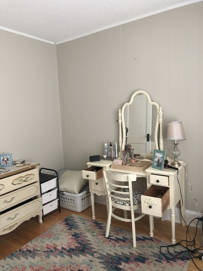
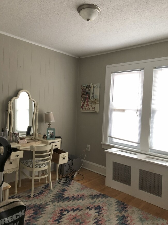
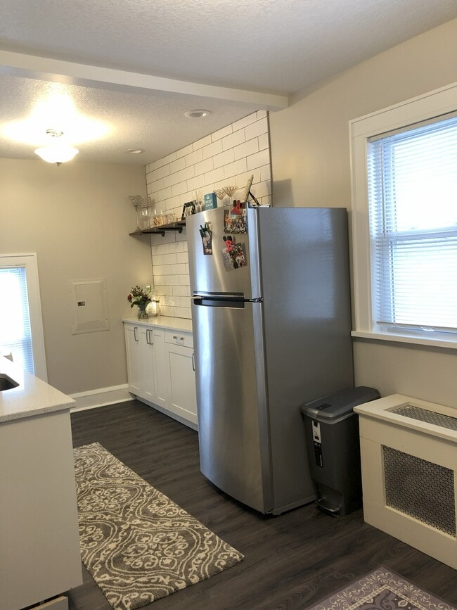
1653 Randolph Ave Photos
What Are Walk Score®, Transit Score®, and Bike Score® Ratings?
Walk Score® measures the walkability of any address. Transit Score® measures access to public transit. Bike Score® measures the bikeability of any address.
What is a Sound Score Rating?
A Sound Score Rating aggregates noise caused by vehicle traffic, airplane traffic and local sources

1653 Randolph Ave
Saint Paul, MN 55105