
The Vitagraph
1277 E 14th St,
Brooklyn, NY 11230
$3,707 - $4,000
3 Beds
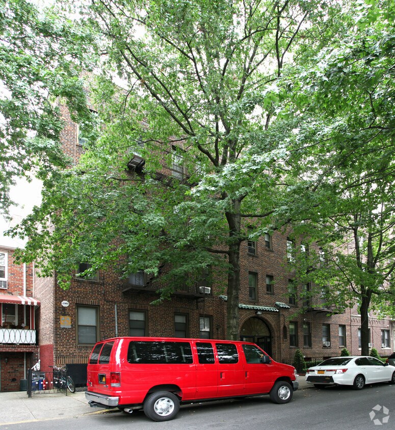
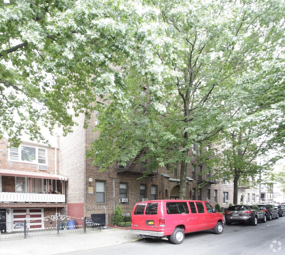
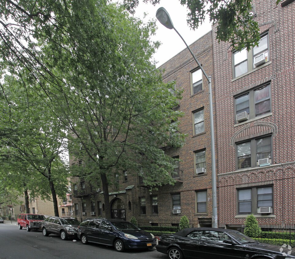
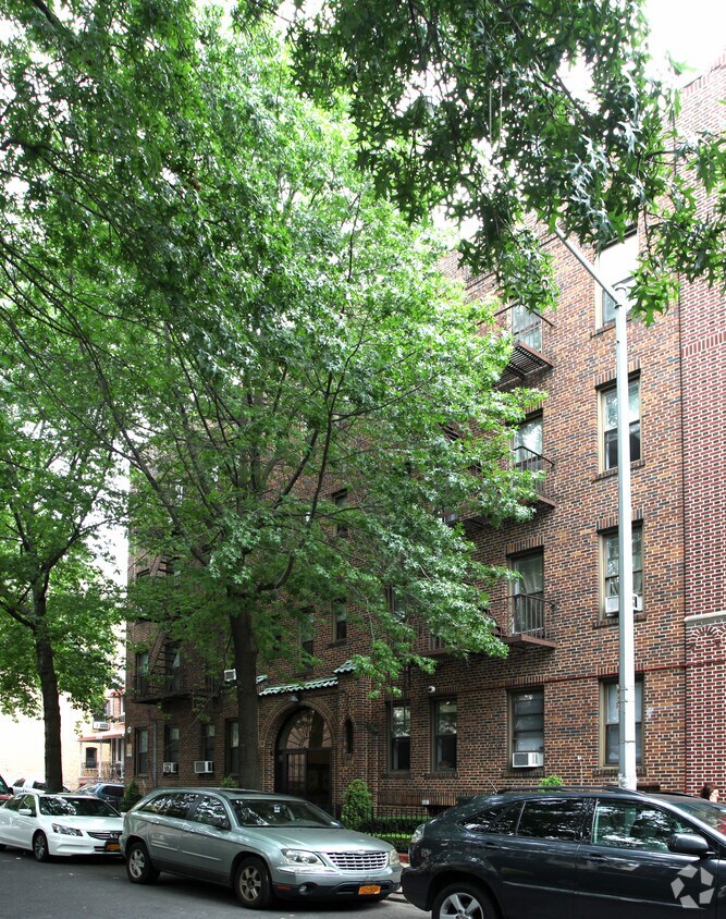
1629 W 10th St in Brooklyn is ready for you to move in. Located at 1629 W. 10th St. in Brooklyn, this community is an ideal place for residents. The community staff is ready and waiting for you to visit. Make a visit to check out the apartment floorplan options. Start living the good life at 1629 W 10th St. Contact or drop by the leasing office to find out current pricing.
1629 W 10th St is an apartment community located in Kings County and the 11223 ZIP Code. This area is served by the New York City Geographic District #21 attendance zone.
Refrigerator
Tub/Shower
Heating
Oven
Gravesend is one of the oldest neighborhoods on Long Island and in the nation. The neighborhood rests at the southern tip of Brooklyn on Gravesend Bay, just a mile north of the iconic Coney Island. Just steps from the water, the neighborhood attracts many visitors due to the proximity of Coney Island and the boardwalk. Along with multiple historic homes, Gravesend rentals are known for being more spacious and affordable compared to other areas in Brooklyn and neighboring boroughs. There are an array of townhomes, apartments, and condos for rent in Gravesend.
There are great shopping options in and around Gravesend as well. Restaurants of every cuisine frequent the area as do plenty of bars and nightclubs, providing a vibrant nightlife scene. Along with lower rents and more space, residents enjoy having multiple subway stations in the neighborhood allowing for easy travel into Manhattan and other areas via a quick train ride.
Learn more about living in Gravesend| Colleges & Universities | Distance | ||
|---|---|---|---|
| Colleges & Universities | Distance | ||
| Drive: | 8 min | 3.6 mi | |
| Drive: | 11 min | 4.7 mi | |
| Drive: | 13 min | 5.5 mi | |
| Drive: | 16 min | 7.2 mi |


Transportation options available in Brooklyn include Kings Highway (N Line), located 0.3 mile from 1629 W 10th St. 1629 W 10th St is near John F Kennedy International, located 14.7 miles or 26 minutes away, and Newark Liberty International, located 22.1 miles or 36 minutes away.
| Transit / Subway | Distance | ||
|---|---|---|---|
| Transit / Subway | Distance | ||
|
|
Walk: | 5 min | 0.3 mi |
|
|
Walk: | 9 min | 0.5 mi |
|
|
Walk: | 12 min | 0.6 mi |
|
|
Walk: | 14 min | 0.8 mi |
|
|
Walk: | 16 min | 0.8 mi |
| Commuter Rail | Distance | ||
|---|---|---|---|
| Commuter Rail | Distance | ||
|
|
Drive: | 16 min | 6.7 mi |
|
|
Drive: | 14 min | 7.0 mi |
|
|
Drive: | 15 min | 7.4 mi |
|
|
Drive: | 17 min | 8.1 mi |
|
|
Drive: | 19 min | 8.7 mi |
| Airports | Distance | ||
|---|---|---|---|
| Airports | Distance | ||
|
John F Kennedy International
|
Drive: | 26 min | 14.7 mi |
|
Newark Liberty International
|
Drive: | 36 min | 22.1 mi |
Time and distance from 1629 W 10th St.
| Shopping Centers | Distance | ||
|---|---|---|---|
| Shopping Centers | Distance | ||
| Drive: | 4 min | 1.5 mi | |
| Drive: | 5 min | 2.1 mi | |
| Drive: | 6 min | 2.4 mi |
| Parks and Recreation | Distance | ||
|---|---|---|---|
| Parks and Recreation | Distance | ||
|
Calvert Vaux Park
|
Drive: | 5 min | 2.4 mi |
|
New York Aquarium
|
Drive: | 6 min | 2.7 mi |
|
Asser Levy Park
|
Drive: | 6 min | 2.9 mi |
|
Leon S. Kaiser Park
|
Drive: | 7 min | 2.9 mi |
|
Dyker Beach Park
|
Drive: | 7 min | 3.0 mi |
| Hospitals | Distance | ||
|---|---|---|---|
| Hospitals | Distance | ||
| Drive: | 5 min | 2.4 mi | |
| Drive: | 6 min | 2.7 mi | |
| Drive: | 8 min | 3.5 mi |
| Military Bases | Distance | ||
|---|---|---|---|
| Military Bases | Distance | ||
| Drive: | 9 min | 3.5 mi | |
| Drive: | 18 min | 8.3 mi |
What Are Walk Score®, Transit Score®, and Bike Score® Ratings?
Walk Score® measures the walkability of any address. Transit Score® measures access to public transit. Bike Score® measures the bikeability of any address.
What is a Sound Score Rating?
A Sound Score Rating aggregates noise caused by vehicle traffic, airplane traffic and local sources


