

$1,999
/ Month
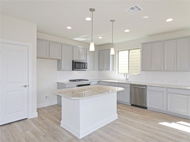
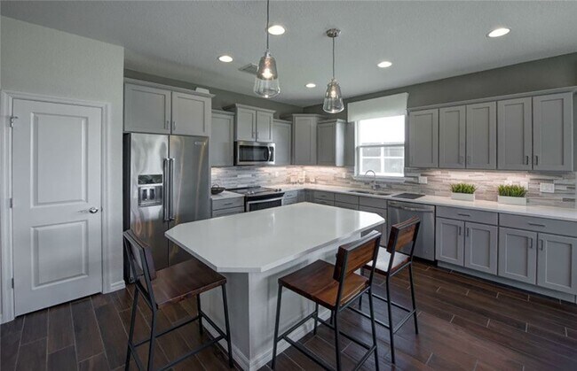
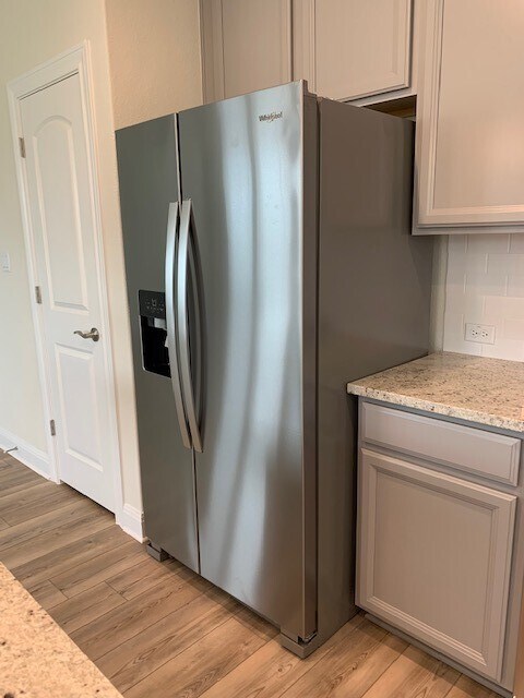
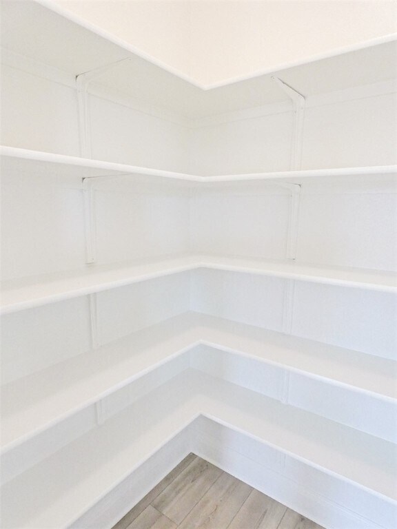
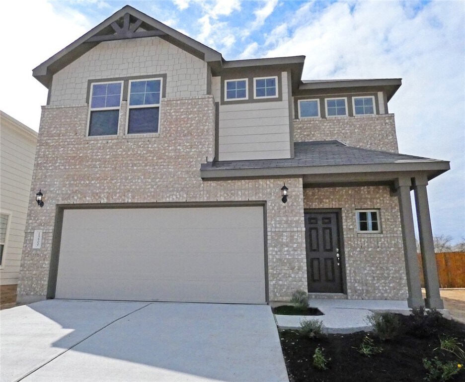
15800 Celosia St
Austin, TX 78728
Favorites
-
Bedrooms
3
-
Bathrooms
3
-
Square Feet
1,846 sq ft
15800 Celosia St

Favorites
Contact
- Listed by Locayt
Location
Get Directions
Located about 15 miles north of Downtown Austin and five miles south of Round Rock, Wells Branch is a family-friendly suburb with plenty to see and do. Residents have their choice of a wide variety of apartments and single-family houses available for rent in Wells Branch.
The area offers a delightful suburban experience, with peaceful neighborhoods, scenic parks, and plenty of convenient shopping opportunities. Recreational options abound at Katherine Fleischer Park, Mills Pond Recreation Area, and Wells Branch Disc Golf Course, where residents often gather to enjoy the outdoors. Getting around from Wells Branch is a breeze with quick access to I-35 and the MoPac Expressway.
Learn more about living in Wells Branch
Education
| Colleges & Universities | Distance | ||
|---|---|---|---|
| Colleges & Universities | Distance | ||
| Drive: | 5 min | 2.2 mi | |
| Drive: | 12 min | 6.2 mi | |
| Drive: | 17 min | 11.0 mi | |
| Drive: | 17 min | 11.2 mi |
15800 Celosia St is within 5 minutes or 2.2 miles from The Art Institute of Austin. It is also near Austin C.C., Northridge Campus and Austin C.C., Round Rock Campus.
Transportation options available in Austin include Howard Station, located 3.0 miles from 15800 Celosia St. 15800 Celosia St is near Austin-Bergstrom International, located 25.7 miles or 38 minutes away.
| Transit / Subway | Distance | ||
|---|---|---|---|
| Transit / Subway | Distance | ||
| Drive: | 7 min | 3.0 mi | |
| Drive: | 13 min | 7.0 mi | |
| Drive: | 13 min | 7.6 mi | |
| Drive: | 15 min | 7.7 mi | |
| Drive: | 16 min | 11.3 mi |
| Commuter Rail | Distance | ||
|---|---|---|---|
| Commuter Rail | Distance | ||
|
|
Drive: | 24 min | 16.9 mi |
|
|
Drive: | 30 min | 22.4 mi |
| Airports | Distance | ||
|---|---|---|---|
| Airports | Distance | ||
|
Austin-Bergstrom International
|
Drive: | 38 min | 25.7 mi |
Getting Around
 What do Walkability, Transit, Drivability, and Bikeability mean?
Walkability measures the walking distance to day-to-day needs.
Transit measures access to public transportation.
Drivability measures congestion, parking availability, and access to major roads.
Bikeability measures the suitability for cycling.
How It Works
What do Walkability, Transit, Drivability, and Bikeability mean?
Walkability measures the walking distance to day-to-day needs.
Transit measures access to public transportation.
Drivability measures congestion, parking availability, and access to major roads.
Bikeability measures the suitability for cycling.
How It Works
Somewhat Walkable
Walkability
30
/ 100
Minimal Public Transit
Transit
0
/ 100
Very Drivable
Drivability
80
/ 100
Fairly Bikeable
Bikeability
40
/ 100
Scores provided by
-
Soundscore™
-
/ 100
Traffic
-Airport
-Businesses
-Scores provided by
HowLoud What is a Sound Score Rating? A Sound Score Rating aggregates noise caused by vehicle traffic, airplane traffic and local sources. How It WorksTime and distance from 15800 Celosia St.
| Shopping Centers | Distance | ||
|---|---|---|---|
| Shopping Centers | Distance | ||
| Drive: | 3 min | 1.6 mi | |
| Drive: | 4 min | 2.0 mi | |
| Drive: | 6 min | 2.6 mi |
15800 Celosia St has 3 shopping centers within 2.6 miles, which is about a 6-minute drive. The miles and minutes will be for the farthest away property.
| Parks and Recreation | Distance | ||
|---|---|---|---|
| Parks and Recreation | Distance | ||
|
Walnut Creek Park
|
Drive: | 9 min | 5.3 mi |
|
Balcones District Park
|
Drive: | 11 min | 6.2 mi |
|
Copperfield Nature Trail and Park
|
Drive: | 11 min | 7.0 mi |
|
The Stephen F. Austin Planetarium
|
Drive: | 12 min | 7.4 mi |
|
Great Hills Park
|
Drive: | 19 min | 10.2 mi |
15800 Celosia St has 5 parks within 10.2 miles, including Walnut Creek Park, Balcones District Park, and Copperfield Nature Trail and Park.
| Hospitals | Distance | ||
|---|---|---|---|
| Hospitals | Distance | ||
| Drive: | 9 min | 5.4 mi | |
| Drive: | 9 min | 5.4 mi | |
| Drive: | 13 min | 7.3 mi |
15800 Celosia St has 3 hospitals within 7.3 miles, the nearest is North Austin Medical Center which is 5.4 miles away and a 9 minute drive.
| Military Bases | Distance | ||
|---|---|---|---|
| Military Bases | Distance | ||
| Drive: | 77 min | 60.9 mi | |
| Drive: | 97 min | 81.0 mi | |
| Drive: | 124 min | 98.1 mi |
15800 Celosia St has 3 military bases within 98.1 miles, the nearest is Fort Hood which is 60.9 miles away and a 77 minute drive.
You May Also Like
Similar Rentals Nearby


What Are Walk Score®, Transit Score®, and Bike Score® Ratings?
Walk Score® measures the walkability of any address. Transit Score® measures access to public transit. Bike Score® measures the bikeability of any address.
What is a Sound Score Rating?
A Sound Score Rating aggregates noise caused by vehicle traffic, airplane traffic and local sources.
15800 Celosia St
Austin, TX 78728