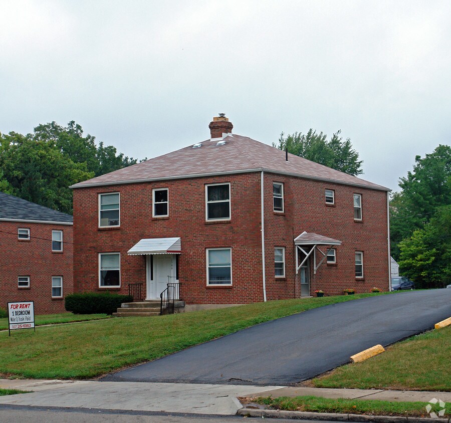
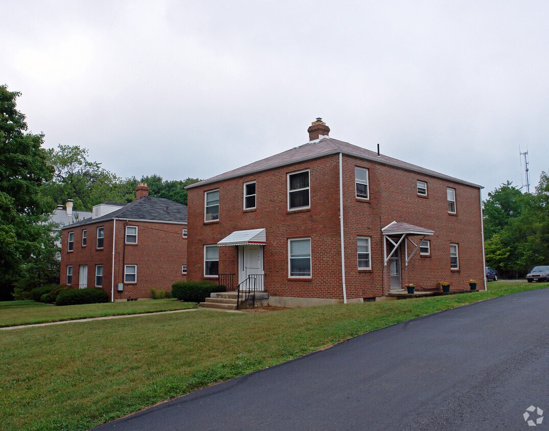
1566 E High St
1566 E High St,
Springfield,
OH
45505
2 Weeks Ago
Favorites
1566 E High St
Favorites
Check Back Soon for Upcoming Availability
Fees and Policies
The fees below are based on community-supplied data and may exclude additional fees and utilities.
- Parking
-
Surface Lot--1 Max
Details
Property Information
-
Built in 1946
-
4 units/2 stories
About 1566 E High St Springfield, OH 45505
Find true Springfield living at 1566 E High St. With a location on E. High St. in Springfield's 45505 Zip code, local residents can easily connect with a number of highlights and attractions. The team of leasing professionals is ready to help you find your perfect floorplan option. Be sure to come for a visit to view the available floorplans. It's all waiting for you at 1566 E High St. Stop by the leasing office to check the availability and schedule a tour today.
1566 E High St is an apartment community located in Clark County and the 45505 ZIP Code. This area is served by the Springfield City attendance zone.
Location
Get Directions
With sprawling residential neighborhoods, a wide variety of schools, and a bustling central commercial district, Springfield is a spectacular place to call home in the suburbs of Ohio. Situated about 25 miles northeast of Dayton and the Dayton International Airport, and 45 miles west of Columbus, residents of this popular suburb have access to big cities, transportation hubs, and even the capital of Ohio.
Housing Wittenberg University and Clark State Community College, Springfield is a diverse city with over 40 different neighborhoods, each with its own unique character, including two historic districts. Historic homes area spread throughout the community, including Frank Lloyd Wright’s Westcott House, a former architect, that’s become a historical landmark from the early 1900s.
Continue exploring Ohio’s rich history at the Hartman Rock Garden from the early 20th century, and be sure to visit the Springfield Museum of Art after you move to town.
Learn more about living in Springfield
Education
| Colleges & Universities | Distance | ||
|---|---|---|---|
| Colleges & Universities | Distance | ||
| Drive: | 6 min | 2.3 mi | |
| Drive: | 10 min | 4.1 mi | |
| Drive: | 25 min | 13.4 mi | |
| Drive: | 34 min | 18.8 mi |
1566 E High St is within 6 minutes or 2.3 miles from Wittenberg University. It is also near Clark State Community College and Cedarville University.
Schools


Public Elementary School
Grades K-6
383 Students
Attendance Zone
Public Elementary School
Grades PK-6
177 Students
Nearby
Public Middle School
Grades 7-8
268 Students
Attendance Zone
Public High School
Grades 9-12
1,516 Students
Attendance Zone
Private Elementary, Middle & High School
Grades PK-12
551 Students
Nearby
Private Elementary, Middle & High School
Grades K-12
499 Students
Nearby
School data provided by
 The GreatSchools Rating helps parents compare schools within a state based on a variety of school quality indicators and provides a helpful picture of how effectively each school serves all of its students. Ratings are on a scale of 1 (below average) to 10 (above average) and can include test scores, college readiness, academic progress, advanced courses, equity, discipline and attendance data. We also advise parents to visit schools, consider other information on school performance and programs, and consider family needs as part of the school selection process.
View GreatSchools Rating Methodology
Data provided by GreatSchools.org © 2025. All rights reserved.
View GreatSchools Rating Methodology
Data provided by GreatSchools.org © 2025. All rights reserved.
You May Also Like
Similar Rentals Nearby


What Are Walk Score®, Transit Score®, and Bike Score® Ratings?
Walk Score® measures the walkability of any address. Transit Score® measures access to public transit. Bike Score® measures the bikeability of any address.
What is a Sound Score Rating?
A Sound Score Rating aggregates noise caused by vehicle traffic, airplane traffic and local sources
Responded To This Review