
Junction at 7760
7760 McCallum Blvd,
Dallas, TX 75252
$735 - $983
Studio - 1 Bed

Available now, newly remodeled Micro Flats located just minutes from Downtown, Deep Ellum and The Arts District. These trendsetting designs offer a hyper stylish opportunity to lower your eco footprint. At 525 Sq. Ft., each smart layout offers an open floor plan with barn doors to create 2 separate areas, Complete kitchen with a full suite of SS appliances, Hardwoods, beautiful designer bathrooms and a washer/dryer is included with each space. Call now to arrange a showing.
1515 Bennett Ave is an apartment community located in Dallas County and the 75206 ZIP Code. This area is served by the Dallas Independent attendance zone.
Washer/Dryer
Air Conditioning
Dishwasher
Hardwood Floors
Walk-In Closets
Granite Countertops
Microwave
Refrigerator
Snug between Uptown and Lower Greenville, Knox/Henderson borrows a little from both -- the restaurant scene and walkability of Uptown with the live music and endless entertainment of Lower Greenville -- to deliver the perfect neighborhood. It's no wonder it's a Dallas favorite, from its restaurants like Café Madrid, Chelsea Corner, and the Porch to the Katy Trail, a 3.5-mile paved walking and bicycling path that runs through Dallas.
Knox/Henderson is located around the merging of Knox Street with Henderson Avenue along Highway 75. The heart of the neighborhood, Greenville Avenue, features funky sidewalk cafes and art galleries along brick-paved sidewalks. The abundance of bike racks and period lighting help solidify this area's cool factor. The residential side of Knox/Henderson offers a unique blend of charming bungalows, townhomes, and modern apartment buildings -- often side-by-side for a unique look with ample character.
Learn more about living in Knox Henderson| Colleges & Universities | Distance | ||
|---|---|---|---|
| Colleges & Universities | Distance | ||
| Drive: | 3 min | 1.3 mi | |
| Drive: | 7 min | 2.8 mi | |
| Drive: | 7 min | 3.6 mi | |
| Drive: | 11 min | 4.6 mi |


Transportation options available in Dallas include Cityplace (Mckinney Avenue), located 1.8 miles from 1515 Bennett Ave. 1515 Bennett Ave is near Dallas Love Field, located 5.9 miles or 14 minutes away, and Dallas-Fort Worth International, located 22.0 miles or 32 minutes away.
| Transit / Subway | Distance | ||
|---|---|---|---|
| Transit / Subway | Distance | ||
|
|
Drive: | 4 min | 1.8 mi |
|
|
Drive: | 5 min | 1.9 mi |
|
|
Drive: | 4 min | 2.0 mi |
|
|
Drive: | 5 min | 2.0 mi |
|
|
Drive: | 6 min | 3.0 mi |
| Commuter Rail | Distance | ||
|---|---|---|---|
| Commuter Rail | Distance | ||
|
|
Drive: | 8 min | 3.8 mi |
|
|
Drive: | 11 min | 4.8 mi |
|
|
Drive: | 11 min | 4.8 mi |
|
|
Drive: | 22 min | 11.6 mi |
|
|
Drive: | 26 min | 17.2 mi |
| Airports | Distance | ||
|---|---|---|---|
| Airports | Distance | ||
|
Dallas Love Field
|
Drive: | 14 min | 5.9 mi |
|
Dallas-Fort Worth International
|
Drive: | 32 min | 22.0 mi |
Time and distance from 1515 Bennett Ave.
| Shopping Centers | Distance | ||
|---|---|---|---|
| Shopping Centers | Distance | ||
| Walk: | 5 min | 0.3 mi | |
| Walk: | 5 min | 0.3 mi | |
| Walk: | 7 min | 0.4 mi |
| Parks and Recreation | Distance | ||
|---|---|---|---|
| Parks and Recreation | Distance | ||
|
Dallas Trekkers Walking Club
|
Drive: | 3 min | 1.7 mi |
|
Nasher Sculpture Center
|
Drive: | 5 min | 2.1 mi |
|
Klyde Warren Park
|
Drive: | 7 min | 2.9 mi |
|
Fair Park
|
Drive: | 8 min | 3.0 mi |
|
Perot Museum of Nature & Science
|
Drive: | 8 min | 3.3 mi |
| Hospitals | Distance | ||
|---|---|---|---|
| Hospitals | Distance | ||
| Drive: | 3 min | 1.5 mi | |
| Drive: | 3 min | 1.6 mi | |
| Drive: | 4 min | 1.7 mi |
| Military Bases | Distance | ||
|---|---|---|---|
| Military Bases | Distance | ||
| Drive: | 27 min | 14.6 mi | |
| Drive: | 59 min | 41.6 mi |
What Are Walk Score®, Transit Score®, and Bike Score® Ratings?
Walk Score® measures the walkability of any address. Transit Score® measures access to public transit. Bike Score® measures the bikeability of any address.
What is a Sound Score Rating?
A Sound Score Rating aggregates noise caused by vehicle traffic, airplane traffic and local sources
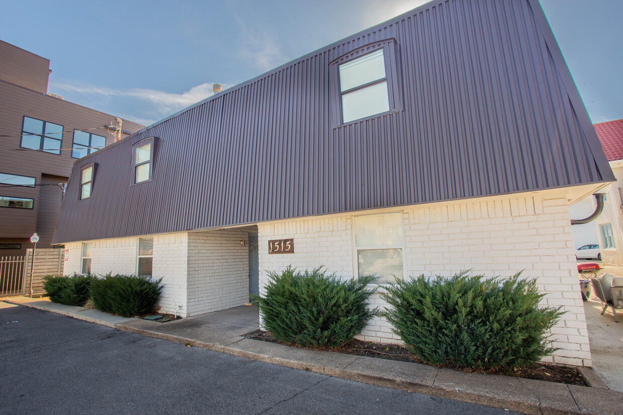
1515 Bennett Ave
Dallas, TX 75206


