
Everly
2000 2nd St SW,
Washington, DC 20024
Studio - 2 Beds $2,173 - $6,570
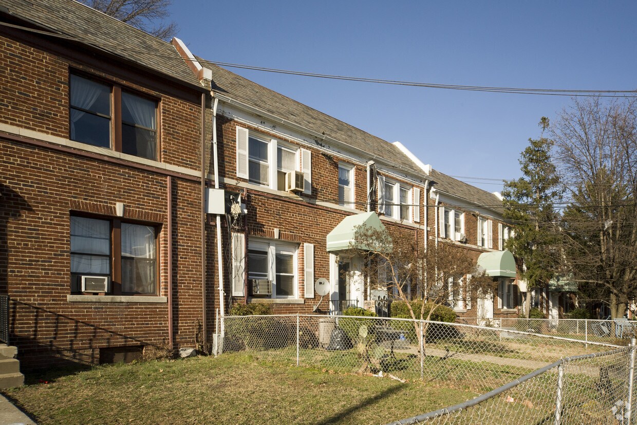

1336-1344 Bryant St NE offers a combination of quality and comfort. Located at 1336-1344 Bryant St. Ne in Washington, this community is an ideal place to move. Make a visit to check out the current floorplan options. The leasing team is waiting to show you all that this community has to offer. Stop by 1336-1344 Bryant St NE today.
1336-1344 Bryant St NE is an apartment community located in District of Columbia County and the 20018 ZIP Code. This area is served by the District Of Columbia Public Schools attendance zone.
Brentwood is located between Rhode Island Avenue and New York Avenue, directly north of Gallaudet University. The best thing about this neighborhood is its location -- it is close to many DC attractions, including the nearby United States National Arboretum. Just a few blocks northeast of downtown, other attractions include the Smithsonian National Postal Museum, Capital One Arena, National Building Museum and the International Spy Museum. It is also in the middle of several universities: the Catholic University of America to the north, Howard University to the west, and Gallaudet University to the south. Brentwood contains the Rhode Island Ave-Brentwood Metro station, making commuting throughout DC a breeze.
Learn more about living in Brentwood DC| Colleges & Universities | Distance | ||
|---|---|---|---|
| Colleges & Universities | Distance | ||
| Drive: | 3 min | 1.2 mi | |
| Drive: | 4 min | 1.3 mi | |
| Drive: | 6 min | 2.1 mi | |
| Drive: | 6 min | 2.6 mi |

Transportation options available in Washington include Rhode Island Ave-Brentwood, located 0.7 mile from 1336-1344 Bryant St NE. 1336-1344 Bryant St NE is near Ronald Reagan Washington Ntl, located 8.2 miles or 14 minutes away, and Baltimore/Washington International Thurgood Marshall, located 29.4 miles or 43 minutes away.
| Transit / Subway | Distance | ||
|---|---|---|---|
| Transit / Subway | Distance | ||
|
|
Walk: | 12 min | 0.7 mi |
|
|
Drive: | 3 min | 1.3 mi |
|
|
Drive: | 4 min | 2.1 mi |
| Drive: | 3 min | 2.2 mi | |
| Drive: | 4 min | 2.4 mi |
| Commuter Rail | Distance | ||
|---|---|---|---|
| Commuter Rail | Distance | ||
|
|
Drive: | 4 min | 2.3 mi |
|
|
Drive: | 5 min | 2.5 mi |
|
|
Drive: | 7 min | 4.1 mi |
|
|
Drive: | 7 min | 4.1 mi |
|
|
Drive: | 10 min | 5.1 mi |
| Airports | Distance | ||
|---|---|---|---|
| Airports | Distance | ||
|
Ronald Reagan Washington Ntl
|
Drive: | 14 min | 8.2 mi |
|
Baltimore/Washington International Thurgood Marshall
|
Drive: | 43 min | 29.4 mi |
Time and distance from 1336-1344 Bryant St NE.
| Shopping Centers | Distance | ||
|---|---|---|---|
| Shopping Centers | Distance | ||
| Walk: | 3 min | 0.2 mi | |
| Walk: | 8 min | 0.4 mi | |
| Walk: | 16 min | 0.8 mi |
| Parks and Recreation | Distance | ||
|---|---|---|---|
| Parks and Recreation | Distance | ||
|
Washington Youth Garden
|
Drive: | 3 min | 1.6 mi |
|
National Arboretum
|
Drive: | 7 min | 2.3 mi |
|
Carter G. Woodson Home National Historic Site
|
Drive: | 5 min | 2.3 mi |
|
Mount Rainier Nature Center
|
Drive: | 6 min | 2.9 mi |
|
Kingman and Heritage Island Park
|
Drive: | 6 min | 3.0 mi |
| Hospitals | Distance | ||
|---|---|---|---|
| Hospitals | Distance | ||
| Drive: | 4 min | 1.7 mi | |
| Drive: | 5 min | 2.2 mi | |
| Drive: | 4 min | 2.2 mi |
| Military Bases | Distance | ||
|---|---|---|---|
| Military Bases | Distance | ||
| Drive: | 5 min | 2.1 mi | |
| Drive: | 7 min | 3.8 mi |
What Are Walk Score®, Transit Score®, and Bike Score® Ratings?
Walk Score® measures the walkability of any address. Transit Score® measures access to public transit. Bike Score® measures the bikeability of any address.
What is a Sound Score Rating?
A Sound Score Rating aggregates noise caused by vehicle traffic, airplane traffic and local sources

1336-1344 Bryant St NE
Washington, DC 20018


