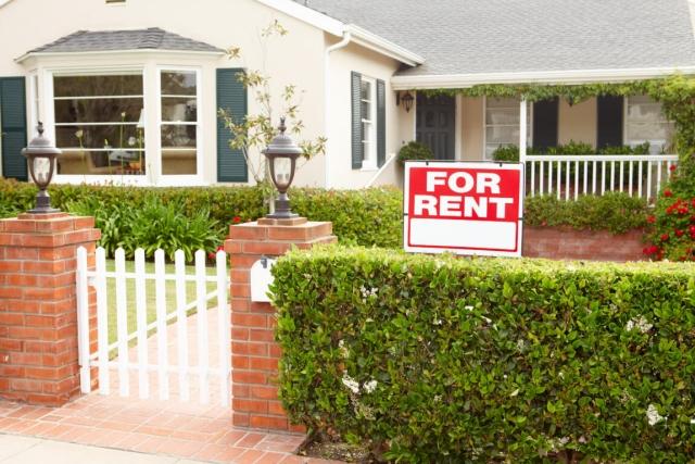
Apartments for Rent in Monrovia CA - 584 Rentals


Find the Perfect Monrovia, CA Apartment
Monrovia, CA Apartments for Rent
Living in Monrovia means waking up to mountain views and spending weekends exploring a walkable downtown filled with character. Tucked in the foothills of the San Gabriel Mountains, this Southern California city balances small-town charm with the convenience of nearby urban hubs like Pasadena and Downtown Los Angeles. Whether you're commuting for work or looking to stay local, Monrovia makes everyday living feel easy.
You'll find a variety of rentals in Monrovia, from modern apartment communities near Station Square Park to cottages in tree-lined neighborhoods. Old Town gives the city a personality all on its own, with its century-old buildings and weekly Friday Street Fair. The city’s Metro Gold Line station makes it easy to commute to LA and beyond.
For those who love the outdoors, Monrovia Canyon Park offers scenic hikes and a quiet escape into nature. Myrtle Avenue is the place to go for coffee shops, local restaurants, and boutiques. Explore available rentals in Monrovia and discover a place that feels just right.
Monrovia, CA Rental Insights
Average Rent Rates
What is the average rent in Monrovia, CA?
The average rent in Monrovia is $2,242. When you rent an apartment in Monrovia, you can expect to pay as little as $1,428 or as much as $3,350, depending on the location and the size of the apartment.
What is the average rent of a Studio apartment in Monrovia, CA?
The average rent for a studio apartment in Monrovia, CA is $1,428 per month.
What is the average rent of a 1 bedroom apartment in Monrovia, CA?
The average rent for a one bedroom apartment in Monrovia, CA is $2,242 per month.
What is the average rent of a 2 bedroom apartment in Monrovia, CA?
The average rent for a two bedroom apartment in Monrovia, CA is $2,530 per month.
What is the average rent of a 3 bedroom apartment in Monrovia, CA?
The average rent for a three bedroom apartment in Monrovia, CA is $3,350 per month.
Education
What colleges and universities are in Monrovia, CA?
If you’re a student moving to an apartment in Monrovia, you’ll have access to Citrus College, Azusa Pacific University, and Pasadena City College.
Helpful Rental Guides for Monrovia, CA


Search Nearby Rentals
Rentals Near Monrovia
Neighborhood Apartment Rentals
- San Gabriel Valley Apartments for Rent
- Southeast Los Angeles Apartments for Rent
- Northeast Los Angeles Apartments for Rent
- Downtown Los Angeles Apartments for Rent
- East Hollywood Apartments for Rent
- Westlake Apartments for Rent
- Koreatown Apartments for Rent
- The Oak Park Apartments for Rent
- Pacific View Apartments for Rent
- Norumbega Apartments for Rent