
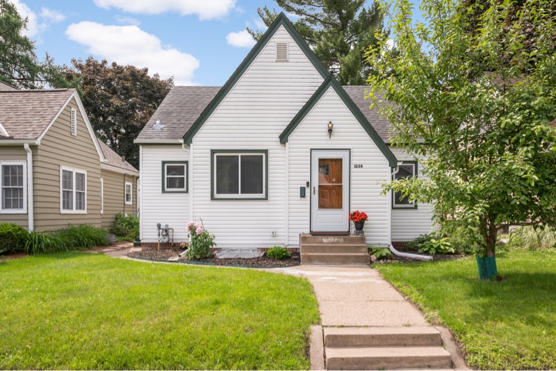
1234 Watson Ave
Saint Paul, MN 55116
-
Bedrooms
4
-
Bathrooms
2
-
Square Feet
1,900 sq ft
-
Available
Available Aug 1
Highlights
- Pets Allowed
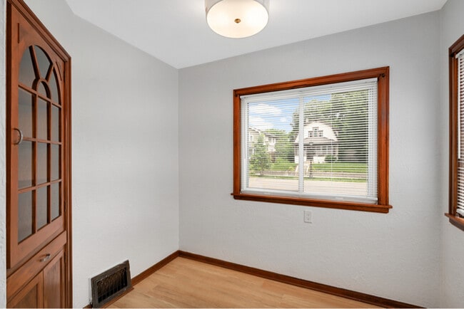
- Hardwood Floors
- Fenced Lot
- Security System

About This Home
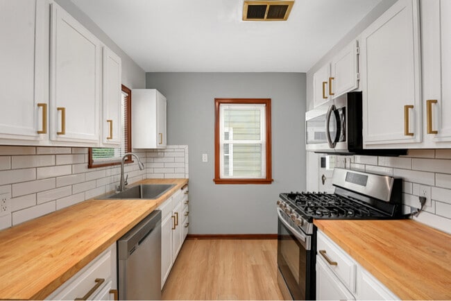
Property Id: 1862419 Renovated 4BR, 2BA single-family home in Saint Paul's Highland Park. Property features an eat in kitchen, deck and brick patio. Pet-friendly for small dogs and cats! Quick commute to downtown Mpls/St. Paul and close to Hamline, Concordia, St. Thomas, Saint Paul College, Macalester, St. Kate and U of M - St. Paul. 12-month lease required. Tenant responsible for garbage, water/sewer, electric and gas Application needed for all occupants 18+. Application Criteria: Preferred credit score 650+ No evictions, UDs, or judgments Clean criminal background Income 2.5x rent (verified by paystubs) Contact us to apply or schedule a tour!
1234 Watson Ave is a house located in Ramsey County and the 55116 ZIP Code. This area is served by the St. Paul Public attendance zone.
House Features
Washer/Dryer
Dishwasher
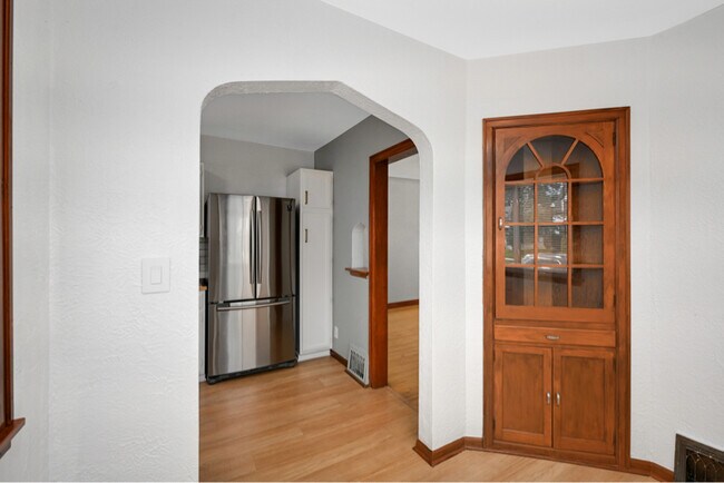
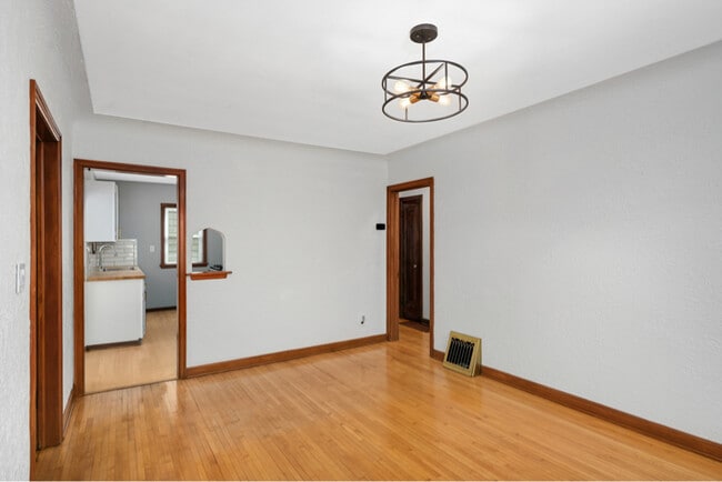
Hardwood Floors
Microwave
- Washer/Dryer
- Cable Ready
- Security System
- Intercom
- Dishwasher
- Disposal
- Microwave
- Oven
- Refrigerator
- Freezer
- Hardwood Floors
- Tile Floors
- Fenced Lot
- Lawn
Fees and Policies
The fees below are based on community-supplied data and may exclude additional fees and utilities.
- Dogs Allowed
-
Fees not specified
- Cats Allowed
-
Fees not specified
Contact
- Phone Number
- Contact
-
Source

- Washer/Dryer
- Cable Ready
- Security System
- Intercom
- Dishwasher
- Disposal
- Microwave
- Oven
- Refrigerator
- Freezer
- Hardwood Floors
- Tile Floors
- Fenced Lot
- Lawn
The Highland community lies in the southwestern corner of Saint Paul, just 10 miles from Downtown Minneapolis. Highland is to the north of Fort Snelling, adjacent to the Mississippi River.
A 50/50 blend of commercial and residential buildings, Highland residents enjoy plentiful shopping and restaurants near their apartments. Saint Catherine University resides here, and it’s in walking distance of local eateries at the corner of Cleveland Avenue South and Ford Parkway.
A predominantly residential neighborhood, there are tons of outdoor activities to do, like improving your game at the Highland National Golf Course or picnicking at Crosby Farm Park. For easy travel, residents are comforted by their proximity to Interstate 35E and the international airport. The amusement park and aquarium at Mall of America are a short 10-minute drive from Highland.
Learn more about living in Highland| Colleges & Universities | Distance | ||
|---|---|---|---|
| Colleges & Universities | Distance | ||
| Drive: | 4 min | 1.7 mi | |
| Drive: | 6 min | 1.9 mi | |
| Drive: | 5 min | 1.9 mi | |
| Drive: | 7 min | 3.2 mi |


View GreatSchools Rating Methodology
Data provided by GreatSchools.org © 2025. All rights reserved.
Transportation options available in Saint Paul include Hamline Ave Station, located 2.8 miles from 1234 Watson Ave. 1234 Watson Ave is near Minneapolis-St Paul International/Wold-Chamberlain, located 6.3 miles or 13 minutes away.
| Transit / Subway | Distance | ||
|---|---|---|---|
| Transit / Subway | Distance | ||
| Drive: | 7 min | 2.8 mi | |
| Drive: | 6 min | 2.8 mi | |
| Drive: | 7 min | 2.9 mi | |
| Drive: | 7 min | 2.9 mi | |
| Drive: | 7 min | 3.4 mi |
| Commuter Rail | Distance | ||
|---|---|---|---|
| Commuter Rail | Distance | ||
|
|
Drive: | 9 min | 4.3 mi |
|
|
Drive: | 19 min | 9.2 mi |
|
|
Drive: | 27 min | 17.8 mi |
|
|
Drive: | 37 min | 26.6 mi |
|
|
Drive: | 38 min | 28.2 mi |
| Airports | Distance | ||
|---|---|---|---|
| Airports | Distance | ||
|
Minneapolis-St Paul International/Wold-Chamberlain
|
Drive: | 13 min | 6.3 mi |
Time and distance from 1234 Watson Ave.
| Shopping Centers | Distance | ||
|---|---|---|---|
| Shopping Centers | Distance | ||
| Drive: | 4 min | 1.8 mi | |
| Drive: | 4 min | 1.9 mi | |
| Drive: | 4 min | 1.9 mi |
| Parks and Recreation | Distance | ||
|---|---|---|---|
| Parks and Recreation | Distance | ||
|
Highland Park and Golf Course
|
Drive: | 3 min | 1.3 mi |
|
Macalester College Observatory
|
Drive: | 4 min | 1.7 mi |
|
Hidden Falls Park
|
Drive: | 10 min | 3.4 mi |
|
Crosby Farm Regional Park
|
Drive: | 7 min | 3.7 mi |
|
Cherokee Regional Park
|
Drive: | 9 min | 4.3 mi |
| Hospitals | Distance | ||
|---|---|---|---|
| Hospitals | Distance | ||
| Drive: | 5 min | 2.8 mi | |
| Drive: | 7 min | 3.5 mi | |
| Drive: | 8 min | 4.0 mi |
| Military Bases | Distance | ||
|---|---|---|---|
| Military Bases | Distance | ||
| Drive: | 12 min | 5.0 mi |
You May Also Like
What Are Walk Score®, Transit Score®, and Bike Score® Ratings?
Walk Score® measures the walkability of any address. Transit Score® measures access to public transit. Bike Score® measures the bikeability of any address.
What is a Sound Score Rating?
A Sound Score Rating aggregates noise caused by vehicle traffic, airplane traffic and local sources
1234 Watson Ave
Saint Paul, MN 55116